Starting point: Reka (253 m)
| Lat/Lon: | 46,1175°N 13,9214°E |
| |
Time of walking: 1 h 20 min
Difficulty: partly demanding marked way
Altitude difference: 386 m
Altitude difference po putu: 386 m
Map: Škofjeloško in Cerkljansko hribovje 1:50.000
Recommended equipment (summer): helmet
Recommended equipment (winter): helmet, ice axe, crampons
Views: 7.789
 | 1 person likes this post |
Access to the starting point:
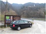
a) First drive to Idrija, then continue to Tolmin. After a while, the road leads to a crossroads where the road to Cerkno turns off to the right, and we still continue straight on, but we pay attention because we will soon arrive in Reka. Just after the end of the place, we first see the signs for Kojca and a few 10 m further on for Šebrelje. Here, a narrower road branches off to the left, which leads us over a bridge over the Idrijca River to a small parking area next to the information boards for the Divje babe Archaeological Park.
b) Take Most na Soči or Podbrdo to Bača pri Modreju, then continue driving towards Idrija. Just 10 m before Reka starts, turn right over the bridge over the Idrijca River and park in the small parking lot next to the information boards.
Path description:
From the starting point, you can already see the Church of St Ivan, which stands at the top of a rather steep ridge and can serve as a better orientation. From the starting point, continue along the road, which initially turns to the left and quickly leads to the crossroads at the trestle. Continue right along the road to the last house at which you then turn left and start climbing steeply up the grassy slope. Higher up, the path leads into the forest and continues to climb. Occasionally we open a view towards the peaks to the north of us, and the path soon leads us to a small saddle. The trail continues along the south-eastern side of the mountain and leads to steep and, in some places, precipitous slopes. The path is beautiful and quite wide, but a little caution will not be superfluous. The path becomes less difficult and leads to a road.
To the right, the road leads to the nearby Church of St Ivan, and not far away is the archaeological site of Divje Babe.
If we do not visit the above-mentioned destinations at the crossroads, we continue to the left and the road soon leads us to the village of Šebrelje.

Pictures:
 1
1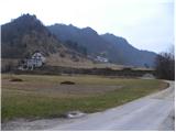 2
2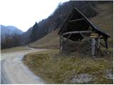 3
3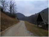 4
4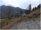 5
5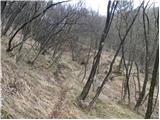 6
6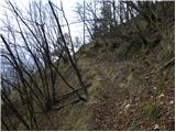 7
7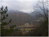 8
8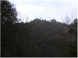 9
9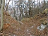 10
10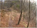 11
11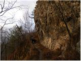 12
12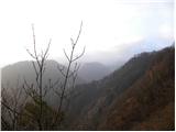 13
13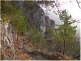 14
14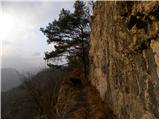 15
15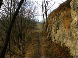 16
16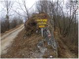 17
17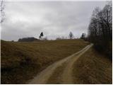 18
18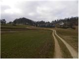 19
19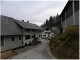 20
20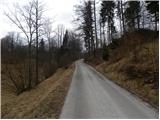 21
21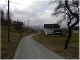 22
22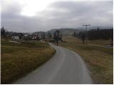 23
23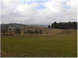 24
24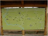 25
25
Discussion about the trail Reka - Šebrelje