Rein - Mühlbacher Hütte (Hunting path / Jägersteig)
Starting point: Rein (452 m)
| Lat/Lon: | 47,13706°N 15,28756°E |
| |
Name of path: Hunting path / Jägersteig
Time of walking: 2 h
Difficulty: easy marked way
Altitude difference: 544 m
Altitude difference po putu: 565 m
Map: https://www.bergfex.at
Recommended equipment (summer):
Recommended equipment (winter):
Views: 185
 | 2 people like this post |
Access to the starting point:
From the motorway Maribor-Graz-Salzburg (A9) take the exit Gratkorn-Nord, 2nd exit after the Plabutschtunnel. Turn right towards Rein. Go through three roundabouts. Take the 1st exit at the first, the 2nd exit at the second and the 1st exit towards Rein at the third. There are two more forks, where you turn right at the 1st fork and left at the 2nd fork. After 2. 5 km you arrive in Rein, where you park in a large parking lot for visitors to the monastery.
Path description:
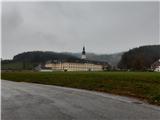
From the parking lot, follow the pavement towards the monastery. At the crossroads, turn right over the Mühlbach stream bridge. Just after the first house, turn right again. A few metres after the path changes from asphalt to gravel, turn right onto the hunting trail (signposted Jägersteig). Follow the trail along the fence for 100 metres and then turn sharp right up a steep incline. At the top of the slope, you reach a ridge and turn left. Follow the ridge, first steeply up, then gently up/down until the path joins the road. Continue up the road and after about 800 m the sign directs you back to the forest path. Follow the path until you cross the road. There is a crossroads where you take the path to the left. Follow the signs. After a steep part of the trail, you will reach a macadam road, where you continue to the left. Follow the road for about 2. 5 km and, in fine weather, admire the view of the valley. A sign on a rock directs you to a wider forest path, which you follow to the hut.

Pictures:
 1
1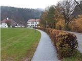 2
2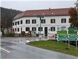 3
3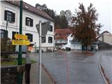 4
4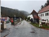 5
5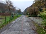 6
6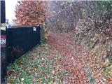 7
7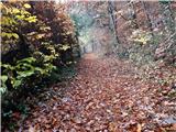 8
8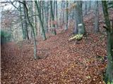 9
9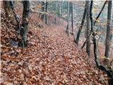 10
10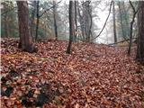 11
11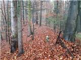 12
12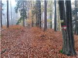 13
13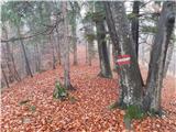 14
14 15
15 16
16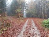 17
17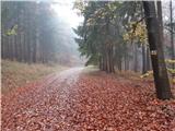 18
18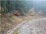 19
19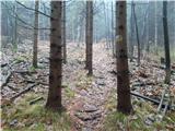 20
20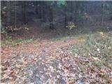 21
21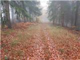 22
22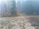 23
23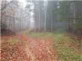 24
24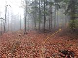 25
25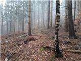 26
26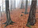 27
27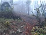 28
28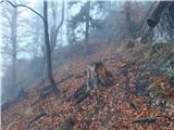 29
29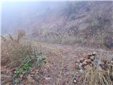 30
30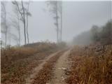 31
31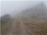 32
32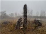 33
33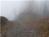 34
34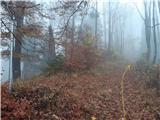 35
35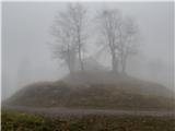 36
36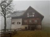 37
37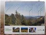 38
38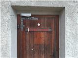 39
39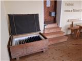 40
40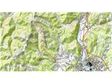 41
41
Discussion about the trail Rein - Mühlbacher Hütte (Hunting path / Jägersteig)