Razpotje Vragovec - Prešernova koča na Stolu (via Zabreška planina)
Starting point: Razpotje Vragovec (1125 m)
| Lat/Lon: | 46,4142°N 14,1713°E |
| |
Name of path: via Zabreška planina
Time of walking: 2 h 45 min
Difficulty: easy marked way
Altitude difference: 1049 m
Altitude difference po putu: 1049 m
Map: Karavanke - osrednji del 1:50.000
Recommended equipment (summer):
Recommended equipment (winter): ice axe, crampons
Views: 2.180
 | 1 person likes this post |
Access to the starting point:
a) From the motorway Ljubljana - Jesenice take the exit Lesce, then continue from the roundabout in the direction of Žirovnice and Vrba. Continue along the main road towards Jesenice, which leads first past Vrba and then past Žirovnica. After the bridge over the Završnice River, at the first crossroads, take a sharp right (the exit is not marked) towards Most. At the next crossroads, about 50 m further on, turn left towards Završnice. Follow the Završnice valley to the marked crossroads, located some 10 m before the Završnice lake, and turn left in the direction of Valvasor's home under the Stol. Continue along the ascending (mostly) dirt road, which you follow for about 4 km to a marked crossroads, where you turn right in the direction of Zabreška and Doslovška planina (straight Valvasorjev dom, Potoška mountain pasture. . . ). From the crossroads, continue driving along the road, which climbs transversely to the right, and at the ipsilon (Y) crossroads, turn left onto a steeper road, which is then followed to a smaller crossroads, where there are usually several logs stacked. Park near the junction so as not to interfere with any forestry work.
b) First, take the Bled, from where you continue driving towards Lesce and the motorway. From the roundabout near the motorway, take the exit towards Vrba and Žirovnica. Continue along the main road towards Jesenice, which takes you first past Vrba and then past Žirovnica. After the bridge over the Završnice River, at the first crossroads, take a sharp right (the exit is not marked) towards Most. At the next crossroads, about 50 m further on, turn left towards Završnice. Follow the Završnice valley to the marked crossroads, located some 10 m before the Završnice lake, and turn left in the direction of Valvasor's home under the Stol. Continue along the ascending (mostly) dirt road, which you follow for about 4 km to a marked crossroads, where you turn right in the direction of Zabreška and Doslovška planina (straight Valvasorjev dom, Potoška mountain pasture. . . ). From the crossroads, continue driving along the road, which climbs transversely to the right, and at the ipsilon (Y) crossroads, turn left onto a steeper road, which is then followed to a smaller crossroads, where there are usually several logs stacked. Park near the junction so as not to interfere with any forestry work. c) Take the old road from Jesenice to Lesce. At the 4 km marker, you will also see a signpost indicating the beginning of the municipality of Žirovnica, and at the first crossroads after the signpost, continue slightly left towards Most (the exit from the main road is not marked). At the next crossroads, about 50 m further on, turn left towards Završnice. Follow the Završnice valley to the marked crossroads, located some 10 m before the Završnice lake, and turn left in the direction of Valvasor's home under the Stol. Continue along the ascending (mostly) dirt road, which you follow for about 4 km to a marked crossroads, where you turn right in the direction of Zabreška and Doslovška planina (straight Valvasorjev dom, Potoška mountain pasture. . . ). From the crossroads, continue driving along the road, which climbs transversely to the right, and at the ipsilon (Y) crossroads, turn left onto a steeper road, which is then followed to a smaller crossroads, where there are usually several logs stacked. Park near the junction so as not to interfere with any forestry work.
Path description:
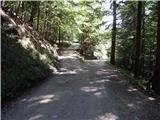
From the starting point, continue along the left road (right Doslovška planina), which leads us through the forest for a few minutes, and then past the clearing where the wooden hut stands quickly leads to the turning point at the road closure (ramp).
Behind the fence, we leave the forest and the path leads us to the vast Zabreška planina, over which we quickly walk to the shepherd's hut at the above-mentioned mountain pasture, enjoying the beautiful views.
From the shepherd's hut, continue right towards Hochstuhla, following the path which climbs past a water trough. A few steps higher, the path leads past a waterhole and then climbs crosswise to the right. After a few minutes, when you reach Stara planina, the signs for Hochstuhl direct you to the left, where, after a slightly steeper ascent, you quickly reach the marked Zabreško trail, which leads from Valvasor's House to Prešeren's Cottage.
Follow the trail to the right, and then climb cross-climbing to the right, first above Stara planina and then through the forest. When the path turns slightly to the left in the woods, it is joined on the right by the obvious but unmarked path from the hunting lodge above Doslovška mountain pasture. A few minutes higher up, the path turns to the left and then climbs quickly to a large clearing, at the edge of which is Betonska bajta (1606 m).
After the byte, the markings for Hochstuhl direct us to the right, into the forest, where we immediately see a sign, which urges us to take a log to Prešern's hut. In the following, we walk through the forest for a short time, and then, passing a pleasant bench "resting at John", we arrive at a left turn, where, just a few steps before the turn, an even less well-trodden, unmarked path joins us on the right, from the Tinček's hut. From the bend onwards, we climb crosswise through the dwarf pines zone, along an increasingly scenic route, from which we have beautiful views towards Gorenjska and the Julian Alps. Higher up, the trail turns right again, and then leads past Finžgarjeva skala to a grassy leveling, where the marked trail turns left and passes to the summit on the south-eastern slope of Malý Stoľa. We continue to climb along the path, which opens up really beautiful views to the east, and we climb to Prešeren's hut in about 30 minutes, with views that also reach Julian Alps. From the hut, you can climb to Mali Stol within a minute's walk.
Starting point - Zabreška planina 20 minutes, Zabreška planina - Prešernova koča 2:25.
Description and pictures refer to the situation in 2015 (September).

We can extend the trip to the following destinations: Stol
Pictures:
 1
1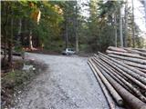 2
2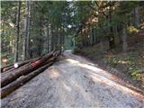 3
3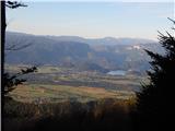 4
4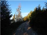 5
5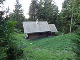 6
6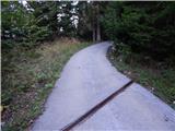 7
7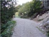 8
8 9
9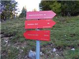 10
10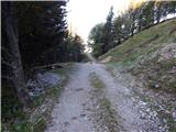 11
11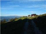 12
12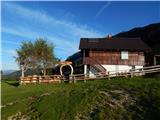 13
13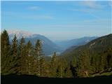 14
14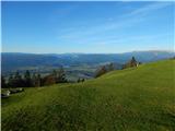 15
15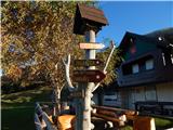 16
16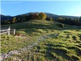 17
17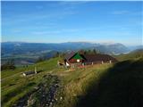 18
18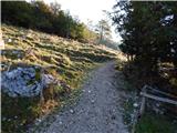 19
19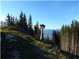 20
20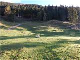 21
21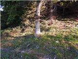 22
22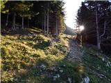 23
23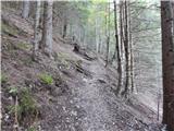 24
24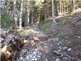 25
25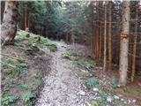 26
26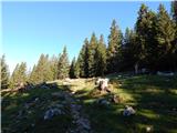 27
27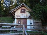 28
28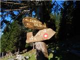 29
29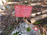 30
30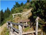 31
31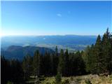 32
32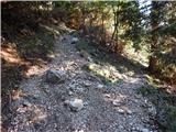 33
33 34
34 35
35 36
36 37
37 38
38 39
39 40
40 41
41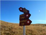 42
42 43
43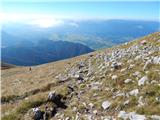 44
44 45
45 46
46 47
47 48
48 49
49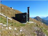 50
50 51
51
Discussion about the trail Razpotje Vragovec - Prešernova koča na Stolu (via Zabreška planina)