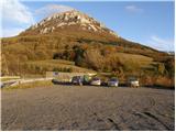
Starting point: Razdrto (575 m)
| Lat/Lon: | 45,7591°N 14,0619°E |
| |
Time of walking: 2 h 5 min
Difficulty: easy unmarked way
Altitude difference: 634 m
Altitude difference po putu: 634 m
Map: Nanos 1:50.000
Recommended equipment (summer):
Recommended equipment (winter): ice axe, crampons
Views: 13.083
 | 1 person likes this post |
Access to the starting point:
From the motorway Ljubljana - Koper or Ljubljana - Nova Gorica take the exit Razdrto. Follow the road to the village Razdrto and then in the centre of the village continue towards the villages Strane and Veliko Ubeljsko. Just above the village you will come to a large parking lot.
Path description:
From the parking lot, continue along the asphalted road, which crosses the motorway via a bridge and leads to a small crossroads at the mountain signposts on the other side. Here, continue left along the macadam road to where the footpath to Nanos branches off to the right uphill. The path initially climbs up a grassy slope and then goes into the forest, where after a few minutes it leads to a crossroads.
Continue straight in the direction of the laid path, which soon leads us across a meadow, after which the path goes into the woods and begins to climb gently. The path continues to climb crosswise to the north-west, first through the forest and then along an increasingly scenic slope. After a good hour and a half of walking, the path from Sveti Hieronim joins us from the left (3 minutes of gentle descent from our path to the left).
Continue in the direction of Vojkove huts along the path, which leads us only a few steps further to a less visible crossroads, where the unmarked path to Grmada branches off to the left.
We focus on the above-mentioned unmarked and slightly less visible path, which is slightly more ascending and soon leads us to a forest road, which we just cross. Continue the ascent along a relatively steep path, which climbs over an increasingly scenic grassy slope. Higher up, the path bends slightly to the right, where it gradually changes to an undistinguished ridge, which is then followed by a few minutes of further walking to the top of Grmada.

Pictures:
 1
1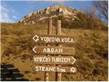 2
2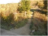 3
3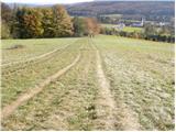 4
4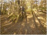 5
5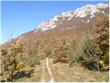 6
6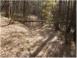 7
7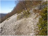 8
8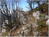 9
9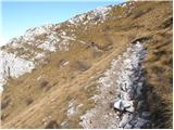 10
10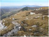 11
11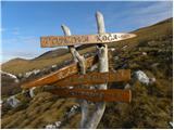 12
12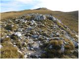 13
13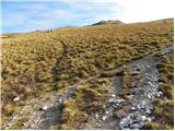 14
14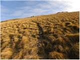 15
15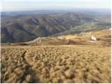 16
16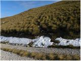 17
17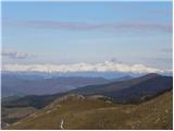 18
18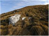 19
19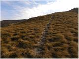 20
20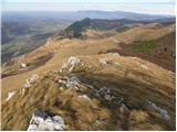 21
21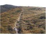 22
22 23
23
Discussion about the trail Razdrto - Grmada (Nanos)
|
| Hribolazec8117. 05. 2018 |
Tukaj se lahko obišče najprej Vojkov dom na nanosu in nato na grmado naprej?
|
|
|
|
| darinka417. 05. 2018 |
Grmada je čisto lahek vrh. Jaz grem ponavadi kar čez Grmado, in potem do cerkvice in po položni v Razdrto.
|
|
|