Preserje - Žalostna gora at Preserje
Starting point: Preserje (360 m)
| Lat/Lon: | 45,9548°N 14,4164°E |
| |
Time of walking: 30 min
Difficulty: easy marked way
Altitude difference: 58 m
Altitude difference po putu: 100 m
Map: Ljubljana - okolica 1:50.000
Recommended equipment (summer):
Recommended equipment (winter):
Views: 5.258
 | 1 person likes this post |
Access to the starting point:
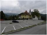
From the Ljubljana - Koper motorway, take the Brezovica exit and then continue in the direction of Podpeči. In Podpeča, from where the roads from Črna vas and Ig join, turn right in the direction of Krimo, Rakitna and Borovnice. Follow the road towards Borovnica for a short distance, then the signs for Rakitna direct you left up a slightly narrower and mainly steep road, which you then follow to Preserje. In Preserje, the road to Rakitna turns sharp left, and we continue straight on in the direction of Kamnik pod Krim. From the crossroads, follow the main road for another 10 metres, then turn left towards the parish church of St. Vida in Preserje, in front of which you park in a large asphalted parking lot.
Path description:
From the parking lot, we return to the main road, which starts descending towards Kamnik pod Krim. After a short descent, you arrive in the above-mentioned place, and the road then stops descending, or even climbs slightly. The way ahead leads past a large chapel, after which we quickly reach the church of St Florian. Behind the church, which is located a few metres away from the main road, the road starts to descend.
At the point, or a few metres further on, where the road starts to descend, leave the main road and continue along the left-hand road towards Žalostna gora. There is a very short, steep climb and we reach the next crossroads, where the signs for Sad Mountain point us to the right (slightly left Prevalje pod Krimom). From the crossroads, next to which there is another chapel, the road first descends slightly and then begins to climb gently to moderately uphill. The road continues past a few residential houses and then turns into a macadam road, which leads through a lime tree grove to the top of Žalostna gora (Žalostna gora).

Pictures:
 1
1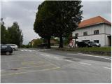 2
2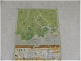 3
3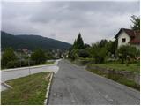 4
4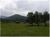 5
5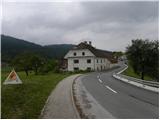 6
6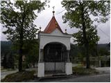 7
7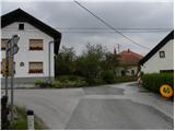 8
8 9
9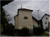 10
10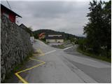 11
11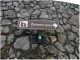 12
12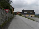 13
13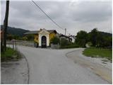 14
14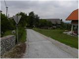 15
15 16
16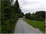 17
17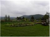 18
18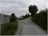 19
19 20
20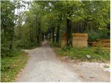 21
21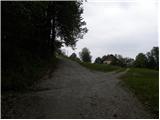 22
22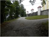 23
23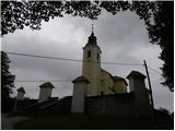 24
24 25
25
Discussion about the trail Preserje - Žalostna gora at Preserje