Predmeja - Navrše (Pot po Robu)
Starting point: Predmeja (875 m)
| Lat/Lon: | 45,9437°N 13,8763°E |
| |
Name of path: Pot po Robu
Time of walking: 2 h 15 min
Difficulty: easy marked way
Altitude difference: -18 m
Altitude difference po putu: 315 m
Map: Goriška - izletniška karta 1:50.000
Recommended equipment (summer):
Recommended equipment (winter):
Views: 4.219
 | 1 person likes this post |
Access to the starting point:
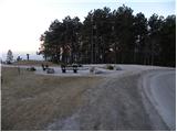
a) From central Slovenia, first drive to Logatec and then continue towards Idrija. At Kalce near Logatec, turn left towards Colo, then continue along the winding road towards Colo. Turn right at Colo and then left after 100 m in the direction of Predmeja. Continue along the sometimes slightly narrower and partly winding road to Predmeja. At Predmeja you will see signs for the Edge Trail and next to them the "Mother Mountain" monument and a large gravel parking area.
b) From the expressway Razdrto - Nova Gorica take the exit Ajdovščina and follow the road towards the village Lokavec (Lokavac can be reached from the centre of Ajdovščina, or from the old road Ajdovščina - Nova Gorica, where you turn right at the place Cesta). From Lokavac, continue driving along the ascending winding road towards Predmeja. When the road levels out a bit, you will come to a crossroads, where you continue to the right towards Predmeja and Colo. Follow the road towards Colo for only 100 m and then you will see a large parking area on the right and the mountain signs for the Edge Trail.
Path description:
From the starting point, first walk to the viewpoint, then continue left in the direction of the "Trail along the Edge". The initially less visible path first descends gently, then passes into the forest, through which it gradually begins to climb moderately. You quickly climb almost to the top of the 889 m high peak (unnamed on the maps) and then start descending. The route along the Edge continues through grassy hay meadows, with individual shrubs growing in the middle. A little further on, the path bends slightly to the right and leads to the edge of steep and partly precipitous slopes. The path and the slope then lay down, and we continue along the path, which crosses numerous meadows (in spring and summer the meadows are full of flowers). The path, which is occasionally less easy to follow and for a while runs along slopes that are dangerous for slipping, leads us higher up to a rocky jetty that descends precipitously towards the Vipava valley. The path then returns to the plateau world, and then begins to climb steeply along the edge of the cliffs (especially in wet conditions, there is also a risk of slipping). The path then leads out of the scrub onto a grassy slope, over which we climb to the top of Dolski maj in a few minutes.
From Dolski Maj we continue along the marked and occasionally slightly more overgrown path to the south-east. The path quickly descends into the forest, through which you continue for some time. After a while, the path becomes flatter and leads us out of the forest and back onto more scenic slopes. Continue along the edge of the plateau on a more scenic path, which continues without any major changes in elevation. A little further on, we cross the lane of the forest, and the path leads us to a wooden pillar with directional and information signs. Here we continue slightly to the right towards the Otliški maj lookout point (the path goes straight around the Otliški maj peak). The path climbs steeply and leads us to the lookout peak within 5 minutes of further walking.
From Otliški maj, descend the grassy slope and quickly join the path that goes around the summit on the left. Continue in the same direction and, just a little further on, arrive at a marked crossroads where the path from the source of the Hubl joins from the right. Continue in the direction of Sinji vrh and Otliško okno, and the path leads to a place where a path branches off to the left to a stone snail, which is only a minute's walk away. Continue straight ahead and in a few 10 steps further walking you will reach the information boards at the Otlice window. From the signs you can walk down to the window which offers a beautiful view of the Vipava valley.
From the window, continue along the path towards Sinje vrh. The path ahead quickly emerges from the forest and leads us to the viewing slopes, along which we climb along the edge of the cliffs in a south-easterly direction. After about 10 minutes' walk from the window, the path splits into two parts. At the point where the pasture fence makes a sharp left turn, leave the wide path and turn right onto a less well-marked path which, after a five-minute climb, leads to Navrše.

Pictures:
 1
1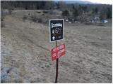 2
2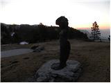 3
3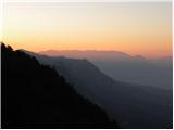 4
4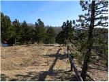 5
5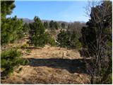 6
6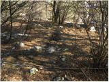 7
7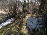 8
8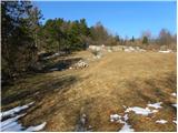 9
9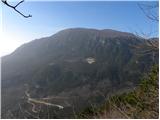 10
10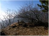 11
11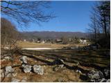 12
12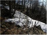 13
13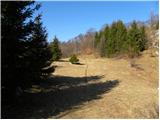 14
14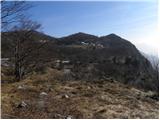 15
15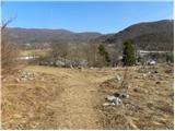 16
16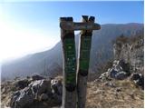 17
17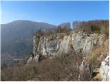 18
18 19
19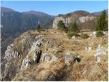 20
20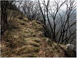 21
21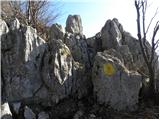 22
22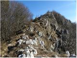 23
23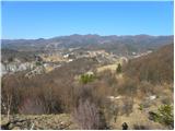 24
24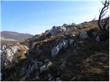 25
25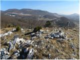 26
26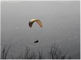 27
27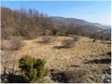 28
28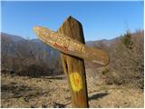 29
29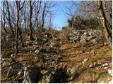 30
30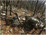 31
31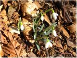 32
32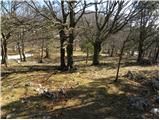 33
33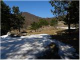 34
34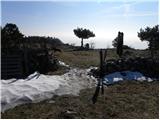 35
35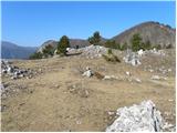 36
36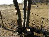 37
37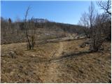 38
38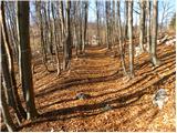 39
39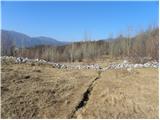 40
40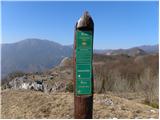 41
41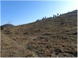 42
42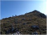 43
43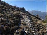 44
44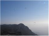 45
45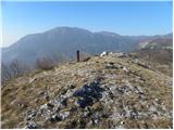 46
46 47
47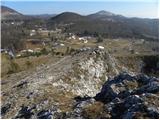 48
48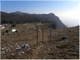 49
49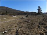 50
50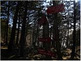 51
51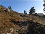 52
52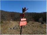 53
53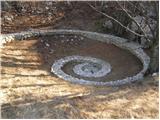 54
54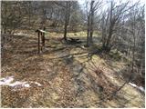 55
55 56
56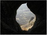 57
57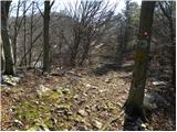 58
58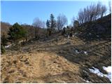 59
59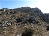 60
60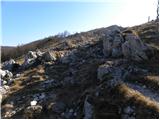 61
61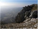 62
62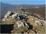 63
63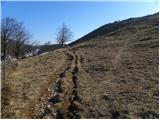 64
64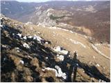 65
65 66
66
Discussion about the trail Predmeja - Navrše (Pot po Robu)