Predgrad - Kozice (by road)
Starting point: Predgrad (374 m)
| Lat/Lon: | 45,50433°N 15,05606°E |
| |
Name of path: by road
Time of walking: 1 h 30 min
Difficulty: easy marked way
Altitude difference: 367 m
Altitude difference po putu: 367 m
Map:
Recommended equipment (summer):
Recommended equipment (winter): ice axe, crampons
Views: 1.050
 | 1 person likes this post |
Access to the starting point:
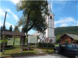
a) Take the Kočevje, then continue driving in the direction of Delnice. At Livold, leave the main road towards Croatia and turn left towards Črnomelj and Vinica. Continue through Mozelj, Rajndol, Knežja Lipa, Brezovica pri Predgradu, where the road turns sharp right, Čeplje, Zagozdac and Jelenja vas to Predgrad, where you park at the church of St. Sebastian in the parking lot next to the information boards.
b) From Vinica or Črnomelj, drive to the Old Market Square by the Kolpa River, from where you continue in the direction of Kočevje, and we drive only as far as Predgrad, where we park in the parking lot in front of the Church of St. Sebastian.
Path description:
Signs for Kozice direct us from the parking lot to the road, where we walk in the direction of Kočevje, and after a few 10 steps, the footpath to Kozice continues to the left behind a nearby house, and we continue along the road. The road then leads us past the Kolpe World information board, the Hace cafeteria, the birthplace of Jožef Šmalclja to the chapel, where we leave the main road and continue slightly left on a side road, and at the next crossroads by the cross, we go straight ahead. Continue past a few more houses and then into the woods, where you will pass a firewood store.
The tarmac ends just a little further on, and we continue on the dirt road, which has a few junctions higher up, and we follow the signs for Kozice - access by car. We follow the road, which climbs moderately for the most part and which leads us through the forest, all the way to its end at the top of Kozice by the RTV transmitter, where there is a registration box.
For a nice view, it is worth continuing towards the lookout point, which is reached after a descent of less than 5 minutes.
Description and pictures refer to the situation in August 2020.

Pictures:
 1
1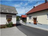 2
2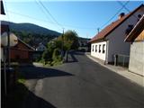 3
3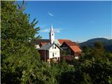 4
4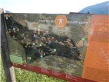 5
5 6
6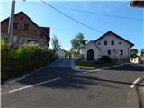 7
7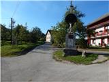 8
8 9
9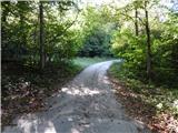 10
10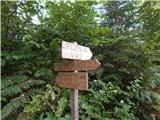 11
11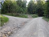 12
12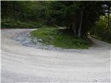 13
13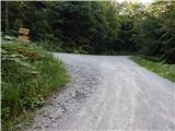 14
14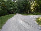 15
15 16
16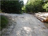 17
17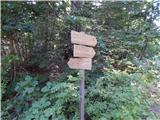 18
18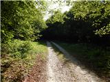 19
19 20
20 21
21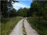 22
22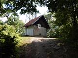 23
23 24
24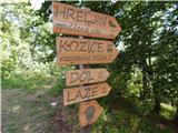 25
25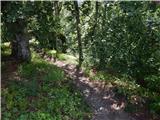 26
26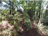 27
27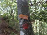 28
28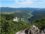 29
29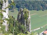 30
30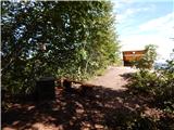 31
31 32
32
Discussion about the trail Predgrad - Kozice (by road)