Polhov Gradec - Visoki hrib
Starting point: Polhov Gradec (365 m)
| Lat/Lon: | 46,0613°N 14,3132°E |
| |
Time of walking: 1 h 15 min
Difficulty: easy marked way
Altitude difference: 237 m
Altitude difference po putu: 275 m
Map: Ljubljana - okolica 1:50.000
Recommended equipment (summer):
Recommended equipment (winter):
Views: 5.594
 | 1 person likes this post |
Access to the starting point:
From Dobrova or Horjul, take the road to Polhov Gradec, and at the junction by the bus stop, turn slightly left in the direction of Gorenje vas. From the bus stop, drive for about 300 m, then turn left at a small junction in front of the fire station and continue driving to the nearby chapel.
Path description:
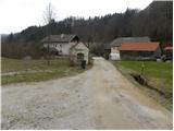
From the chapel we continue along the marked road, which leads us over a bridge to a hamlet of a few houses.
Between the houses we see cart track, which climbs steeply, then quickly leads us to a place where the markings direct us to the left on a partly overgrown footpath. At a higher level, return to cart track and follow it to where it leads out of the wods. Continue along the edge of the forest and after a few minutes' walk you will find yourself on the wide cart track, which leads you past the transmitter to the village. At the first or last house, turn slightly left and follow the road down to the next houses, and there, at the electricity pylon, turn right along the wide cart track. After a few minutes of easy walking, you reach the second part of the village, where you rejoin the asphalted road, which, after a short descent, leads you to a marked crossroads. Continue to the right in the direction of Koreno and Ključ, along the asphalted road, which ends at the "last" house.
To the right of the house you will see cart track, which continues the ascent through the forest. The path through the forest leads us over a number of small crossroads, but although the markings are sometimes quite rare and of an older date, they are placed in the right places, so there are no major problems with orientation. Higher up, we cross a grassy slope with a view, and then the path returns to the forest, where it leads us to a small log cabin. Here, turn right and continue your ascent along the forest path, which leads to the crest of Debelega hill. After a few minutes of further walking, you will reach a sign where the path splits into two parts. Continue along the upper right path (the left path bypasses the Visoki hrib peak) and within a few minutes of further walking, you will reach the aforementioned peak.

Pictures:
 1
1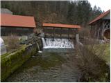 2
2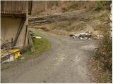 3
3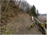 4
4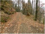 5
5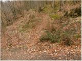 6
6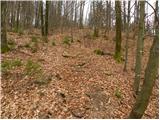 7
7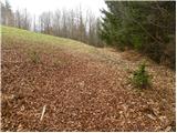 8
8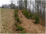 9
9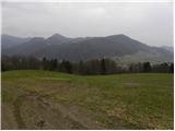 10
10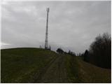 11
11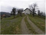 12
12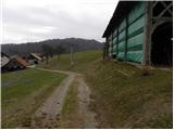 13
13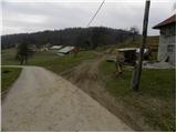 14
14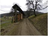 15
15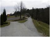 16
16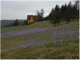 17
17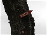 18
18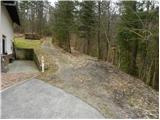 19
19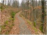 20
20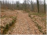 21
21 22
22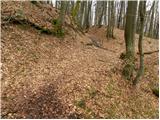 23
23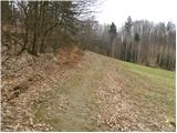 24
24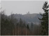 25
25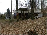 26
26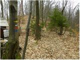 27
27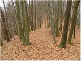 28
28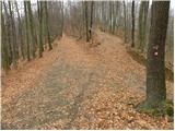 29
29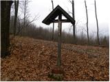 30
30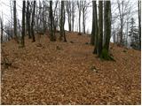 31
31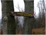 32
32 33
33
Discussion about the trail Polhov Gradec - Visoki hrib