Starting point: Podkoren (915 m)
| Lat/Lon: | 46,4982°N 13,7615°E |
| |
Time of walking: 2 h
Difficulty: easy unmarked way
Altitude difference: 735 m
Altitude difference po putu: 735 m
Map: Kranjska Gora 1:30.000
Recommended equipment (summer):
Recommended equipment (winter): ice axe, crampons
Views: 3.661
 | 3 people like this post |
Access to the starting point:
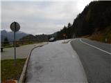
First drive to Kranjska Gora, then continue driving in the direction of Rateče. At Podkoren, turn right (or left if coming from Rateče) in the direction of Austria and the Koren saddle. It is only a short drive towards the border crossing, as soon after the first serpentine turn left into the parking area by the road.
Path description:
From the starting point, return to the bend and from there continue sharp left on the ascending cart track, which climbs steeply along the stream. Soon after crossing a torrential stream, climb the steep and partly water-ruined logging trail on the other side. Higher up, logging trail curves left and flattens out a bit. There is a cross-climb to the left, and then a sort of ridge is reached. When the ridge becomes a slope, the track enters a dense forest and becomes a little lost. Continue in the same direction, where logging trail becomes clearer again after only a few 10 metres. A little further on, the path leads over another cart track, and quickly reaches a dirt road above it. On the other side of the road we reach a wide and relatively new logging trail, which we follow for only a few steps, because after a few metres the old and partly overgrown logging trail branches off to the right and we continue our ascent. The Logging trail turns into a well-trodden hunting path higher up, which then climbs in switchbacks over a steeper slope. Higher up, where the slope flattens out, the hunting track becomes more difficult to follow, but when the slope becomes steeper again it is easier to follow. When you reach the dirt road a little further on, follow it leftwards until you reach a right turn a few steps away.
In the middle of the bend, on an indistinct ridge, you will see the continuation of the track, which continues through a dense spruce forest. The trail is harder to follow at this part, but if you follow the main ridge you will be on the right track. During the ascent, another hunting trail joins imperceptibly from the right (be careful especially when descending, so as not to miss the trail). The next road to follow is reached at a long right turn. Follow the road or cart track to where it ends or turns into a track, which takes a few minutes to reach the border ridge. When you reach the ridge, continue right and then follow the well-traced track south-west. The path, accompanied by blueberry bushes, then leads us out of the forest, with occasional views towards Austria, and a few 10 steps further on to the unmarked summit of the Visoke Bavhe. Description and figures refer to the situation in 2014 (October).

Pictures:
 1
1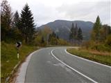 2
2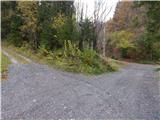 3
3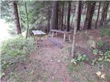 4
4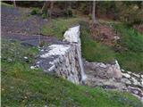 5
5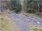 6
6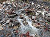 7
7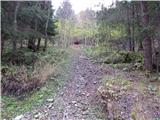 8
8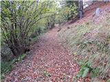 9
9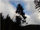 10
10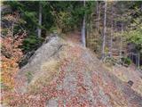 11
11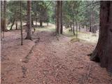 12
12 13
13 14
14 15
15 16
16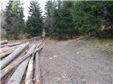 17
17 18
18 19
19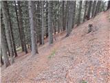 20
20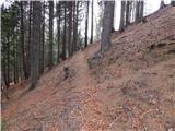 21
21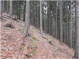 22
22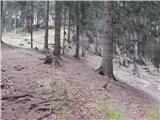 23
23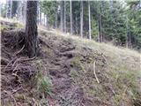 24
24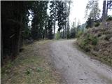 25
25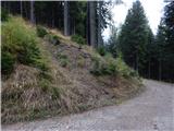 26
26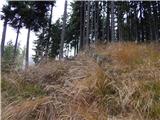 27
27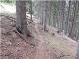 28
28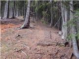 29
29 30
30 31
31 32
32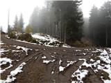 33
33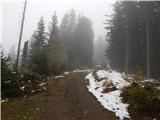 34
34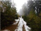 35
35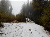 36
36 37
37 38
38 39
39 40
40 41
41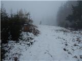 42
42 43
43 44
44 45
45
Discussion about the trail Podkoren - Visoka Bavha