Starting point: Plave (85 m)
| Lat/Lon: | 46,0401°N 13,5907°E |
| |
Time of walking: 1 h 35 min
Difficulty: easy unmarked way
Altitude difference: 527 m
Altitude difference po putu: 527 m
Map: Goriška - izletniška karta 1:50.000
Recommended equipment (summer):
Recommended equipment (winter):
Views: 1.815
 | 1 person likes this post |
Access to the starting point:
a) First drive to Nova Gorica, then continue driving in the direction of Bovec and Tolmin. Continue along the Soča valley, and follow the main road to Plave, where the road to Paljevo starts at a crossroads where the road to Paljevo branches off to the right. As there are no parking spaces at the starting point, we have to park somewhere else, preferably on a suitable spot on the roadside in front of or behind the village, or on the other side of the Soča River near the church or on the outskirts of the village.
b) Drive to Most na Soči and from there drive towards Nova Gorica. When you arrive at Plave, or the crossroads where the road to Paljevo branches off to the left, you are at the beginning of the route described above. As there are no parking spaces at the starting point, we have to park somewhere else, preferably on a suitable place on the roadside in front of or behind the settlement, or on the other side of the Soča River near the church, or somewhere on the outskirts of the village.
Path description:
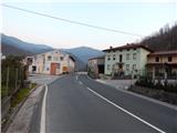
From Plave, follow the asphalt road towards Paljevo. The path initially leads us past a few houses, and then quickly leads us to the left serpentine, where a small object is located on the NOB memorial. We continue along a fairly scenic road, which leads us past a bench to the right serpentine, where the footpath continues in a straight line to Prižnica (corner 383), and we continue to the right, further along the road. We continue for a while, crossing the slopes to the right, and then, just after crossing a torrential stream in the serpentine, the road turns sharp left. From the road, which we continue to follow, we have a nice view towards Korada and Prižnica. When the road almost goes downhill into flatter terrain, we see cart track on the right hand side, with the unofficial Kuk markers next to it (the Kuk markers are made with spray paint).
The trail continues through the forest, taking you across several forks where you follow the Kuk markings or dots on the trees. The path is slightly more overgrown in parts and climbs moderately most of the time, then gradually turns slightly to the right at a higher level, where it starts to climb steeper and steeper. A few minutes of steep ascent follow, and then the path leads under a wooded ridge, where it continues to the left. There are a few minutes of easy walking just below the ridge, and then the path leads out of the forest to the Kuka airstrip, where there is also a small shelter.
The better-maintained path continues to the left of the shelter and crosses below the summit of Kuka. At the point where you are closest to the summit, leave the track and within a minute's walk climb up to the forested Kuk.
As the summit is in the forest, most hikers choose the nearby viewpoint as their destination.
Description and pictures refer to the situation in 2015 (March).

Pictures:
 1
1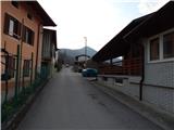 2
2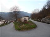 3
3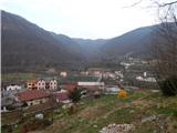 4
4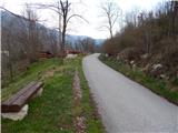 5
5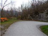 6
6 7
7 8
8 9
9 10
10 11
11 12
12 13
13 14
14 15
15 16
16 17
17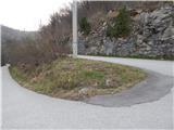 18
18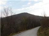 19
19 20
20 21
21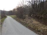 22
22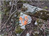 23
23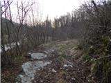 24
24 25
25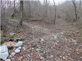 26
26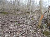 27
27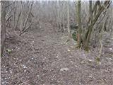 28
28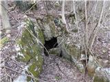 29
29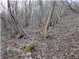 30
30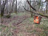 31
31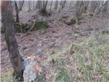 32
32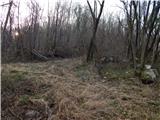 33
33 34
34 35
35 36
36 37
37 38
38 39
39 40
40 41
41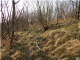 42
42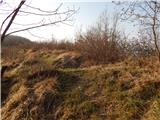 43
43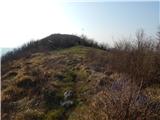 44
44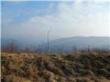 45
45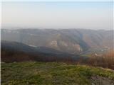 46
46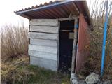 47
47 48
48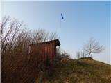 49
49 50
50 51
51 52
52 53
53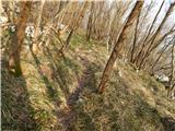 54
54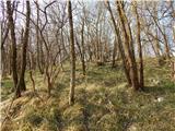 55
55
Discussion about the trail Plave - Kuk nad Paljevim