Platak - Planinarski dom na Risnjaku
Starting point: Platak (1111 m)
| Lat/Lon: | 45,4251°N 14,5653°E |
| |
Time of walking: 3 h 15 min
Difficulty: easy marked way
Altitude difference: 307 m
Altitude difference po putu: 500 m
Map:
Recommended equipment (summer):
Recommended equipment (winter):
Views: 9.977
 | 2 people like this post |
Access to the starting point:
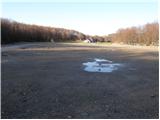
From the Zagreb - Rijeka motorway, take the Kikovica exit, which leads to the old Zagreb - Rijeka road. Follow the old road in the direction of Zagreb, but only as far as where the ascending road to the ski resort of Platak turns off to the left. Follow this road to a large parking lot, where you park.
Path description:
At the beginning of the parking lot, the road branches off to the right (in the route of the climb), which leads us after a 100m walk to the mountain home Sušak on Platku. At the home we see the mountain signs for Risnjak, which direct us to the left on the worse road. Soon the road leads to the place where it ends. Continue right along the marked cart track, which climbs gently through the forest and after 15 minutes of further walking leads us to the next road, where we continue to the left. This road also soon ends and the climb continues in the route of Risnjak. The wide path continues and leads us higher to the next road, where we continue to the right and then immediately to the left on the wide path towards Risnjak. It is an hour's walk along cart track, which ascends and descends several times. After an hour and a half walk from Platko, you reach the first major fork in the trail, where you continue straight up again in the route of Risnjak. The path ahead starts to climb steeply up the forested slopes of the Risnjak Nature Park. After a half-hour climb, the path descends gently and soon leads to a crossroads, where you continue straight on in the route of 'Risnjak dom'. The way forward continues to descend for some time and then, with a few short ascents and descents, leads us to the next crossroads, where we continue in the route of home. This is followed by only 15 minutes of moderate ascent and the path leads us to home.

Pictures:
 1
1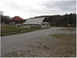 2
2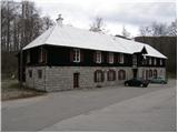 3
3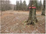 4
4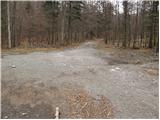 5
5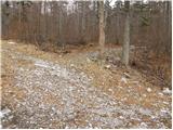 6
6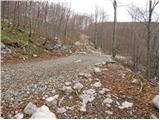 7
7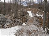 8
8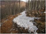 9
9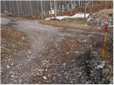 10
10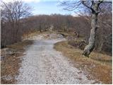 11
11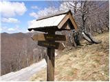 12
12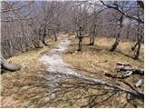 13
13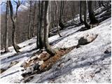 14
14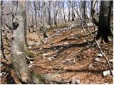 15
15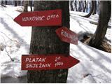 16
16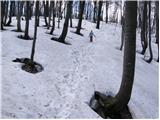 17
17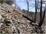 18
18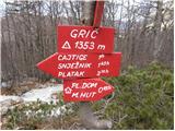 19
19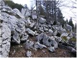 20
20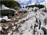 21
21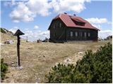 22
22
Discussion about the trail Platak - Planinarski dom na Risnjaku
|
| rokeg9. 07. 2023 21:56:45 |
Koča je zaprta in propada. Morda, kdo ve zakaj?
Sicer pa je pot solidno markirana, le nekaj tabel je polomljenih ali pa so na tleh.
|
|
|
|
| bbugari19. 07. 2023 23:47:35 |
Ni interesa za delo v koči. Novo, novo, novo vreme... 
|
|
|