Planinski dom Vrhe - Javor
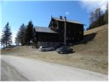
Starting point: Planinski dom Vrhe (887 m)
| Lat/Lon: | 46,1899°N 15,0052°E |
| |
Time of walking: 35 min
Difficulty: easy unmarked way
Altitude difference: 245 m
Altitude difference po putu: 250 m
Map: Posavsko hribovje - zahodni del 1:50.000
Recommended equipment (summer):
Recommended equipment (winter): ice axe, crampons
Views: 5.450
 | 1 person likes this post |
Access to the starting point:
a) From Trbovlje or Zagorje ob Savi, drive to Čebine and from there continue to Sveta planina. Above Čebine, the road turns sharp right towards Sveta planina / Partizanski vrh, and we continue straight in the direction of the Mountain Home Vrhe. The road then leads us to a crossroads by the NOB monument, and we continue straight here and then park at a suitable place a little higher up by the church of St. Lenart, or a little higher still in the parking lot at Planinski dom Vrhe.
b) From the motorway Ljubljana - Maribor, take the Šempeter exit and continue to Prebold and later Trbovlje. Follow the serpentine road to the Podmeja Pass. From the pass, the road starts to descend towards Trbovlje and we follow it to a sharp left turn. Here we continue to the right and follow the road towards the village Vrhe. Park in the parking lot next to the Mountain House Vrhe, or at the nearby St Lenart Church.
Path description:
From the mountain home we first walk to the nearby St Lenart's Church and then a little further to the crossroads by the NOB monument. Here we continue along the right-hand road in the direction of Sveta planina / Partizanski vrh, and we walk along the road for only a few more 10 steps, and then on the left-hand side we see the unmarked cart track, which first climbs parallel to the road, then turns to the left and after a few minutes of further walking leads us out of the woods. Cart track then climbs across the former ski slope, and we immediately leave it and continue climbing right along the edge of the forest, relatively steeply upwards. At a higher level, another cart track is reached, which is followed right into the forest. Cart track soon turns left and quickly returns to the area where the ski slope used to be. Through the scrub you climb to the top of the old ski lift, where you get one last view, and the path then passes into the forest, through which you follow a steep path to the top.

Pictures:
 1
1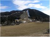 2
2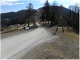 3
3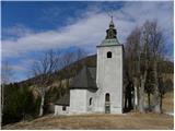 4
4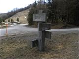 5
5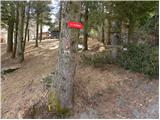 6
6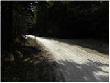 7
7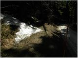 8
8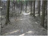 9
9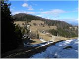 10
10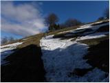 11
11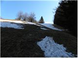 12
12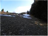 13
13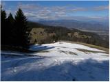 14
14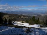 15
15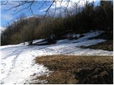 16
16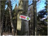 17
17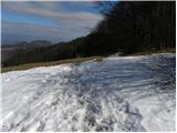 18
18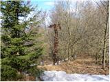 19
19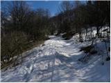 20
20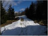 21
21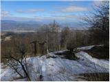 22
22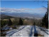 23
23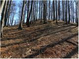 24
24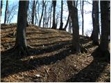 25
25 26
26
Discussion about the trail Planinski dom Vrhe - Javor