Planina Spodnji Kozjek - Jerebikovec
Starting point: Planina Spodnji Kozjek (1082 m)
| Lat/Lon: | 46,4254°N 14,0023°E |
| |
Time of walking: 2 h 30 min
Difficulty: easy unmarked way
Altitude difference: 511 m
Altitude difference po putu: 525 m
Map: TNP 1:50.000
Recommended equipment (summer):
Recommended equipment (winter): ice axe, crampons
Views: 1.570
 | 1 person likes this post |
Access to the starting point:
a) Leave the Gorenjska motorway at exit Jesenice East (Lipce), then follow signs for Spodnje Gorje and Pokljuka. Continue through Kočna, then arrive at Spodnje Gorje, where you first cross the Rečica stream, and a little beyond the stream, turn right towards Zgornje Laze. Continue along the narrower road that leads through the settlement, and when the settlement Zgornje Laze ends, take the second turning to the right in a small valley where the road turns semicircularly to the left and where there are several crossroads. Further on, start climbing towards the Mežakle plateau, and when the road levels off, pass mountain pasture Strmole and mountain pasture Ravne. At the end of mountain pasture Ravne, continue straight on (to the left, the home of the University of Ljubljana) and start climbing again more visibly. Once on the north-western slopes of Oblek Peak, cart track branches off to the left, leading to the nearby mountain pasture Spodnji Kozjek, and we continue along the wider macadam road to the next junction, at which there is a marked parking area, and where we park in a suitable place by the junction.
b) Take the Bled, and then continue driving towards Pokljuka. Towards the end of the settlement Cirque, leave the main road towards Pokljuka and drive downhill to the right in the direction of Radovna, Krma and Mojstrana. After a short descent, cross the river Radovna over a bridge and turn right after the bridge in the direction of Perniki and Zgornje Laz. Continue through Spodnje Laze, and when the settlement ends, the road turns right in a small valley and where there are several crossroads, take the second left turn. Further on, start climbing towards the Mežakle plateau, and when the road levels off, pass mountain pasture Strmole and mountain pasture Ravne. At the end of mountain pasture Ravne, continue straight on (to the left, the home of the University of Ljubljana) and start climbing again more visibly. Once on the north-western slopes of Oblek Peak, cart track branches off to the left, leading to the nearby mountain pasture Spodnji Kozjek, and we continue along the wider macadam road to the next junction, at which there is a marked parking area, and where we park in a suitable place by the junction.
Path description:
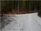
From the starting point, continue along the road on the left (slightly to the right mountain pasture Zgornji Kozjek), which takes you past a green ramp and then climbs crosswise to the left. After a good 10 minutes' walk, you reach a small crossroads, from which you continue along the upper, slightly right-hand road, which you then follow, with occasional views, to its end.
From the end of the road, which offers a really nice view of the highest peaks of Julian Alps, continue to the right and continue walking along a fainter path which, after a few minutes, leads to cart track, which branches off from the road slightly to the right about a minute before the end of the road. The way forward is along the old cart track, over which there are several fallen trees. Higher up, cart track is laid down and then, above Požarov rovt (Požarov rovt is the part of the forest where cart track was laid down), it joins the forest road, which you follow upwards. Continue walking along the forest road, which makes some serpentines and still offers occasional views. When the road starts to descend towards mountain pasture Mežakla at a height of about 1450 m, we leave it and continue to the left where the arrow on the TNP pole also points.
After a few minutes of ascent along the cart track, when it ends, we continue along the worse, but traceable path, which quickly leads us to the foothill of Jerebikovec. From the summit there is an easy descent, and then along the north-east ridge we reach the top of Jerebikovac, where there is a registration box with a registration book and a stamp, and from where we have a beautiful view of Julian Alps and Karawanks, and in good visibility the view extends all the way to the Carnian and Gailtaler Alps and the High Tauern.
Description and pictures refer to 2019 (December).

Pictures:
 1
1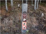 2
2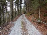 3
3 4
4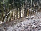 5
5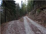 6
6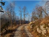 7
7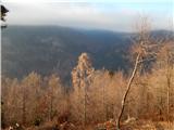 8
8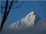 9
9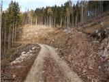 10
10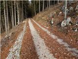 11
11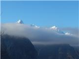 12
12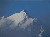 13
13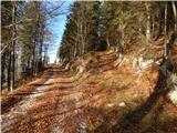 14
14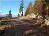 15
15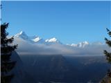 16
16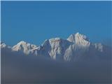 17
17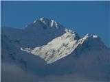 18
18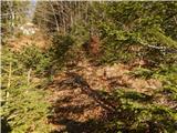 19
19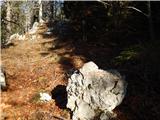 20
20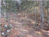 21
21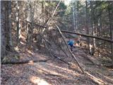 22
22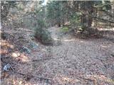 23
23 24
24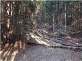 25
25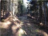 26
26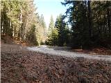 27
27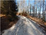 28
28 29
29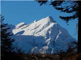 30
30 31
31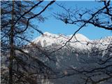 32
32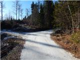 33
33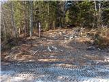 34
34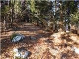 35
35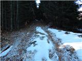 36
36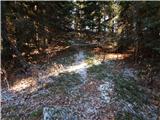 37
37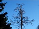 38
38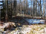 39
39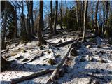 40
40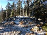 41
41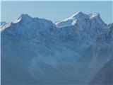 42
42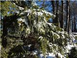 43
43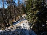 44
44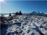 45
45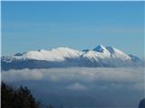 46
46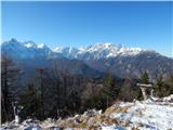 47
47
Discussion about the trail Planina Spodnji Kozjek - Jerebikovec