Planina Smrečica (Poglajnov rovt) - Belska planina
Starting point: Planina Smrečica (Poglajnov rovt) (1075 m)
| Lat/Lon: | 46,3616°N 14,0199°E |
| |
Time of walking: 1 h 55 min
Difficulty: easy unmarked way
Altitude difference: 162 m
Altitude difference po putu: 235 m
Map: TNP 1:50.000
Recommended equipment (summer):
Recommended equipment (winter):
Views: 946
 | 2 people like this post |
Access to the starting point:
From Bled or Jesenice, drive to Zatrnik, then continue to Pokljuka. After Zatrnik, take the first carriageway to the left (i. e. at the road sign between 5. 5 km and 6. 0 km), then drive for another 100 m to the first major right turn. After the bend, a road branches off to the left, going down to mountain pasture Smrečica, and we park just a little further on in a convenient roadside parking space.
Path description:
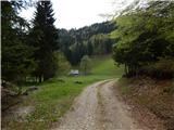
From the starting point, continue along the macadam road, which climbs gently, but after a long left turn, where you also leave the route of the former Zatrnik ski slope, the road stops climbing and occasionally drops a little further. Walking along the road, we then cross the route of the former lift Berjanca and a little further on the Berjanca ski slope, and a little further on we get some views towards the Karavanke Mountains. After the transitional part of the view, we reach the marked trail Bled (Zaka) - Pokljuka, which we quickly leave as we continue along the dirt road.
From the crossroads onwards, the road climbs mostly zložno to occasionally moderately, and after a while we are joined on the left by the marked path from Bohinjska Bela - the path over Slamnike. Here, a few steps further on, just before the NOB memorial, in the route straight ahead or slightly to the left, the path branches off to Turn (1249 m), a few minutes away, and we continue to the right along the marked path, which continues along the road. After a short descent, we reach the next crossroads, where a path branches off to the left to Galetovec, and we continue straight on and after a few minutes of further walking along the road we reach Belska mountain pasture.
Description and pictures refer to the situation in 2017 (May).

Pictures:
 1
1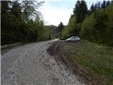 2
2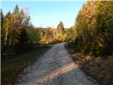 3
3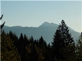 4
4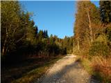 5
5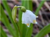 6
6 7
7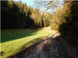 8
8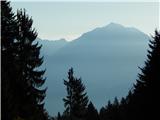 9
9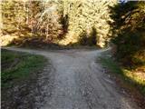 10
10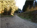 11
11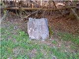 12
12 13
13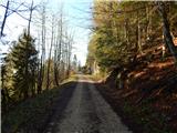 14
14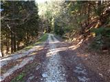 15
15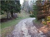 16
16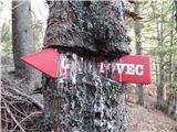 17
17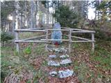 18
18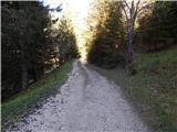 19
19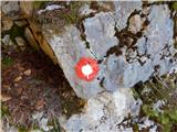 20
20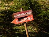 21
21 22
22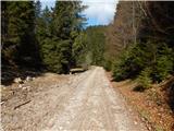 23
23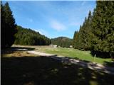 24
24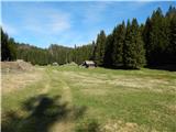 25
25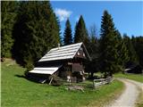 26
26
Discussion about the trail Planina Smrečica (Poglajnov rovt) - Belska planina