Passo Staulanza - Rifugio Venezia
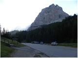
Starting point: Passo Staulanza (1766 m)
| Lat/Lon: | 46,4206°N 12,10467°E |
| |
Time of walking: 2 h 30 min
Difficulty: easy marked way
Altitude difference: 180 m
Altitude difference po putu: 300 m
Map: Tabacco 25 1:25.000
Recommended equipment (summer):
Recommended equipment (winter):
Views: 2.622
 | 2 people like this post |
Access to the starting point:
Via Border crossing Rateče, take the road to Trbiž / Tarvisio, where you take the motorway towards Udine. Leave the motorway at the exit for Tolmezzo and follow the road to the above-mentioned place. From Tolmezzo, continue in the direction of Ampezzo and the Passo della Mauria mountain pass. The road then begins to descend and leads into the Cadore valley, where you turn left towards Cortina d'Ampezzo. Follow the signs for Cortina d'Ampezzo to Venas di Cadore. Shortly before the end of the town, turn left towards Forno di Zoldo. The road then leads over the Cibiana Pass into the Val di Zoldo valley, where it continues to the right towards the Staulanza Pass. Follow the ascending road until you reach the Staulanza Pass.
Path description:
At the Passo Staulanza pass, head south-east following the signs "Rif. Venezia, Orme di Dinosauro". After a short climb through the forest, you reach a crossroads where you continue to the right, and to the left a path leads along the north side of Monte Pelmo towards the Forada notch.
The trail continues through the forest and crosses the slopes on the western side of Monte Pelma. The path ascends and descends gently, occasionally crossing boggy terrain and is often quite muddy. The path from the Pala Favera bivouac then joins from the right, and we continue to cross the slopes to the south-east. The trail then passes mainly through dwarf pines and leads to a marked crossroads.
Up to the left, the path leads under the Pelmetto summit walls, where dinosaur tracks can be seen on a large boulder, and we continue straight on, following the signs for Rifugio Venezia. A second path joins us from Pala Favera on the right, and then our path turns slowly to the left and leads us to the southern slopes below the summit of Monte Pelmo. In the final stretch towards the hut, the path leads us onto grassy slopes and we will soon see the hut in front of us. Just in front of the hut is a crossroads where the path to Monte Pena branches off to the right. From the crossroads it is only a short climb to the hut.

Pictures:
 1
1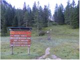 2
2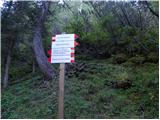 3
3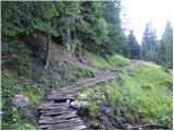 4
4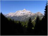 5
5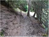 6
6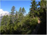 7
7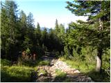 8
8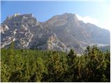 9
9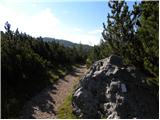 10
10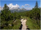 11
11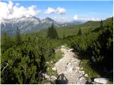 12
12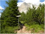 13
13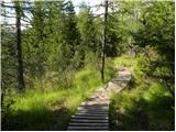 14
14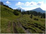 15
15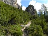 16
16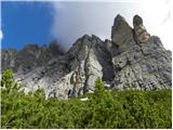 17
17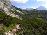 18
18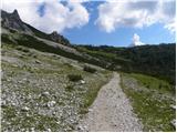 19
19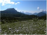 20
20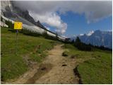 21
21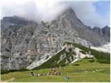 22
22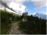 23
23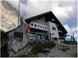 24
24 25
25 26
26 27
27
Discussion about the trail Passo Staulanza - Rifugio Venezia