Parkplatz Innerfragant - Weißseehaus
Starting point: Parkplatz Innerfragant (1230 m)
| Lat/Lon: | 46,98044°N 13,0517°E |
| |
Time of walking: 4 h
Difficulty: partly demanding marked way
Altitude difference: 1151 m
Altitude difference po putu: 1180 m
Map:
Recommended equipment (summer):
Recommended equipment (winter): ice axe, crampons
Views: 517
 | 2 people like this post |
Access to the starting point:
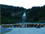
From the Karavanke Tunnel, follow the motorway towards Salzburg to the motorway junction where you turn left towards Spittal. From Spittal, drive towards Lienz. Shortly after the motorway ends, at Möllbrücke, turn right towards Mallnitz and the Großglockner Alpine road. Follow this road to Kleindorf (just after Flattach) where signs "Mölltaler Gletscher" direct you to the right on the ascending road to the lower funicular station. Follow this road all the way to the large parking lot at the bottom of the funicular.
Path description:
From the parking lot, continue along the asphalted road, which is closed to traffic. After a short climb along the road, signs direct you to the right onto the "Richard Helfer Weg" footpath. The footpath also avoids the tunnels on the road, which are forbidden to walk through.
From the crossroads, you start a slightly steeper climb through the forest on a relatively poorly beaten track. At a higher level, join the road for a short distance and then turn right again onto the footpath, which is marked with Knafeljč's markings. The path climbs mostly through the forest and crosses a few short clearings. Later on, the path leads us to slightly steeper slopes from which we occasionally get a view of the waterfalls of the Astrombach stream on the other side of the steep valley. On the shorter crossing where the slope is very steep, we also have a rope to help us. The path here is not too difficult, but you have to be careful because the bushes and tall grass can make it hard to see that the slope is very steep along the narrow path. The path then turns left from the steep slopes and starts to climb a little steeper. Following this path through the forest, you will soon reach a mountain road.
Continue right along the road, which descends gently and leads to a marked crossroads near Lake Wurtenspeicher. Bear left at cart track and after a short climb you will reach the lake. There are benches and a table near the lake.
The footpath along the lake soon ends and we turn left onto the footpath. The path continues northwards, mostly on a gentle slope above the lake, crossing a few small streams. Later, the path turns slightly to the left and climbs briefly in the keys. It then crosses a slightly steeper slope, bypassing a small boulder. A little caution is needed here. Later, the increasingly scenic route becomes less steep and runs northwards. You still have to be careful where you walk, as there are a few deep holes along the path. The path then descends a little and leads us to the vicinity of Lake Mernigsee
Here the trail turns slightly to the right and crosses a stream, then begins to climb the slope above the lake. Walk north again and soon cross the slope below the chairlift leading to the Weißseehaus hut. The path then turns left and there is a short climb up the slope to the left of the ski slope. Later the path follows the ski slope and leads to a mountain road where there is a crossroads.
To the right, slightly downhill, it is only a few tens of metres to the Mittelstation, a footpath leads straight down the ski slope to the Duisburger Hütte hut, and we turn left onto the road to the Weißseehaus hut, which can already be seen ahead. From the crossroads we climb up a scenic asphalt road with cattle grazing alongside during the summer months. The scenic road then soon leads to hut Weißseehaus
Descend along the ascent route or return to the cable car intermediate station from where you can take the funicular down to the valley.

Pictures:
 1
1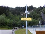 2
2 3
3 4
4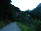 5
5 6
6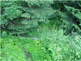 7
7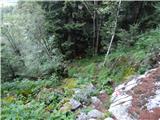 8
8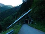 9
9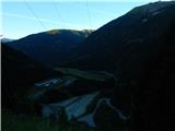 10
10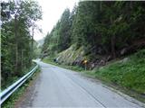 11
11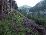 12
12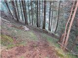 13
13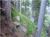 14
14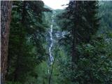 15
15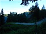 16
16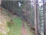 17
17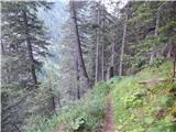 18
18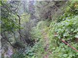 19
19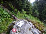 20
20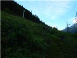 21
21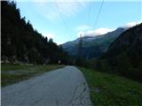 22
22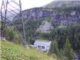 23
23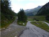 24
24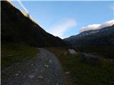 25
25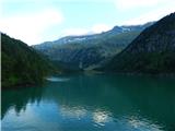 26
26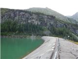 27
27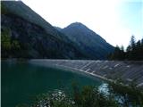 28
28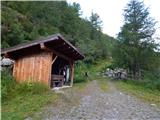 29
29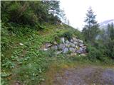 30
30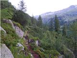 31
31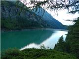 32
32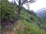 33
33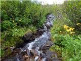 34
34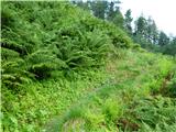 35
35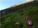 36
36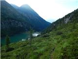 37
37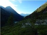 38
38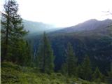 39
39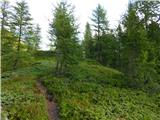 40
40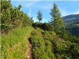 41
41 42
42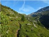 43
43 44
44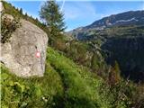 45
45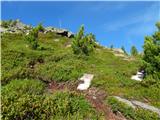 46
46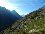 47
47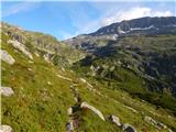 48
48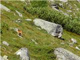 49
49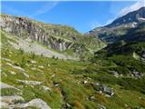 50
50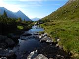 51
51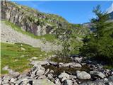 52
52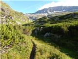 53
53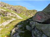 54
54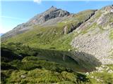 55
55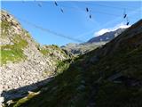 56
56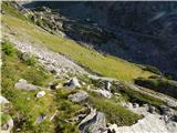 57
57 58
58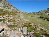 59
59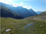 60
60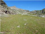 61
61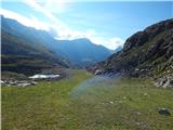 62
62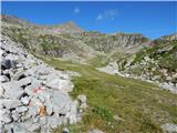 63
63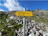 64
64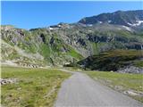 65
65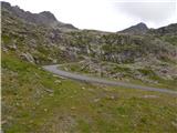 66
66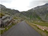 67
67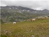 68
68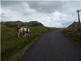 69
69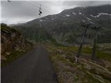 70
70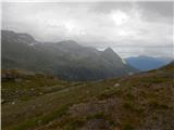 71
71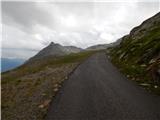 72
72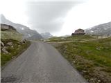 73
73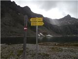 74
74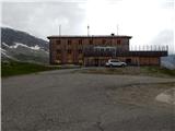 75
75
Discussion about the trail Parkplatz Innerfragant - Weißseehaus
|
| mpp4. 08. 2016 |
namig za kolesarje: uradno zaprta cesta je od spodnje postaje vlakca do koče v celoti asfaltirana in pogosti cilj kolesarjev Ne pozabit lučke za tunele in kondicijo za strmino 
|
|
|
|
| mpp4. 08. 2016 |
Za tiste z več kondicije in MTB kolesom, je vozno (slabši kolovoz po smučišču) do Eisseehuas (2795m) na zgornji postaji gondole
|
|
|