Paradohuta - Kékestető (pot rdeči križ)
Starting point: Paradohuta (355 m)
Name of path: pot rdeči križ
Time of walking: 2 h
Difficulty: easy marked way
Altitude difference: 659 m
Altitude difference po putu: 659 m
Map:
Recommended equipment (summer):
Recommended equipment (winter): crampons
Views: 271
 | 1 person likes this post |
Access to the starting point:
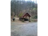
From Budapest, head east on the motorway towards Nyiregyhaza. After about 90 kilometres, we leave the motorway at the Gyoengyoes exit, Matrafured. Continue into Gyoengyoes, then at a marked crossroads continue north towards Matrafuered, and from there continue up the Matrahaza Pass and north until you reach the point of Parad. Here you will see signs for the village of Paradohuta. In Paradohuta, follow the signs for the Klarissza Csevice spring. There are about 5 parking places at the starting point.
Path description:
From the source of the Klarissza Csevice, follow the roots upwards. The path is steep at first, but soon levels off. Further on, you reach a crossroads where you go right towards Pisztrangos To.
The path is marked with a red cross.
It is a steep climb, only occasionally a little steeper, along a path which is occasionally muddier, but passes through an interesting lane mixed forest.
Walk along a fence for a while, then go slightly right to reach a narrow tarmac road. Continue left (poorly marked) a little further along the mountain path again, which becomes steeper and steeper, and when you reach the tarmac road again, follow it to the right and after a few minutes you reach Pisztrangos To. This is the place to take a break, because from here on the path becomes steeper. Here we leave the red cross markers (the red cross markers lead to Matrahaza) and follow the path marked with a blue cross.
The path becomes steeper and the ground rockier. The path ahead leads to the Gabi Hallala crossroads (whether this is really a burial site, I do not know). From here we continue onwards and the path is level for a while, after which it becomes very steep. Higher up, we reach the Sötet Lapi Nyereg pass, where we join a few more paths from the surrounding area.
Continue to the right on the steeper path and after 10 minutes you will reach the first buildings in front of the summit. A few minutes more walking and you reach the monument at the top.

Pictures:
 1
1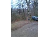 2
2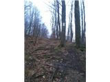 3
3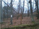 4
4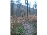 5
5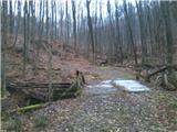 6
6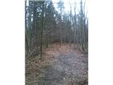 7
7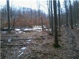 8
8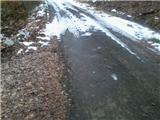 9
9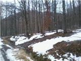 10
10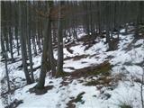 11
11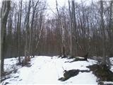 12
12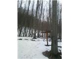 13
13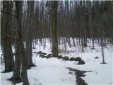 14
14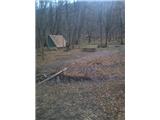 15
15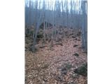 16
16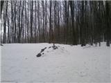 17
17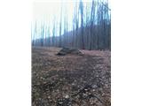 18
18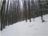 19
19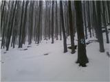 20
20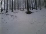 21
21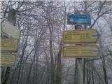 22
22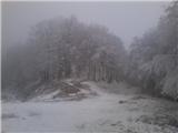 23
23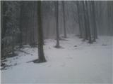 24
24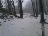 25
25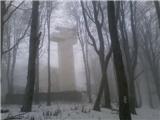 26
26 27
27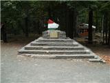 28
28
Discussion about the trail Paradohuta - Kékestető (pot rdeči križ)