Paka pri Velenju - Visoko
Starting point: Paka pri Velenju (445 m)
| Lat/Lon: | 46,3856°N 15,1609°E |
| |
Time of walking: 1 h 45 min
Difficulty: easy marked way
Altitude difference: 546 m
Altitude difference po putu: 546 m
Map: Šaleška dolina z okolico 1:50000
Recommended equipment (summer):
Recommended equipment (winter):
Views: 1.100
 | 1 person likes this post |
Access to the starting point:
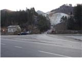
a) From the motorway Ljubljana - Maribor, take the exit Žalec and then continue in the direction of Velenje. At the main roundabout (2nd roundabout) in Velenje, under the ski jump, turn right in the direction of Slovenj Gradec. Pass through Velenje and the town of Paka at Velenje. After about 2 km after Paka pri Velenje, a sign with the inscription Paški Kozjak directs you to the right on the local road towards Kamnolom. Turn onto it and park in front of or behind the bridge over the river Paka.
b) From Koroška, take Slovenj Gradec towards Velenje. Between the villages Gornji Dolič and Paka pri Velenju, a sign marked Paški Kozjak directs you left on the local road towards Kamnolom. Turn there and park in front of or behind the bridge over the Pako River.
Path description:
From the parking lot near the bridge over the Pako River, continue along the road past the quarry. Above the quarry, you will reach the first homesteads. Then leave the road and turn left onto the mountain path.
First go down the steps, then along the steep meadow. Come back to the road and after 10 m leave it again and turn left into the forest. The path takes you along a steep rocky path covered with pine trees. Cross a forest clearing and come back to the road.
From here, follow the road to a crossroads with direction signs. At the crossroads turn left towards the Visoko plateau. After 15 minutes, Cart track will take you to the top of the grassy plateau of Visoko.
Pictures:
 1
1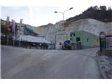 2
2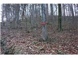 3
3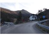 4
4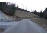 5
5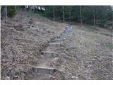 6
6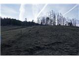 7
7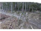 8
8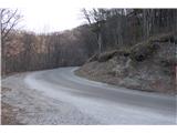 9
9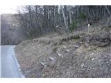 10
10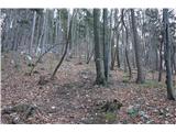 11
11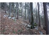 12
12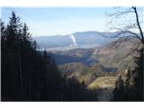 13
13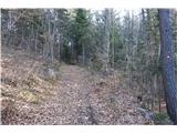 14
14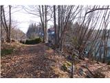 15
15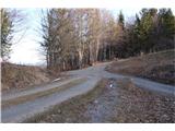 16
16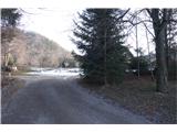 17
17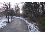 18
18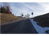 19
19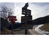 20
20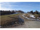 21
21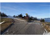 22
22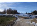 23
23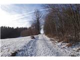 24
24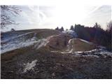 25
25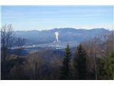 26
26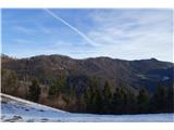 27
27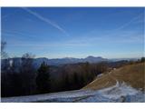 28
28 29
29 30
30 31
31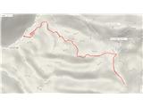 32
32 33
33
Discussion about the trail Paka pri Velenju - Visoko