Starting point: Oblakov Vrh (721 m)
| Lat/Lon: | 46,0615°N 13,8897°E |
| |
Time of walking: 1 h 30 min
Difficulty: easy unmarked way
Altitude difference: 427 m
Altitude difference po putu: 435 m
Map: Škofjeloško in Cerkljansko hribovje 1:50.000
Recommended equipment (summer):
Recommended equipment (winter): ice axe, crampons
Views: 7.855
 | 1 person likes this post |
Access to the starting point:
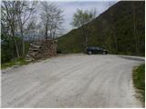
a) First drive to Idrija, then continue to Tolmin. When you arrive in Spodnja Idrija, leave the main road and continue driving to the left in the direction of Oblakovy Vrho and Spodnje, Srednje and Gorenje Kanomlje. Continue along a narrower and winding road, which you follow to the Oblakov Vrh pass. Park a few 10 m further on at a suitable place at the next crossroads. From the crossroads in Spodnja Idrija to Oblakov Vrch is about 14 km drive.
b) Take Most na Soči or Podbrdo to Bača pri Modreju, then continue driving towards Idrija. When you reach Dolenja Trebuša, leave the main road and continue driving to the right in the direction of Čepovan. Immediately after crossing the Hotenja stream, turn left onto the road towards Oblakovy Vrho. The asphalt soon ends and we follow the macadam road to the Oblakov Vrh pass. Park a few 10 m before the pass in a suitable place at a nearby crossroads. From the Podkorito Inn in Dolenja Trebuša to the starting point at Oblakov Vrch is about 9 km drive.
Path description:
From Oblak Hill, follow the macadam road as it continues south-westwards. The road, which climbs moderately, first crosses the slopes to the right and then climbs in several long serpentines to the north-western edge of the Vojskar plateau. Here, a fine view of part of the ridge of the Lower Bohinj Mountains, Kojca, Porezen and the surrounding hills opens up, and the road splits into two parts. Take the upper left road, which starts to climb steeply, and we follow it almost to the "abandoned" Medved homestead. Just before the homestead, we join the marked path from Gačnik, and the signs for Hudournik direct us sharp left onto the marked footpath, which climbs moderately through the lane of the forest. The forest quickly thins out, and the path, which continues over a grassy slope, quickly leads to a table with a bench on Hudournik.
The stamp and the registration box are located a few steps further on a rocky lookout pier, which offers a nice view of the north side.

Pictures:
 1
1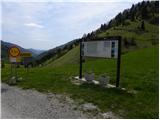 2
2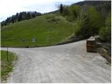 3
3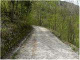 4
4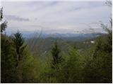 5
5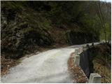 6
6 7
7 8
8 9
9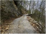 10
10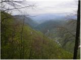 11
11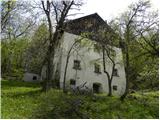 12
12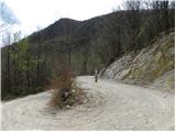 13
13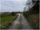 14
14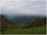 15
15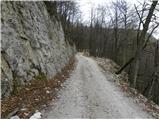 16
16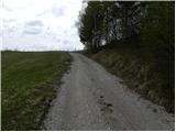 17
17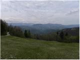 18
18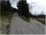 19
19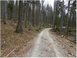 20
20 21
21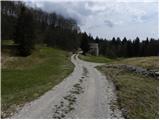 22
22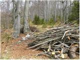 23
23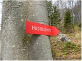 24
24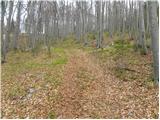 25
25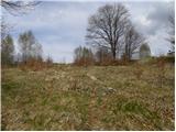 26
26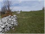 27
27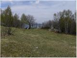 28
28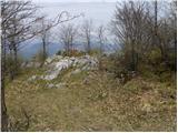 29
29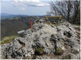 30
30 31
31
Discussion about the trail Oblakov Vrh - Hudournik
|
| tulipan31. 08. 2014 |
Za hišo na sliki 12 zavijemo levo navzgor in skrajšamo pot za cel km.
|
|
|