Mužac / Moggio di Sopra - Monticello (path 421 via Stavolo Borghin, Creste delle Betulle)
Starting point: Mužac / Moggio di Sopra (373 m)
Name of path: path 421 via Stavolo Borghin, Creste delle Betulle
Time of walking: 3 h 15 min
Difficulty: partly demanding marked way
Altitude difference: 989 m
Altitude difference po putu: 989 m
Map:
Recommended equipment (summer):
Recommended equipment (winter):
Views: 1.000
 | 1 person likes this post |
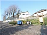
Access to the starting point:
a) From Kranjska Gora, past Trbiz / Tarvisio, and along the old road towards Udine until the turn-off for Moggio, where you turn right into the town, then left into the upper part, then right again, and then follow the main road until the junction of Via Abbazia and Via Cjavecic, where you park in the marked parking lot.
b) From Nova Gorica or Sezana take the Italian motorway to Palmanova, here take the route Trbiz / Tarvisio to the exit Carnia, then follow the old main road towards Trbiz to the exit for Moggio, then follow description a.
Path description:
From the parking lot, follow Via Cjavecic to the left turn, then follow the paved road straight ahead, and after 20 minutes you will reach the first signpost indicating how much further to walk. Continue along the paved cart track which forks higher up, we continue left and higher up at a fork where it is about 45 minutes walk to the left and immediately right onto cart track. The latter runs first in curves around a fenced pasture, and higher up straight through a shady pine forest for quite some time, higher up cart track turns into a path and comes to a mixed forest and the path climbs again, whereupon a signpost directs us to the left and we find ourselves in front of the abandoned Borghin Stavolo (approx. 1 hour to get here from the crucifix).
The trail starts to wind and climb steeply again, all through the forest, but higher up it starts to turn left and crosses some ravines which would be dangerous to slip in case of mud or wet snow. Higher up, we reach cart track, where the other path from the 420/421 valley joins, and we turn right towards the summit (1 hour from Borghino to here).
In 5 minutes we are back at the fork where cart track starts to narrow. We choose the right path (Creste delle Betulle), which first rises steeply across the meadow and through the trees (at least half of it without) to the summit ridge of Monticello and in a further 15 minutes (about half an hour from the junction below) leads mostly downhill, but occasionally with some climbing and a small intermediate descent to the summit of Monticello.

Pictures:
 1
1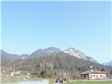 2
2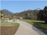 3
3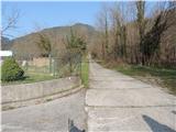 4
4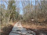 5
5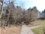 6
6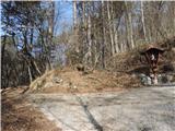 7
7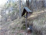 8
8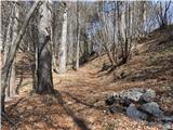 9
9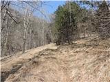 10
10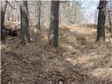 11
11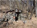 12
12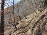 13
13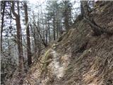 14
14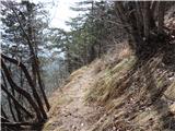 15
15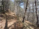 16
16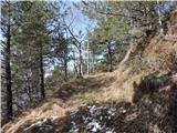 17
17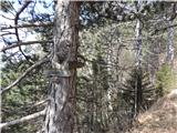 18
18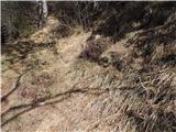 19
19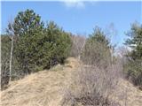 20
20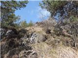 21
21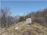 22
22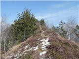 23
23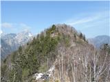 24
24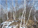 25
25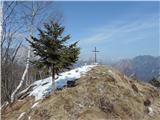 26
26
Discussion about the trail Mužac / Moggio di Sopra - Monticello (path 421 via Stavolo Borghin, Creste delle Betulle)