Mežica - Uršlja gora (Plešivec) (via Sveti Lenart and Koča na Naravskih ledinah)
Starting point: Mežica (495 m)
| Lat/Lon: | 46,5184°N 14,8555°E |
| |
Name of path: via Sveti Lenart and Koča na Naravskih ledinah
Time of walking: 5 h 30 min
Difficulty: easy marked way
Altitude difference: 1204 m
Altitude difference po putu: 1450 m
Map: Koroška 1:50.000
Recommended equipment (summer):
Recommended equipment (winter): ice axe, crampons
Views: 1.905
 | 1 person likes this post |
Access to the starting point:
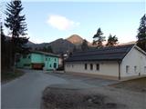
a) From Raven na Koroškem or via Border crossing Holmec drive to Mežica, where at the beginning of the village turn left towards the Tuš store, the sports park and the music hall. After the Tuš shop and before the pensioners' home, turn left towards Leše. After the crossroads, cross the Meža River, and after the bridge, you will see the first red mountain signs pointing to the right. Just a little further on, we reach the next crossroads, where the signs for Uršlja gora point left, and we turn right, where we park by the sports ground and the music hall.
b) From Črna na Koroškem, drive to Mežica, where you turn right in the centre of the village towards the sports park and left at the next junction. Drive through the village for a while and then turn right after the pensioners' home in the direction of Leš. After the crossroads, cross the Meža River, and after the bridge, you will see the first red mountain signs pointing to the right. Just a little further on, we reach the next crossroads, where the signs for Uršlja gora point to the left, and we turn right, where we park by the sports ground and the music hall.
Path description:
From the starting point, return to the marked crossroads, then continue along the ascending road in the direction of Naravske ledin, Uršlja gora and KPP (Koroška planinska pot). At the Peršak carpenter's, continue straight onto the macadam road, which takes you into the forest and turns into a mountain trail that continues along the torrent. A little further on the right we see a wooden bridge, and we continue straight ahead and stay on the right bank of the torrent for a while. Cross the torrent for a few minutes, then follow the markings carefully at successive crossroads. Higher up, at a crossroads, we reach an asphalt road, and we continue along the left-hand road, along which the KPP markings continue. Walk along the road for a few minutes, from which you will have a nice view towards Pec, and then continue right into the forest, where you will follow the cart track. Cart track leads us higher out of the forest, and then through the yard of a nearby farmhouse we reach the next asphalt road, which we just cross. It then climbs through a hay meadow, and then turns slightly left into the forest. Walk through the forest for only a short time, as you quickly reach a macadam road, which you follow to the right (left Volinjak, Leše churches, Leše. . . ). The way forward takes us past the Andrej homestead, and then continues first along the west side, then along the south side of Andrej's Peak. Before the homestead Najevnik we reach a small saddle, next to which there is a chapel (at the chapel the path to Andrejev vrh branches off to the left), and we continue along the macadam road.
The road continues past the homesteads of Najevnik, Danev, Predovnik, to the homestead of Kajžar (at the homestead of Kajžar, the path branches off to the nearby church of St Lenart), which we pass on the lower right-hand side. The way forward leads along a forest road, which soon forks, and we choose the upper road (the lower one leads to the Krajnc homestead). For a few minutes we continue to climb crosswise on the slopes of Jankovec Peak (1200 m), and then we reach a small valley between this peak on the left and Kranjč Peak (1227 m) on the right.
At the beginning of the valley, a path branches off to the right to Šahman's hut, and we continue along the road on the left, which leads us out of the forest to a kind of pasture. When the path returns to the forest a little further on, we see one of the few mountain signs on the saddle between the two peaks mentioned above (the signs along the way are mainly rare, old and partly faded). Continue in the direction Uršlja gora, following the road as it starts to descend. After crossing a more distinct torrent, you reach the slopes of Stribovc Peak (1151 m), where the road splits. Continue along the right-hand road (on the left, the Macigoj "homestead" and Barbarski graben), which continues to descend, and we follow it to the "water hunger". After a small permanent spring, leave the road and continue ascending to the right on cart track in the direction of the homestead "Obretan", "Uršlja gora" and "Naravske ledin". cart track quickly splits again, and we continue from the crossroads along the upper right cart track (slightly left Suška bajta bivouac 1 minute). After a short climb, we reach the northern ridge of Suška vrh, where the path leading past Suška bajta joins us on the left, and we continue along the path which passes onto the steep slopes of Suška vrh (the area called Suška plazi), where there is a risk of avalanches and slipping in the snow. We first cross these slopes, then climb crosswise and reach higher ground on the eastern forested ridge of Suško vrh, where the path from the Dukles hunting lodge and the Great Cock's roosting site joins us from the right.
Continue straight ahead, initially slightly downhill, and then, with views reaching as far as Golica / Koralpa, reach the farmstead of Obretan (Obretanovo), where the better-marked path from Lesy joins us on the left, and where the Obretanovo camping home of the family of the Carinthian steelworkers is also located. Obretanovo is also on the left.
We continue along the road, which leads us to a marked crossroads after the gate, and we continue the other way to the right, on a path that ascends and does not descend, and we see the sign Godec next to it. The way ahead leads us without major ascents and descents, but quickly leads us to a road where the path forks, and the crossroads is not particularly marked.
Continue right along the forest road (straight on the ascending cart track Godec farm and Uršlja gora over Kozji hrbet), from which the signs for Naravske ledine soon direct us left up onto the footpath, where we then follow the markings. When walking on the cart track, which crosses the slopes, before it ends, continue right down and then cross the slopes on the mountain path. There is a short crossing of steeper slopes, and then descend the log steps back to the forest road (you can also walk on the forest road up to this point). The road, from which we get a temporary view, is soon left again and we continue left on the path, which "cuts" a slightly longer bend in the road over a small hill. Just before we return to the road, which we continue to cross, we are joined on the left by the marked trail from Raven na Koroškem (the trail past Prežihove bajte). On the other side of the road, we continue through the forest for a short time, and then the trail leads us along the lower part of the meadow, where we join the trail from Žerjav.
From the crossroads, continue along the right-hand edge of the meadow, and after 5 minutes of moderate ascent, walk to the Cottage on the Naravski Lediny.
At the cottage, step onto the road, walk a few steps, and then the signs for Uršlja gora lead you right onto a meadow, over which you climb moderately. At the upper edge of the meadow, cross the road leading from Naravski Lediny towards Križan and the top of Uršlja gora and start climbing through the forest on foot. After a few minutes of cross-climbing, the path flattens out and gets quite close to the road. At the point where we get fully close to the road there are usually a few parked cars in good weather, but we continue to the left along the cart track, which leads us just a little further out of the woods to a slightly larger meadow. Across the meadow, follow the waymarked path, which takes us higher into the forest, where we continue our ascent along a wide path. From the path, which climbs transversely, we get a transient view towards Pec, and then a relatively new or freshly graded logging trail (May 2014) joins us from the left. Following the relatively wide logging trail, we climb up to a nearby holiday home, where a waymarked path over Kozji hrbet joins us from the left.
Continue straight up the wide and well-trodden path, which opens up some more views a little higher up, and then the path gradually lays down and leads us into a less dense forest. At the part where the forest thins out, we come to a small crossroads where we take the left, slightly steeper path leading to the top of Uršlja gora (the right path bypasses the top and leads directly to the Church of St Ursula and the Home on Uršlji Gora). There is a short climb through sparse woods, and then the forest finally ends and, with beautiful views, we quickly reach the cross at the top of Plešivec or Uršlje Gora. From the top, you can walk another 5 minutes to the nearby St Ursula Church and the mountain home.
Mežica - Koča na Naravskih ledinah 3:45, Koča na Naravskih ledinah - Uršlja gora 1:45.

Pictures:
 1
1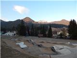 2
2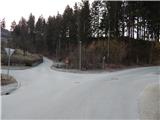 3
3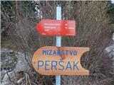 4
4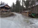 5
5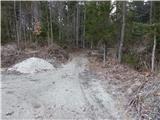 6
6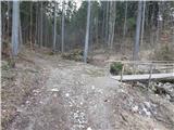 7
7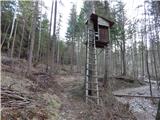 8
8 9
9 10
10 11
11 12
12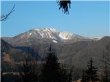 13
13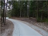 14
14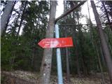 15
15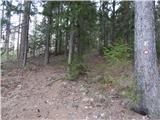 16
16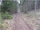 17
17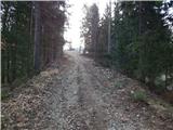 18
18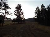 19
19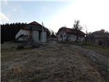 20
20 21
21 22
22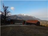 23
23 24
24 25
25 26
26 27
27 28
28 29
29 30
30 31
31 32
32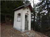 33
33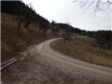 34
34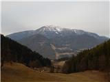 35
35 36
36 37
37 38
38 39
39 40
40 41
41 42
42 43
43 44
44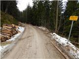 45
45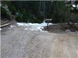 46
46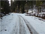 47
47 48
48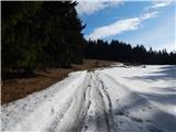 49
49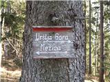 50
50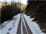 51
51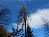 52
52 53
53 54
54 55
55 56
56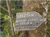 57
57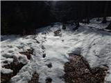 58
58 59
59 60
60 61
61 62
62 63
63 64
64 65
65 66
66 67
67 68
68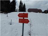 69
69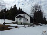 70
70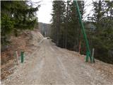 71
71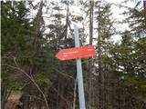 72
72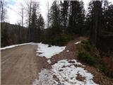 73
73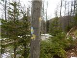 74
74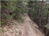 75
75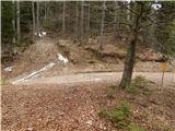 76
76 77
77 78
78 79
79 80
80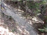 81
81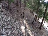 82
82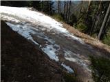 83
83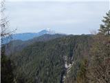 84
84 85
85 86
86 87
87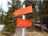 88
88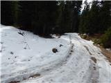 89
89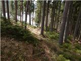 90
90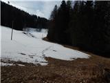 91
91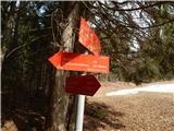 92
92 93
93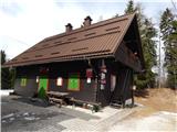 94
94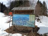 95
95 96
96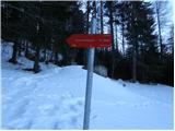 97
97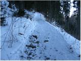 98
98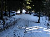 99
99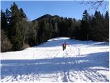 100
100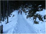 101
101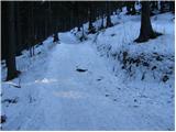 102
102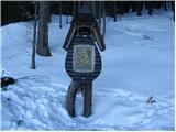 103
103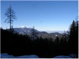 104
104 105
105 106
106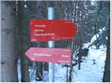 107
107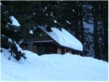 108
108 109
109 110
110 111
111 112
112 113
113 114
114 115
115 116
116 117
117
Discussion about the trail Mežica - Uršlja gora (Plešivec) (via Sveti Lenart and Koča na Naravskih ledinah)