Mala Goričica - Agrotourism Obolno (by road)
Starting point: Mala Goričica (587 m)
| Lat/Lon: | 45,9884°N 14,8036°E |
| |
Name of path: by road
Time of walking: 1 h 10 min
Difficulty: easy marked way
Altitude difference: 135 m
Altitude difference po putu: 200 m
Map:
Recommended equipment (summer):
Recommended equipment (winter):
Views: 874
 | 1 person likes this post |
Access to the starting point:
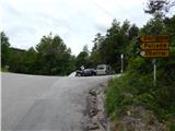
From the Ljubljana - Novo Mesto motorway, take the Ivančna Gorica exit and then continue towards Stična. After Stična, the road leads through Mekinje above Stična to Metnaj. At several crossroads follow the signs for Obolno, and we follow the asphalt road to a small pass, where a path branches off to the right to a nearby hunting lodge, the road continues straight ahead to the settlement Debeče, and to the left the road leads to the settlements of Goričica, Poljane and Obolno. Park in a suitable place at the crossroads.
Path description:
From the starting point continue along the ascending road in the direction of Goričice, Poljan and Obolno. After a short steep climb, the road is laid and leads us to a scenic hayfield, from where we have a beautiful view to the south. Here the road turns slightly to the right and leads us past a few houses. Behind the houses, at a small crossroads, we continue to the right, following the road, which begins to descend gently a little further on. After a short descent, the road branches off to the left towards Poljane, and we continue straight on in the direction of Obolno. A little further on, we reach the next crossroads, where a marked footpath to Obolno branches off to the left, and we continue along the road, which stops descending at a small quarry. We continue along the asphalt road, which gradually leads us out of the woods, where we see a small garden on the right next to a residential house. There is a short, slightly steeper climb and the road leads us to a small preval, where there is also a crossroads.
Continue left in the direction Obolno and first climb relatively steeply through the lane of a forest. The forest soon ends, and we pass a few houses with nice views, and quickly reach the Obolno Agritourism Centre.
Description and pictures refer to the situation in 2015 (May).

Pictures:
 1
1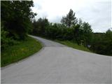 2
2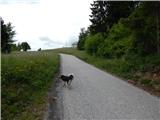 3
3 4
4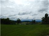 5
5 6
6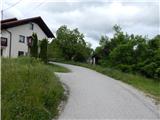 7
7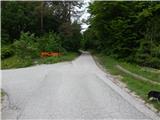 8
8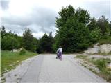 9
9 10
10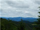 11
11 12
12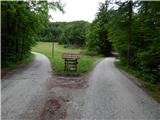 13
13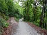 14
14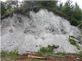 15
15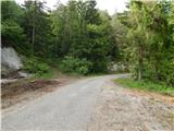 16
16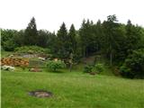 17
17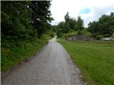 18
18 19
19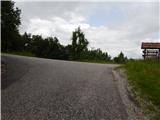 20
20 21
21 22
22 23
23 24
24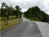 25
25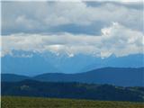 26
26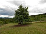 27
27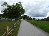 28
28 29
29
Discussion about the trail Mala Goričica - Agrotourism Obolno (by road)