Lom pod Storžičem - Tolsti vrh
Starting point: Lom pod Storžičem (696 m)
| Lat/Lon: | 46,3668°N 14,3321°E |
| |
Time of walking: 3 h
Difficulty: partly demanding unmarked way, easy marked way
Altitude difference: 1019 m
Altitude difference po putu: 1060 m
Map: Karavanke - osrednji del 1:50.000
Recommended equipment (summer):
Recommended equipment (winter): ice axe, crampons
Views: 3.831
 | 1 person likes this post |
Access to the starting point:
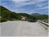
From the Ljubljana - Jesenice motorway, take the Ljubelj exit (Tržič) and then continue to Ljubelj. Just before the petrol station in Bistrica pri Tržiču, leave the main road and turn right towards Tržiča. Continue through Tržič in the direction of Dolžanove gorge, then at the end of the town turn right towards Loma pod Storžič. When you arrive in Lom pod Storžičem, park in the small parking lot next to the Church of St Catherine of Alexandria.
Path description:
From the church, continue along the road, then after a few 10 m down to the right, onto the road, which quickly descends to the yard of a nearby residential house, where you almost imperceptibly cross the Lomščica stream. On the other side of the brook, follow the macadam road, which turns into cart track at the nearby football field, which climbs over a meadow with a view. When you reach the edge of the wood, cart track turns left and splits in two just a few metres further on. Take the right-hand, rather steep cart track, which ascends to a mighty torrential gully. At the torrent graben, continue along the right-hand cart track, which descends in a few steps to a second, less distinct torrent. At the second torrent, continue straight into the woods, where you will see a less well-trodden path. The path, which has some unofficial markings (red lines, red dots, etc. ), first ascends cross-country to the right and then passes over an indistinct ridge. Climb steeply along the ridge for a while, then descend for a short distance and the path, which is harder to follow, leads to steeper and steeper slopes. The path, which is less visible but can be followed with some effort, continues on steep slopes which are dangerous to slip on in several places. The path, covered with leaves and in some places damp, soon becomes a little more level and leads to the edge of a side ridge. If you step on the edge here, you will have a beautiful view of the valley and the surrounding mountains. Continue along the path, which climbs slightly to the left and brings us to the lower part of the nearby valley. Here the path turns to the right and begins to climb again over steeper slopes. Higher up, the path leads to a small ridge, where it gradually flattens out. Grebenc is soon abandoned as the less visible path turns left onto the slopes, where it crosses the slopes to the left. After a short crossing, emerge from the woods onto the edge of a hayfield, where you see a hunting observation post and a dilapidated wooden hut.
Here the track disappears and we continue right through the forest, through which we start to climb steeply. A few minutes of climbing on a kind of trackless path follows, and the "path" leads us to the main ridge of Kriška Gora. Here we continue to the left and, enjoying the increasingly beautiful views, we walk to the nearby Koča na Kriški gori. From the hut on Kriški gori, continue along the marked trail towards Tolste vrh. Just a few metres after the hut, the trail turns slightly to the left (slightly to the right, Gozd) and begins to climb gently over a grassy slope. After three minutes of walking, the path to Grahovše branches off almost imperceptibly to the left, and we continue along the well-trodden mountain path, which continues along the main ridge of Kriška Gora. The path continues along the ridge, retreating to the right side a few times, and the scenic route leads us mostly over grassy slopes. A little further on, the path returns to the ridge, which is reached just at a distinct notch, where the path to Grahovše (possible descent on scree) branches off to the left.
The path continues over a pasture fence and then passes Vrata (1591 m) on the right. Higher up, the path returns to the ridge and climbs gently for a while. After a few minutes of crossing, you reach a place where the path starts to climb steeply towards the summit of Tolstego vrh. From the summit, we have a beautiful view on all sides, and the path leads us on along a narrower ridge for a short time. There is some downhill through the forest, and then the path starts to climb again. Higher up, the forest thins out, and the increasingly scenic route leads us to Tolsti vrh.

Pictures:
 1
1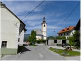 2
2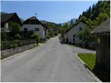 3
3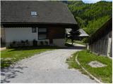 4
4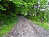 5
5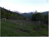 6
6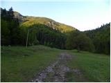 7
7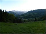 8
8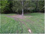 9
9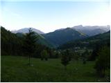 10
10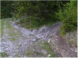 11
11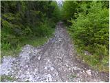 12
12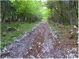 13
13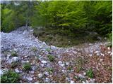 14
14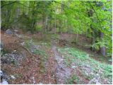 15
15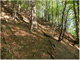 16
16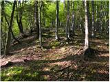 17
17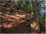 18
18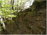 19
19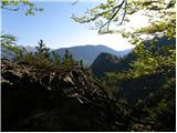 20
20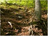 21
21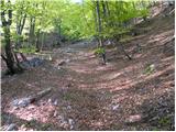 22
22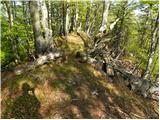 23
23 24
24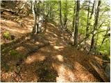 25
25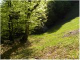 26
26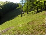 27
27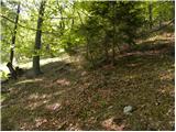 28
28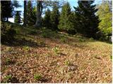 29
29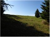 30
30 31
31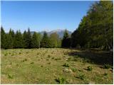 32
32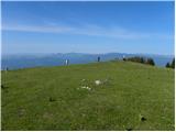 33
33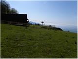 34
34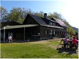 35
35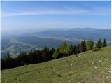 36
36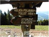 37
37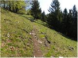 38
38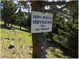 39
39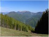 40
40 41
41 42
42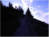 43
43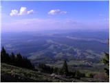 44
44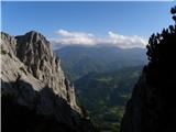 45
45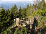 46
46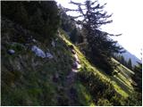 47
47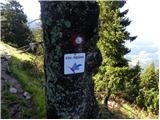 48
48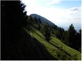 49
49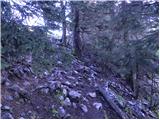 50
50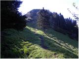 51
51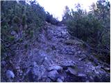 52
52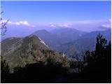 53
53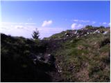 54
54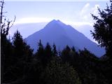 55
55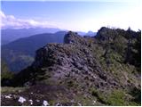 56
56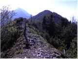 57
57 58
58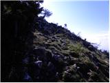 59
59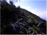 60
60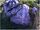 61
61 62
62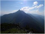 63
63
Discussion about the trail Lom pod Storžičem - Tolsti vrh