Starting point: Lokvica (310 m)
| Lat/Lon: | 45,8695°N 13,6155°E |
| |
Time of walking: 1 h 55 min
Difficulty: easy marked way
Altitude difference: 139 m
Altitude difference po putu: 350 m
Map: Goriška 1:50.000
Recommended equipment (summer):
Recommended equipment (winter):
Views: 3.492
 | 1 person likes this post |
Access to the starting point:
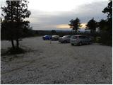
Take the motorway through the Vipava Valley to the border crossing Vrtojba, then at the large roundabout on the Italian side of the border continue towards the village Miren (you can also reach Miren by taking the regional road from Šempeter pri Gorici towards Dornberk. In this case, at Volčja draga, turn right, or left if you have come from Dornberk. From the village Miren continue driving towards Opatje Selo. After a few serpentines, the signs for Cerje direct you to the left on a macadam road, which you then follow to a parking area located just a few minutes below the Veliko Cerje monument.
Path description:
From the parking lot, continue along the macadam road, closed to traffic, which takes 5 minutes on foot to the Veliko Cerje monument.
From the monument, turn right along the initially wide path towards Fajti hrib. The path continues, initially gently descending, then climbing steeply over slopes that are initially quite scenic. The path then passes into a mostly pine forest, where it continues with some short ascents and descents. After a while, the forest road is crossed and the ascent continues along a narrower mountain path surrounded in several parts by thorns. The forest thins out higher up and the moderately steep path leads to Fajti hrib, where a small information board commemorates WWI.
From Fajti hrib we descend through a young pine forest (here we still have nice views) to the saddle between the aforementioned peak and Veliki vrh. At the saddle, cross the broad cart track, then start climbing to the 463 m high Big Peak, which is reached after a climb of about 20 minutes through forest and scrub.
From the Big Peak there is a descent of about 100 metres, ending at the next cart track. Continue along the marked path, which leads past a dilapidated bench into the dense forest, where it begins to climb moderately. After a climb of about 15 minutes, you reach Renški vrh 449 m.

Pictures:
 1
1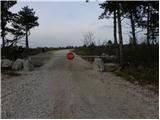 2
2 3
3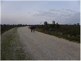 4
4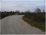 5
5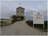 6
6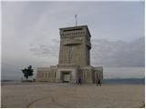 7
7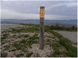 8
8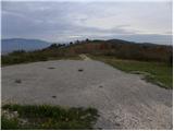 9
9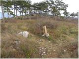 10
10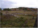 11
11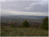 12
12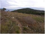 13
13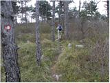 14
14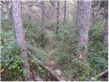 15
15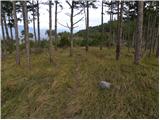 16
16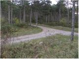 17
17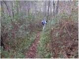 18
18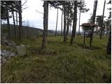 19
19 20
20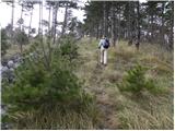 21
21 22
22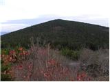 23
23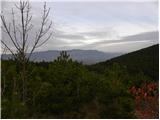 24
24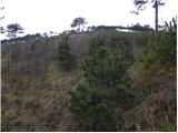 25
25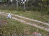 26
26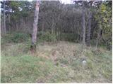 27
27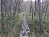 28
28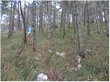 29
29 30
30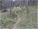 31
31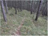 32
32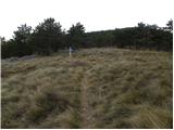 33
33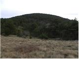 34
34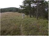 35
35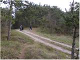 36
36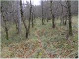 37
37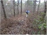 38
38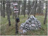 39
39
Discussion about the trail Lokvica - Renški vrh