Ljubljana (Šentvid) - Toško Čelo
Starting point: Ljubljana (Šentvid) (314 m)
| Lat/Lon: | 46,0961°N 14,4652°E |
| |
Time of walking: 1 h 45 min
Difficulty: easy marked way
Altitude difference: 276 m
Altitude difference po putu: 350 m
Map: Ljubljana - okolica 1:50.000
Recommended equipment (summer):
Recommended equipment (winter):
Views: 37.090
 | 3 people like this post |
Access to the starting point:
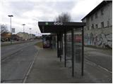
a) From the centre of Ljubljana, take the Celovška Road, and we will take it to Šentvid. Here, at the junction near the Šentviška Church, turn left towards the Road to the Hill and Šentviška Street. Just after the crossroads, you will see the signs for Toško Čelo, pointing to the right. There are no suitable parking spaces at the starting point.
b) Leave the Gorenjska motorway at the Šentvid tunnel (no exit from Ljubljana yet - March 2011), then continue towards the centre of Ljubljana. Soon you will reach a major junction where you turn right towards Road to the Hill and Šentviška Street. Just after the junction, you will see signs for Toško Čelo, pointing to the right. There are no suitable parking spaces at the starting point.
c) By LPP city bus (Nos 1,8 and 25). In this case, get off at Šentvid bus station.
Path description:
At the starting point, a sign on a concrete railing directs you right onto a climbing road, which soon turns sharp left. Just after the bend, a worse road branches off to the right, leading to Toško Čelo (there are also mountain signposts nearby). The ascent continues on the worse macadam road, which climbs above the Šentvid tunnel, which turns left just above the tunnel entrance. There are a few minutes of walking along the road, and then, at the point where the road turns right, the signs direct us straight onto the marked cart track, or footpath, which climbs parallel to the track. After a short climb, the path is laid and leads to a sign and a bench. The path continues for some time on the cart track, and we follow the signs carefully at the crossroads so as not to stray from the right path. A little higher up on the left we pass the peak Velika Trata, and the path leads us just a little further on to a small pass between the aforementioned peak and Črni vrh. At the pass, the track turns slightly to the right, and then the signs direct us to the left on a briefly steeper track. The path returns to the track higher up, but it splits into two parts. Continue along the left-hand one in the route Toško Čelo, and the path ahead leads partly along cart track and partly along the footpath. Higher up, the path climbs steeply for a while and then leads out of the forest, where it emerges onto an asphalt road. Here the path flattens out completely, and we walk along the road to a nearby crossroads. From the crossroads, continue to the left (Katarina on the right) and after a short descent you will arrive at the Hunting Lodge at Toško Čel.

Pictures:
 1
1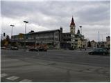 2
2 3
3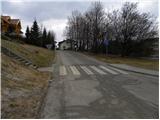 4
4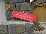 5
5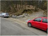 6
6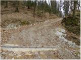 7
7 8
8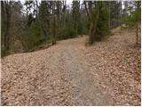 9
9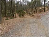 10
10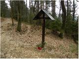 11
11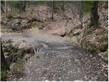 12
12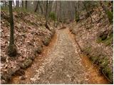 13
13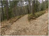 14
14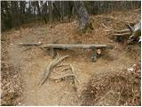 15
15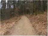 16
16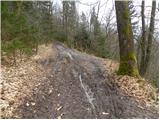 17
17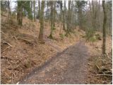 18
18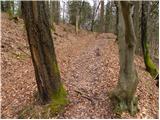 19
19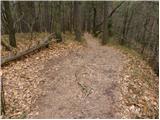 20
20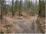 21
21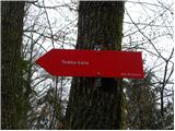 22
22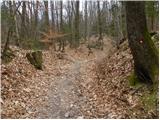 23
23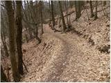 24
24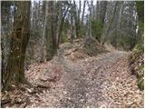 25
25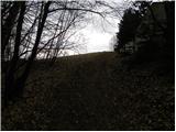 26
26 27
27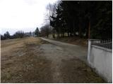 28
28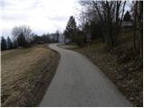 29
29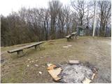 30
30 31
31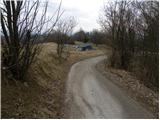 32
32 33
33
Discussion about the trail Ljubljana (Šentvid) - Toško Čelo
|
| Darxta7. 12. 2012 |
Jaz sem štartal s poti pred OMV-jem in čeprav tam ni oznak proti Toškemu čelu, se po prvem vzponu poti združijo v markirano pot. A tudi na markacije je potrebno biti precej pozoren, saj so precej slabše vidne, ali zaradi mokrih drevesnih debel ali pa ker so malce prekrite s snegom.
|
|
|
|
| korab27. 01. 2013 |
Dopoldan smo bili na Toškem čelu in sicer iz Pražana. Pot je lahka, vendar neoznačena in s številnimi odcepi. Kasneje se združi s potjo iz Šentvida. Markacije so slabe in na veliki razdalji. Morda zaradi tega ni veliko pohodnikov, kar je tudi prednost. Traja približno 1uro in 15 min.
Morda bi PD Rašica, ki pot vzdržuje v prihodnje označili tudi pot iz Pržana, saj je na robu Ljubljane in dostopna z mestnim avtobusom (končna postaja št.7)
|
|
|
|
| mirze11. 03. 2019 |
Ker ob izhodišču ni primernih parkirnih mest, je najbolje, da avto parkiramo nekje v bližini cerkve in gremo peš čez Celovško. Na drugi strani Celovške je zemljevid na tabli in ga lahko fotografiramo, če zemljevida nimamo s sabo.
|
|
|