Liboje - Kamčič (via organic farm Kralj - southern approach)
Starting point: Liboje (324 m)
| Lat/Lon: | 46,20976°N 15,20439°E |
| |
Name of path: via organic farm Kralj - southern approach
Time of walking: 1 h 10 min
Difficulty: easy marked way
Altitude difference: 201 m
Altitude difference po putu: 220 m
Map: Celjska kotlina, 1:50000
Recommended equipment (summer):
Recommended equipment (winter):
Views: 616
 | 1 person likes this post |
Access to the starting point:
From the Ljubljana - Maribor motorway, take the Žalec exit and continue towards Arji vas. At the crossroads at the end of the village, continue straight on towards Liboj. At Liboje turn left in the direction of Košnica pri Celju and follow the road for about 850 metres to a large private parking lot and a yellow house at the crossroads, where the road leading to the Kralj bio-farm branches off to the right. At this junction there is also a self-service stand of the farm and a nice signpost for the Kralj organic farm. Next to the latter signpost there is also a mountain signpost for Šmohor and Veliki Slomnik. You can park at a suitable place near the starting point.
Path description:
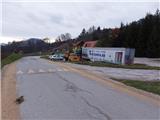
From the basic starting point described above (Fig. 1), follow the signpost towards the Kralj and Šmohor biofarm along the asphalt road up a gentle incline. However, 350 metres before the basic starting point described above, there is an alternative starting point (Figure 2) at the crossroads by the chapel, where there is also a signpost for Šmohor and Veliki Slomnik on a tree. The two routes from the two starting points merge on a dirt road about 700 metres further on. The disadvantage of the alternative starting point is that there is no convenient parking place nearby.
From the starting point, follow the asphalt road for about 200 metres to the Kralj bio-farm, and then continue in the same direction along the dirt road, which branches off towards the stream flowing under the Líboje wall of the Veliki Slomnik. At the last homestead before the stream, the road turns into a track that runs right next to the stream. Soon, you will come out on a dirt road coming from the right from the route of the alternative starting point. We turn left towards Šmohor. The dirt road then turns into a forest. Continue to a crossroads where the path goes left for Veliki Slomnik and right for Šmohor.
Continue to the right towards Šmohor, slightly uphill in the forest. The waymarked trail follows the forest road right-left, steepening, passing here and there an isolated farmhouse or cottage. Soon you reach a crossroads, where the path from Tremeri joins from the left. Still on the forest road, follow it upwards, but only a few metres to the first crossroads, where you continue slightly to the right down the macadam road, leaving the marked path towards Šmohorje. Follow the road for only a few tens of metres, then continue on the first cart track, which branches off to the right downhill. Soon you reach a saddle on the south side of Kamčič, where you continue in the same direction towards the ridge. Kamčič has five less distinct outcrops on its back, the highest of which is the middle one, which lies closer to the south saddle than to the north face of the precipice. As we walk along the ridge, we can occasionally get a view of the neighbouring hills. From the top of Kamčič you can descend back to the starting point along the same path, but it is worth continuing for another 15 minutes or so to the end of the ridge of Kamčič, where you will get a wonderful view at the top of the rocky north face, which is probably where the ridge takes its name. The view is practically on all sides of the sky over the surrounding hills and valleys, but the most striking is the view of the quarry at Liboje, which is already deeply embedded in the eastern ridge of the neighbouring Kotečnik. From the viewpoint I suggest a short descent to the starting point to the east (northern approach), after which the circular route can be completed.

We can extend the trip to the following destinations: Kotečnik
Pictures:
 1
1 2
2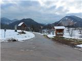 3
3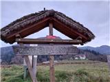 4
4 5
5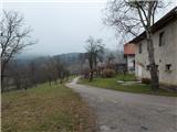 6
6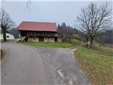 7
7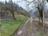 8
8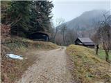 9
9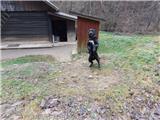 10
10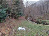 11
11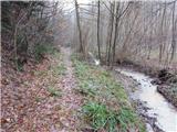 12
12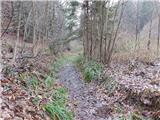 13
13 14
14 15
15 16
16 17
17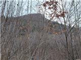 18
18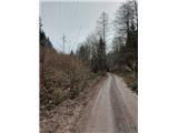 19
19 20
20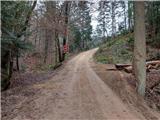 21
21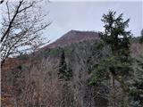 22
22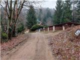 23
23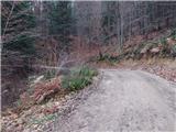 24
24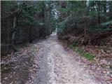 25
25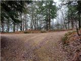 26
26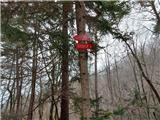 27
27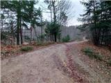 28
28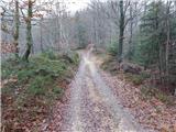 29
29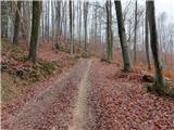 30
30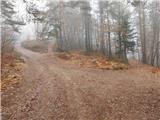 31
31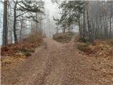 32
32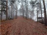 33
33 34
34 35
35 36
36 37
37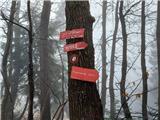 38
38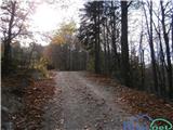 39
39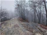 40
40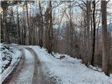 41
41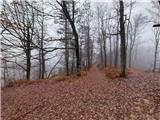 42
42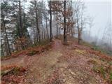 43
43 44
44 45
45 46
46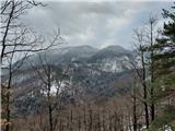 47
47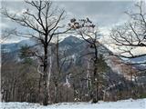 48
48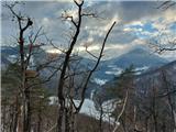 49
49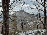 50
50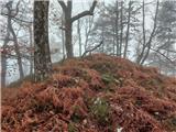 51
51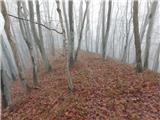 52
52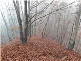 53
53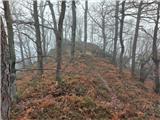 54
54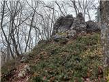 55
55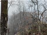 56
56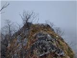 57
57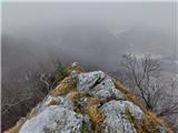 58
58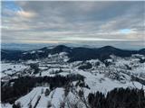 59
59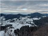 60
60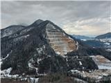 61
61 62
62
Discussion about the trail Liboje - Kamčič (via organic farm Kralj - southern approach)