Leskovica - Koča na Blegošu
Starting point: Leskovica (800 m)
| Lat/Lon: | 46,1473°N 14,0866°E |
| |
Time of walking: 1 h 35 min
Difficulty: easy marked way
Altitude difference: 591 m
Altitude difference po putu: 591 m
Map: Škofjeloško in Cerkljansko hribovje 1:50.000
Recommended equipment (summer):
Recommended equipment (winter):
Views: 15.701
 | 1 person likes this post |
Access to the starting point:
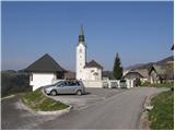
From Škofja Loka we drive towards Gorenja vas and on to Hotavlje, where we turn right in the direction of the village Leskovica. The road soon leads us to the village Kopačnica, after which it starts to climb steeper and leads us higher to the village Leskovica, where we see direction signs for Blegoš. Signs for Blegoš direct us to a narrow and steep road, which we then follow to a parking area next to a church.
The starting point can also be reached from Cerkno.
Path description:
From the parking lot we continue along the initially asphalted road, which, with a view of Blegoš and the surrounding peaks, quickly leads us into the forest. After a good 20 minutes of ascending the road, you will notice direction signs on the left hand side, directing you to cart track in the direction of the mountain guard shelter at Jelenci.
The track then ascends slightly to the right and, after a few steps, leads us to the place where the path from Volaka joins us from the right. Continue along the wide marked path, which crosses a torrential stream at a higher altitude and then climbs for some time. The path, which climbs moderately through the forest, soon leads to a forest road, which we only cross.
The way forward climbs over small steps and leads us within 5 minutes of further walking to the mountain guard shelter at Jelenci.
From the shelter, continue along the marked trail, which goes into a dense spruce forest. Soon the path from the village of Laze joins us from the left, and we continue slightly to the right along the path, which quickly leads us out of the forest. Once out of the forest, continue to the right towards the hut on Blegoš (left Črni vrh, straight ahead Črni Kal) along the worse road, which will take you up to the hut on Blegoš in a few minutes.

Pictures:
 1
1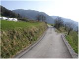 2
2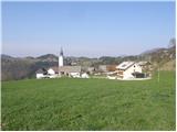 3
3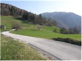 4
4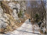 5
5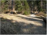 6
6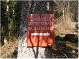 7
7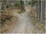 8
8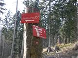 9
9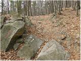 10
10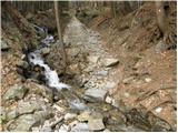 11
11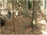 12
12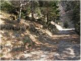 13
13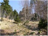 14
14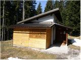 15
15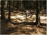 16
16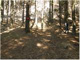 17
17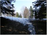 18
18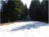 19
19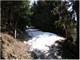 20
20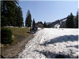 21
21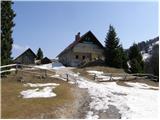 22
22
Discussion about the trail Leskovica - Koča na Blegošu