Lake Gradišče - Gradiški grič (on footpath)
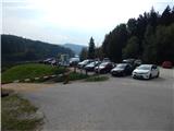
Starting point: Lake Gradišče (355 m)
| Lat/Lon: | 46,1621°N 14,708°E |
| |
Name of path: on footpath
Time of walking: 25 min
Difficulty: easy marked way, easy unmarked way
Altitude difference: 130 m
Altitude difference po putu: 130 m
Map:
Recommended equipment (summer):
Recommended equipment (winter):
Views: 1.530
 | 2 people like this post |
Access to the starting point:
From the motorway Ljubljana - Maribor, take the exit Lukovica, and then continue driving towards Moravče. After crossing Radomlje, you will reach the beginning of the settlement Spodnje Prapreče, where at the crossroads turn left towards Gradiška jezera. After a short climb, you reach a junction with a priority road, where you continue right towards Lake Gradišče (left Gradišče), and then just a little further, from the priority road, left towards Lake Gradišče (right Preserje pri Lukovici), in front of which you park in a larger parking lot.
Path description:
From the starting point, continue along the left, initially still asphalted road, from which the road to the settlement Gradišče pri Lukovici branches off sharply to the left (the branch is unmarked), and just a few steps further on, the road leading along the top of the embankment turns off to the right. At the point where the asphalt ends, we continue on the road which descends to the left side of the embankment and turns into cart track. As we walk along the meadow, the cart track is also lost, and we follow the occasional markings. As the trail approaches the forest, it splits and we continue on the upper, left, marked trail. We climb steeply through the forest for a short distance, then reach another cart track, which we follow at crossroads in the direction of the waymarks. Higher up, a few minutes' scramble is followed, then a road is reached where a waymarked path starts to descend the road, with a road to the right leading to a derelict house.
Continue straight ahead here, on a faint track, which ascends to the church walls, then walk along the walls to the left, quickly reaching the tarmac road and St Margaret's Church.
From the church, you can climb to the top, a few minutes away, but be careful not to walk in the fields, and it is best to climb to the top at the edge of the forest so as not to destroy the meadows.
Description and pictures refer to the situation in 2016 (October).

Pictures:
 1
1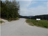 2
2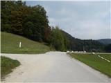 3
3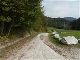 4
4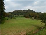 5
5 6
6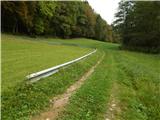 7
7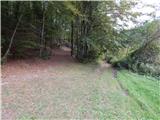 8
8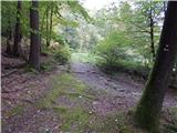 9
9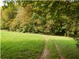 10
10 11
11 12
12 13
13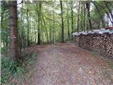 14
14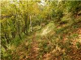 15
15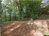 16
16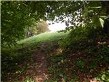 17
17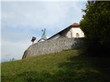 18
18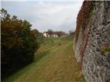 19
19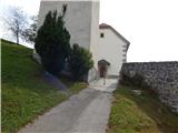 20
20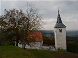 21
21 22
22 23
23 24
24
Discussion about the trail Lake Gradišče - Gradiški grič (on footpath)