Kraljev hrib - Rzenik (west path)
Starting point: Kraljev hrib (540 m)
| Lat/Lon: | 46,3061°N 14,6088°E |
| |
Name of path: west path
Time of walking: 3 h 40 min
Difficulty: easy unmarked way
Altitude difference: 1293 m
Altitude difference po putu: 1293 m
Map: Kamniške in Savinjske Alpe 1:50.000
Recommended equipment (summer):
Recommended equipment (winter): ice axe, crampons
Views: 4.780
 | 2 people like this post |
Access to the starting point:
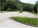
a) First drive to Kamnik, then continue in the direction of Kamnik Bistrica and the cable car to Velika planina. At Stahovica, turn left (direction Kamniška Bistrica and cable car Velika planina) and follow the road ascending moderately, then follow it to the large parking lot near the bottom station of the cable car to Velika planina (the parking lot is on the right hand side of the road).
b) From Podvolovljek, drive towards Kamnik via the Volovljek Pass or from Gornji Grad via the Črnivec Pass, also towards Kamnik. When you arrive in Stahovica from the crossroads continue right in the direction of Kamnik Bistrica and the cable car to Velika planina. Follow the road to the large parking lot at the bottom of the pendulum station at Velika planina (the parking lot is on the right hand side of the road).
Path description:
From the parking lot, follow the road in the route mountain pasture Down and Velika planina. After about 100 metres of walking along the road, just before the first right-hand bend, you will see on the left-hand side an initially wide path ascending into the forest (the turn-off is not marked). Continue along the above-mentioned path, which soon crosses lane of bushes and immediately afterwards leads to a crossroads, where you continue on the right-hand path. Continue along the path which, after a short climb, leads to a forest road which you follow to the left (unmarked).
After a minute or two of walking along the road, you will come to a marked crossroads, where you continue to the right along a marked footpath. The path ahead climbs gently at first between the hemlock stands, then starts to climb steeply. The relatively steep path, which passes through the forest the whole way, leads us higher up to a short section that is exposed to falling rocks. The path climbs steeper before turning left, where the steepness subsides. After a few minutes of easy walking, the path leads to a forest road, which you follow to the right. Follow the road, which immediately passes from the forest to the western edge of mountain pasture Down for about 5 minutes to a marked crossroads, where you continue left in the direction of Konjo (right Velika planina).
The way ahead climbs moderately across the meadow, then passes into the forest, where it turns to the right and gradually starts to climb steeper and steeper. There is a steep climb through the forest for about 20 minutes, and then the path leads to a small lookout point. Here the path turns left and also slightly slopes down. Continue along the moderately steep path, where you soon pass from the increasingly sparse forest into the lane of dwarf pines. There is a short climb on a well-trodden path through dwarf pines and the path leads to mountain pasture Rzenik, at the edge of which a shepherd's hut is seen.
At the hut, leave the marked path leading to Konja and turn slightly left to walk to the western part of the partly overgrown mountain pasture. Here, between dwarf pines, you will see a less well-trodden path leading into a compact strip of dwarf pines, through which a path, though burnt, leads, covered with tall grass. The path, which is moderately steep, gradually turns more and more to the left and then, when it reaches a ridge, turns to the right and, after a few minutes' further walking, leads us to a grassy summit. Kraljev hrib - mountain pasture Dol 2:00, mountain pasture Dol - mountain pasture Rzenik 1:00, mountain pasture Rzenik - Rzenik 40 minutes.

Pictures:
 1
1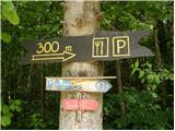 2
2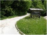 3
3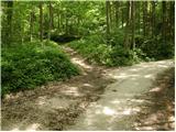 4
4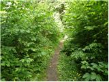 5
5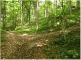 6
6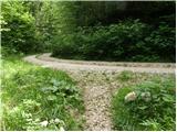 7
7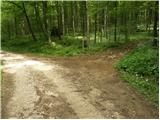 8
8 9
9 10
10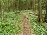 11
11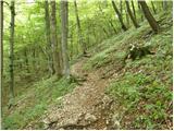 12
12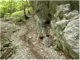 13
13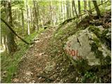 14
14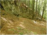 15
15 16
16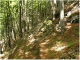 17
17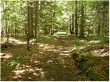 18
18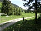 19
19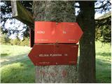 20
20 21
21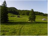 22
22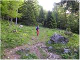 23
23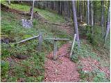 24
24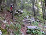 25
25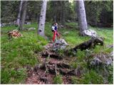 26
26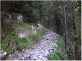 27
27 28
28 29
29 30
30 31
31 32
32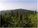 33
33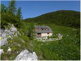 34
34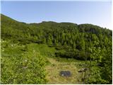 35
35 36
36 37
37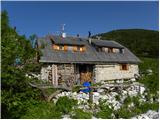 38
38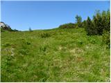 39
39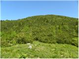 40
40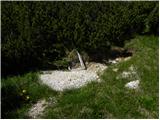 41
41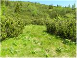 42
42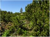 43
43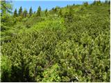 44
44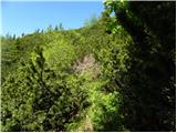 45
45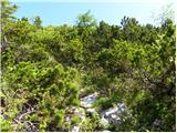 46
46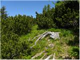 47
47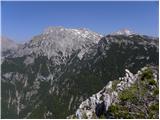 48
48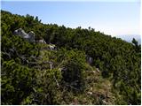 49
49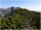 50
50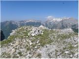 51
51
Discussion about the trail Kraljev hrib - Rzenik (west path)