Koroška Bela (RC Kres) - Planina Stamare (Gajškova pot)
Starting point: Koroška Bela (RC Kres) (630 m)
| Lat/Lon: | 46,4307°N 14,0982°E |
| |
Name of path: Gajškova pot
Time of walking: 2 h 30 min
Difficulty: easy unmarked way
Altitude difference: 770 m
Altitude difference po putu: 770 m
Map: Karavanke - osrednji del 1 : 50.000
Recommended equipment (summer):
Recommended equipment (winter): ice axe, crampons
Views: 4.863
 | 2 people like this post |
Access to the starting point:
From the motorway Ljubljana - Jesenice take the exit Lipce and turn right towards Jesenice. At the first traffic lights (Slovenski Javornik) turn right in the route Lj. At the second traffic-lighted junction, turn left and go under the railway underpass, and at the next smaller junction, turn right towards Koroška Bela. Go past the last bus stop (the shop on the left) into the village. Lok for the crossroads in the centre of the village, where there is a church memorial. From here, follow the main road through the village, which goes uphill to the north in a barely noticeable way. After about 100 m, you will see a bridge on the right, but go straight on for another 50 m, where you will come across a left fork in the road. Take this road, cross another (Koroška) street on the uphill slope and continue (the church is lower on the left) until you reach the area outside the settlement, where you come across the abandoned tennis courts (RC Kres).
Path description:
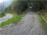
From the starting point, follow the right-hand path (kolovozu) uphill, where you will come across markings. At the second right-hand bend, you will see a lock (quarry), and continue along the hill, past the abandoned quarry on the left into the forest, where the path runs almost level, first straight ahead, and then begins to wind. When you reach a crossroads, you will see a direction sign on a tree pointing down to the left towards a ravine with a stream. Here you will come across a large pile of avalanche debris, before which you cross the stream and turn left uphill, where the path becomes slightly narrower. Walk for some time through mixed, partly thinner forest, and cross another ravine with a stream. When we are in a wider area of forest (no longer on a slope), the markings point us right uphill, where the path seemingly disappears. Towards the "top" of this aforementioned ascent, the markings direct us to the left, where the path soon first lays down and then descends to a third stream, which we cross. The wodland then opens up a little, and we are joined by an ascending track on the left (with a small, high-fenced tunnel on the right). Continue uphill on the track, which soon leads to a fork, where you leave the marked path and turn right uphill (straight Pristava). After a while, the marked path Dom Pristava - Valvazor joins our wide track from the left (by the worn metal direction sign). Continue on the track, which leads uphill, first turning slightly to the left, and later to the right towards the top. As the slope eases, you reach a cut part of the path, where it turns left. Here, to the SE, we have a view of the western slope of Alničja. When the path splits after a few metres, continue to the left, following the signs. Soon the steepness gives way and we walk for a while along a winding, sloping path through the forest. When we see rocks above the path on the left, we cross a stream, and the markings here direct us left uphill again (straight Alničje). After a shorter steeper climb, the path leads us into the valley between Velika Boncla and Debeli Brdo on the right, where we follow the markings uphill in an easterly direction. When the path is laid, it leads to a pass with a crossroads, where we follow the markings to the left (right Alničje). Soon we reach a clearing, where the path climbs again and after a while leads us to a forest road at 1270 m (near Olipova mountain pasture). Here, follow the road to the left to its end, where we will see a barely visible path to the right, heading northwards uphill along a slope. As you ascend and it disappears, turn left across a wide clearing (avalanche from Kamnitnik (unreliable in winter)) towards a wod, walk 100 m uphill along the edge of which, then you will see a path leading left through the wod. This leads to a small stream, which you cross, and follow uphill towards mountain pasture. We come across a wooden bridge, and the first hut on the left (lokout point behind it). Once on the forest road, after a few 10 m you reach the sunny mountain pasture of Stamare, with a shepherd's and hunter's hut.

Pictures:
 1
1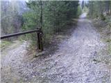 2
2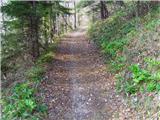 3
3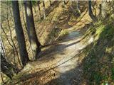 4
4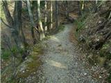 5
5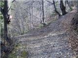 6
6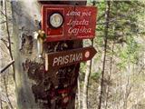 7
7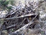 8
8 9
9 10
10 11
11 12
12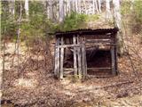 13
13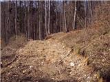 14
14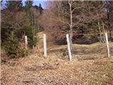 15
15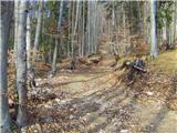 16
16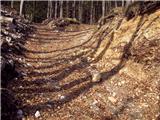 17
17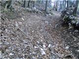 18
18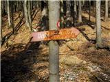 19
19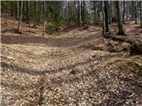 20
20 21
21 22
22 23
23 24
24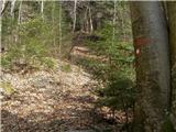 25
25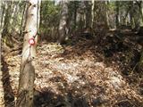 26
26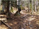 27
27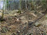 28
28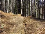 29
29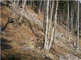 30
30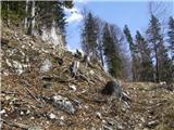 31
31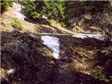 32
32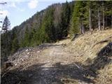 33
33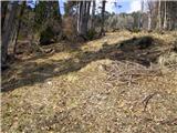 34
34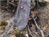 35
35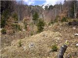 36
36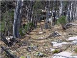 37
37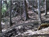 38
38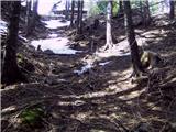 39
39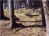 40
40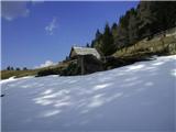 41
41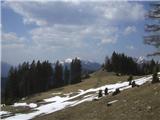 42
42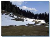 43
43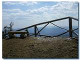 44
44
Discussion about the trail Koroška Bela (RC Kres) - Planina Stamare (Gajškova pot)