Koprivna (Šumel) - Govca (Olševa) (via Haderlap and over Spodnje Sleme)
Starting point: Koprivna (Šumel) (786 m)
| Lat/Lon: | 46,4566°N 14,7594°E |
| |
Name of path: via Haderlap and over Spodnje Sleme
Time of walking: 4 h 30 min
Difficulty: easy unmarked way, easy marked way
Altitude difference: 1143 m
Altitude difference po putu: 1215 m
Map: Koroška 1:50.000
Recommended equipment (summer):
Recommended equipment (winter): ice axe, crampons
Views: 1.310
 | 1 person likes this post |
Access to the starting point:
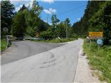
a) Drive to Črna na Koroškem, then continue in the direction of Koprivna and Solčava. Continue along the valley along the Meži River, and when you reach the crossroads where the road to Solčava branches off to the left, the route described above begins. Park somewhere nearby in a suitable place along the road.
b) Take the road to Solčava, then follow the signs for Črna na Koroškem. Then ascend to the pass Spodnje Sleme and descend to Črna na Koroškem and Koprivna. When you reach the valley, the junction with the road leading from Koprivna to Črna na Koroškem, you are at the start of the route described above. Park somewhere nearby in a suitable place along the road.
Path description:
From the starting point, take the road in the direction of Solčava, Podolševa and Logarska dolina, and the mountain signboard, which used to be next to the road signs, is now hidden nearby. The path initially leads us past a few more houses, including accommodation and the day bar at Mojca, before the road turns into the forest and climbs through Janšekov graben. After a short climb, we arrive at a crossroads where the road splits and we continue to the right in the direction of the footpath to Raduha.
Continue along the road leading towards the Janšek homestead, and we leave the road before crossing the stream and continue left on cart track, which begins to climb through the forest. Cart track has several forks higher up, but we continue on the wider one, which will take us to the Haderlap homestead.
Here, go left and walk to the carriage road. Continue along the road leading to the Spodnje Sleme pass (the abandoned path starts at the farm, which leads past the Prodnik homestead and joins the marked path to Olševo a little further north of the Spodnje Sleme pass). After about an hour and a half walk from the starting point, we reach a crossroads at the Spodnje Sleme pass, and we continue to the right in the direction of Olševa (on the left Raduha, the Grohot cottage and the Bukovnik (aka Bukovc) farm, which is considered the highest farm in Slovenia).
The way forward leads along a folded macadam road, which is soon joined by the aforementioned path past the Prodnik homestead. We continue along the left-hand side, passing Robnikov vrh (1392 m), which occasionally opens up a beautiful view towards Raduha.
At the unmarked Zgornje Sleme pass, we are joined on the right by a path that leads past the Church of St James, and we follow the signs for Olševa. We pass a nearby pasture on the left, and above it, we return to cart track, and from cart track we go left on a marked path that begins to climb steeply through the forest. There is a longer, rather steep climb, along a path that climbs through the forest, and also leads past a water trough, which dries up on dry days, and a natural cave. The trail flattens out when you reach the Lepi vrh ridge, but after a few minutes it starts climbing steeply again, this time towards the scenic Odeničný hřberje. When we reach the summit, we have a gently sloping path in front of us, which leads us along the Olševa ridge. At the Gladke peak, we are joined on the left by an abandoned path that starts at the homestead Zgornji Ošovnik in Podolševa, and after Visoko Peć there is some descent to a marked crossroads, where we are joined on the right by a marked path from Zadnji travnik, or the Mountain Home on the Kumer farm. Continue in the direction of Olševa, along the path, which begins to climb again, and during the ascent crosses a few short, mainly wet slopes exposed to slipping. Higher up, the sparse forest ends and the increasingly scenic path leads us to the highest peak of Olševa within a few minutes of further walking.
Starting point - Spodnje Sleme 1:30, Spodnje Sleme - Zgornje Sleme 0:25, Zgornje Sleme - Lepi vrh 1:00, Lepi vrh - Odenični hriber 0:40, Odenični hriber - Visoka peč crossroads 0:25, Visoka peč crossroads - Govca 0:30.
Description and figures refer to the situation in 2018 (July).

Pictures:
 1
1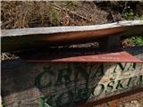 2
2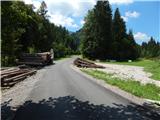 3
3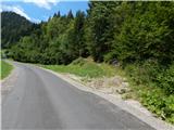 4
4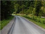 5
5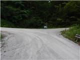 6
6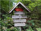 7
7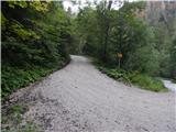 8
8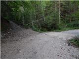 9
9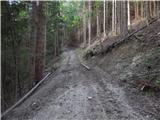 10
10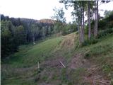 11
11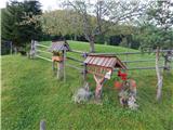 12
12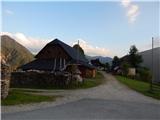 13
13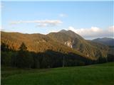 14
14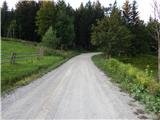 15
15 16
16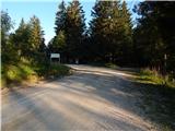 17
17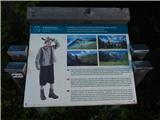 18
18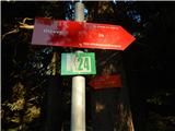 19
19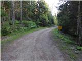 20
20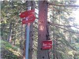 21
21 22
22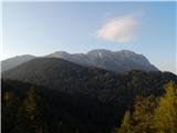 23
23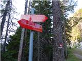 24
24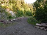 25
25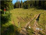 26
26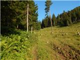 27
27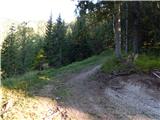 28
28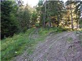 29
29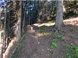 30
30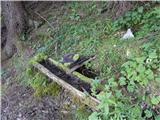 31
31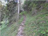 32
32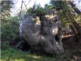 33
33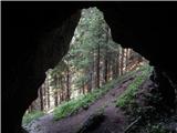 34
34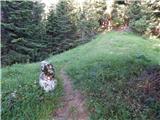 35
35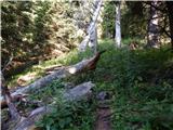 36
36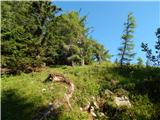 37
37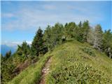 38
38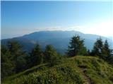 39
39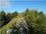 40
40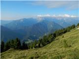 41
41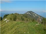 42
42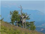 43
43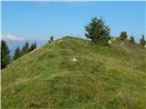 44
44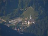 45
45 46
46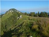 47
47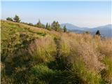 48
48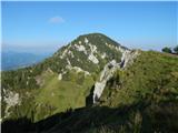 49
49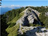 50
50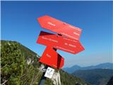 51
51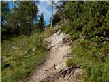 52
52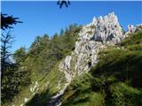 53
53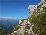 54
54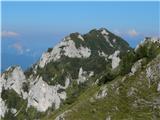 55
55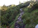 56
56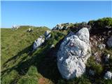 57
57 58
58
Discussion about the trail Koprivna (Šumel) - Govca (Olševa) (via Haderlap and over Spodnje Sleme)