Starting point: Kočevje (464 m)
| Lat/Lon: | 45,633°N 14,8585°E |
| |
Time of walking: 2 h 15 min
Difficulty: easy marked way
Altitude difference: 608 m
Altitude difference po putu: 625 m
Map:
Recommended equipment (summer):
Recommended equipment (winter): ice axe, crampons
Views: 2.500
 | 2 people like this post |
Access to the starting point:
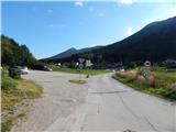
Drive to Kočevje and then through the town towards Croatia. When you reach the junction with Podgorska Street, turn right towards the Gaj Sports Park, Fridrihštejn Castle and the starting point of the hiking trails. Continue along Podgorska Street and then, after a compacted part of the settlement, you will reach a large marked parking area where you can park.
Path description:
From the parking lot continue along the asphalt road, which continues towards the foot of the hill, and at a small crossroads continue along the right road (left ski slope). Only a few steps further on we arrive at a marked crossroads of mountain paths, and we choose the right, Kalanova path, which continues along the asphalt road for a few more 10 steps, and then the signs for the above-mentioned path direct us to the left, to the path that begins to climb through the forest. Once in the forest, we quickly reach cart track, and then continue along the wide and well-trodden path, which begins to climb more steeply, crossing the forest road several times during the ascent.
From the path ascending through the forest, we rarely get a view towards Kočevje, but higher up the path leads us to a place where the path to the Cave of the Three Brothers branches off to the right, and we continue straight on, following the path as it lays down. A few minutes of easy walking follows, and then we reach the next forest road, which we follow slightly to the right (slightly left Koča pri Jelenovem studencu - 5 minutes).
Continue towards Ledenik, initially on a road that climbs moderately, then descends to a nearby crossroads, where you continue slightly right, or straight on (sharp left parking lot above Koča pri Jelenovem studencu).
From the crossroads, walk along the road for a few minutes, and then the signs for Ledenik direct you left down a footpath that continues through the forest. The path quickly becomes level, and then a short climb leads us to another forest road, which we follow to the left. There are two successive crossroads, and we continue along the right-hand road, with signs for Eleonora's Cave at the second crossroads. A few 100 metres further on, signs from the road leading to Eleonora's cave direct us to the right, to cart track, which continues through the forest, and at the crossroads we follow the signs. After a few minutes, the cart track markings direct us to the right, on a path that begins to climb towards the Ledenik summit, which is reached after about 10 minutes of further walking.
Description and pictures refer to the situation in 2016 (September).

Pictures:
 1
1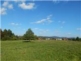 2
2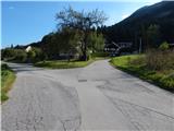 3
3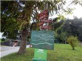 4
4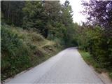 5
5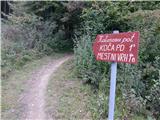 6
6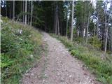 7
7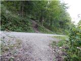 8
8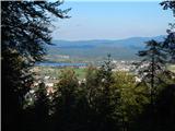 9
9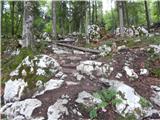 10
10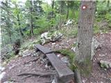 11
11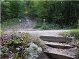 12
12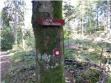 13
13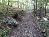 14
14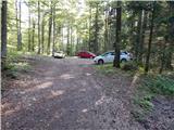 15
15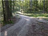 16
16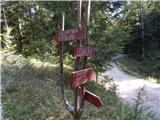 17
17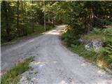 18
18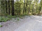 19
19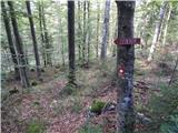 20
20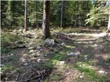 21
21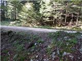 22
22 23
23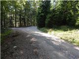 24
24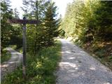 25
25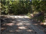 26
26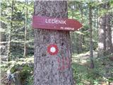 27
27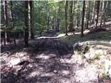 28
28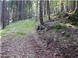 29
29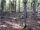 30
30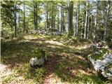 31
31 32
32
Discussion about the trail Kočevje - Ledenik