Knape - Sveti Mohor (Zabrekve) (via Hudi Laz, Flandrova pot)
Starting point: Knape (429 m)
| Lat/Lon: | 46,2186°N 14,2539°E |
| |
Name of path: via Hudi Laz, Flandrova pot
Time of walking: 1 h 40 min
Difficulty: easy unmarked way
Altitude difference: 523 m
Altitude difference po putu: 540 m
Map: Škofjeloško in Cerkljansko hribovje 1:50.000
Recommended equipment (summer):
Recommended equipment (winter): crampons
Views: 1.030
 | 1 person likes this post |
Access to the starting point:
a) Drive to Škofja Loka, then continue driving towards Železniki. After Bukovica, leave the main road and turn right towards Čepulje, Bukovščica and Ševlje. When the Ševlje settlement ends, drive along the valley of the Bukovščica stream for a while and then arrive at the Knape settlement, where the route described above begins in the middle of the settlement, by the chapel. As there are no parking spaces at the starting point, we park a little further down the road.
b) First drive to Železniki, then continue to Škofja Loka. Before Bukovica, leave the main road and turn left towards Čepulje, Bukovščica and Ševlje. When the Ševlje settlement ends, drive along the valley of the Bukovščica stream for a while and then arrive at the Knape settlement, where the route described above begins in the middle of the settlement, by the chapel. As there are no parking spaces at the starting point, we park a little further down the road.
Path description:
In front of the chapel, take the road to the left, which initially climbs along a small stream, then turns slightly to the left and passes onto a slope, where it climbs in a few bends to the hamlet of Hudi Laz, from where a beautiful view opens up. Beyond the yard of the last house, the path leads to cart track, which climbs gently along the edge of the forest, and then, with few signs, veers slightly right to the steeper cart track, and at the next crossroads, once again to the right. There follows an easy cross-climb to the right, where we get a transient view towards Lubnik and Grintovec, and then, below the viewpoint Blegoš (646 m), we reach the first or last houses of the village of Pozirno.
Continue along the road, and after a short descent go right in the direction of Sv. Mohorje. There is a short crossing to the right, and then you reach the next marked crossroads, where you continue straight on in the direction of the path past Tomažin (slightly shorter path on the left).
A few steps further on, leave the main road through the village and continue left up the road, which climbs above the nearby house, and then after a few short short cuts, reach the road leading to the "last" houses in the village. Before the last houses, bear right on cart track, which turns right into the woods after a building that is being demolished. Continue ascending for some time cross-country to the right, then at a small meadow the path turns left and leads to a wood pile where you cross cart track. The path becomes steeper and gradually turns into an undistinguished wooded ridge, which is climbed all the way to the Church of Sts Mohorj and Fortunat.
The entry box is located some 10 metres further on, at a nearby house.
Description and pictures refer to the situation in 2018 (March).

Pictures:
 1
1 2
2 3
3 4
4 5
5 6
6 7
7 8
8 9
9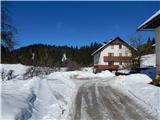 10
10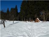 11
11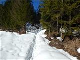 12
12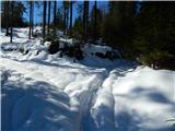 13
13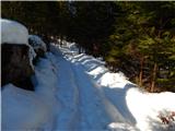 14
14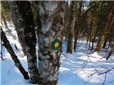 15
15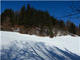 16
16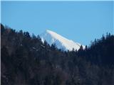 17
17 18
18 19
19 20
20 21
21 22
22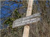 23
23 24
24 25
25 26
26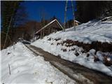 27
27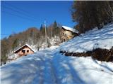 28
28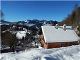 29
29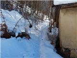 30
30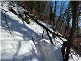 31
31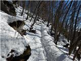 32
32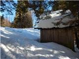 33
33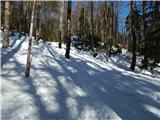 34
34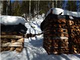 35
35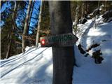 36
36 37
37 38
38 39
39 40
40 41
41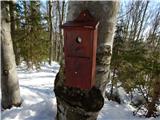 42
42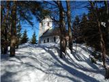 43
43 44
44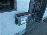 45
45 46
46
Discussion about the trail Knape - Sveti Mohor (Zabrekve) (via Hudi Laz, Flandrova pot)