Juranščina - Ivanščica (pot Kopanja)
Starting point: Juranščina (340 m)
Name of path: pot Kopanja
Time of walking: 1 h 45 min
Difficulty: easy marked way
Altitude difference: 721 m
Altitude difference po putu: 721 m
Map:
Recommended equipment (summer):
Recommended equipment (winter): crampons
Views: 1.180
 | 1 person likes this post |
Access to the starting point:
a) Arrive in Croatia via Border crossing Gruškovje / Macelj. Leave the Macelj-Zagreb motorway at Zabok. Continue in the direction of Bedekovčina, Zlatar Bistrica. After Poznanovec, leave the main road and go in the direction of Maca, Zlatar (it is also possible to reach Zlatar by continuing on and turning in the town of Zlatar-Bistrica). In Zlatar you will see signs for Belec, which is about 15 minutes away on a worse road.
b) From Prekmurje, take the Goričan-Zagreb motorway, leaving at the Novi Marof exit. From Novi Marof, we will continue in the direction of Zlatar, but only as far as the town of Budinscina, where we will take the worse road, which will lead us to the village of Belec after twenty minutes.
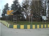
The official start of the trail is at the church in Belec, but from here it is a half-hour walk on asphalt to "our" starting point in the village of Juranščina.
Path description:
The route officially starts at the parking lot of the church in the village of Belec. I recommend that you continue on to the village of Juranščina, as it is a half-hour walk on asphalt. Leave the car at the crossroads.
From the crossroads, go right in the direction of Kopanja (on the left the path along the Brana and Belige streams, the ruins of Belecgrad Castle and the mountain hut). After a minute's walk, the asphalt ends and we are quickly at the last house in the village and the entrance to the forest. The path is sloping. After about ten minutes of walking, the path that has been heading northwards turns right at a long bend to the east and becomes steeper. The path now climbs along cart track and after about twenty minutes leads to a marked crossroads where the path for the summit of Mindžalovec branches off to the left.
Continue straight ahead on the cart track, which climbs steeply. After an hour's climb, you reach a crossroads where you take a sharp left onto a narrower path in the direction of Kopanja (straight Židovina and Prekrižje).
The crossroads is well marked. After the crossroads, the path becomes steeper and the surface, which has been earthy and occasionally muddy, becomes rockier. At the steepest part of the trail, there is a sharp bend to the right, after which the trail becomes slightly less steep. The path leads out of the forest onto a fairly steep clearing, which is usually very difficult to traverse at this time of year. Once we are back in the forest, it will be mixed. There is some more ascent and we arrive at the next crossroads, where the path from the top of Hanjžica joins us from the left. The path now lies down and leads to an asphalt road leading from the supply road to the former military buildings at the top of Ivanščice. When you reach the asphalt, go right and then, after two minutes, sharply uphill again to the left. Cross a small football pitch and after a minute's further walking you are at Pasarić's hut, which is located one minute below the top of Ivanščice.
The part of the path from the long bend to the crossroads for Kopanju is usually very muddy after rain. The part after the mowing is usually overgrown at this time of year.

Pictures:
 1
1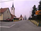 2
2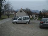 3
3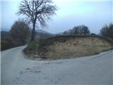 4
4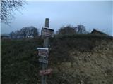 5
5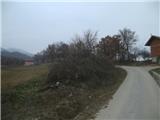 6
6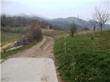 7
7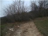 8
8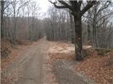 9
9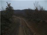 10
10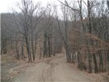 11
11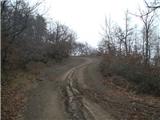 12
12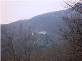 13
13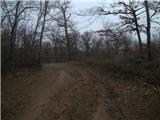 14
14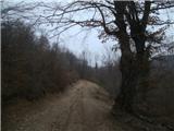 15
15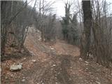 16
16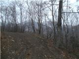 17
17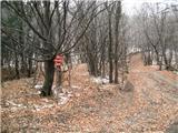 18
18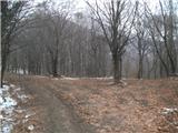 19
19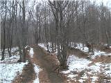 20
20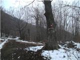 21
21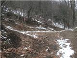 22
22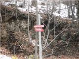 23
23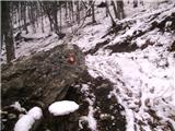 24
24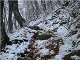 25
25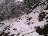 26
26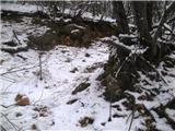 27
27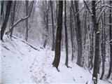 28
28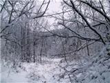 29
29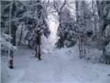 30
30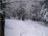 31
31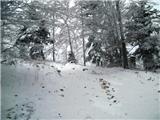 32
32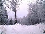 33
33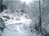 34
34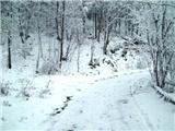 35
35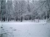 36
36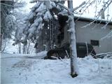 37
37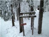 38
38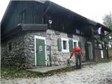 39
39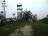 40
40
Discussion about the trail Juranščina - Ivanščica (pot Kopanja)