Hudi Graben - Šentanski vrh
Starting point: Hudi Graben (670 m)
| Lat/Lon: | 46,3599°N 14,26°E |
| |
Time of walking: 2 h 35 min
Difficulty: easy unmarked way
Altitude difference: 965 m
Altitude difference po putu: 990 m
Map: Karavanke - osrednji del 1:50.000
Recommended equipment (summer):
Recommended equipment (winter): ice axe, crampons
Views: 459
 | 1 person likes this post |
Access to the starting point:
a) From the motorway Ljubljana - Jesenice, at the Podtabor fork, continue in the direction of Ljubelj and Tržič. Continue on the expressway towards Ljubelj, then turn right just before the petrol station in the direction of Tržič and Begunj. The road then starts to descend, and at the first junction we continue left (towards Begunje) into an underpass, through which we arrive at Bistrica near Tržič. A little further on, the sign for Begunje directs us to the right onto a narrower and ascending road, which we then follow through Brezje pri Tržiču to the village of Hudi Graben, where we park at the end of the village at a suitable place next to the mountain direction signs.
b) Drive to Begunje na Gorenjskem, then follow the signs for Tržič. When you arrive in Hudi Graben, just a little further on from the road sign marking the beginning of the village, park in a suitable place by the roadside.
Path description:
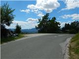
From the starting point, continue some 10 steps towards Begunj, and then the mountain signs for Dobrča direct us to the right, to the steep cart track, which leads to a nearby house. At the house, cart track turns left, and with cart track a little higher up, go left again, onto a transitional, slightly overgrown path. Follow the track up to a small pass, where you see a small house on the left, and we take the cart track, which we start to climb. Follow the markings as you walk along cart track, and when the marked path with cart track turns left into the woods, leave the markings and continue along cart track. Cart track soon splits, and we take the right-hand one, which we follow out of the woods and into a clearing that is already somewhat overgrown. There are a few more forks, and we follow the wider cart track. Cart track then climbs transversely to the right, but when it turns left, we leave it and continue straight on the beaten track. Continue along the track, which soon crosses a torrential ravine, and then climb mostly through the forest. The track, which is more like a stream during and after rain, turns left at a higher altitude and climbs to the Dobrča airstrip, where you reach the marked path from Brezija pri Tržiču.
From the take-off point, where Poldet Bibič's bench is located and from where a beautiful view of Gorenjska opens up, the path returns to the forest and starts to climb steeply. Climb steeply for some time, then cross a grazing fence and, a little higher up, cart track. A little above the track, you reach a marked crossroads at Stine, where you continue straight up (left Koča na Dobrči, right Lešanska planina), passing the nearby hut on your left. Climb steeply for a few minutes, then the path gradually flattens out and occasionally some views open up. There are a few more forks, where you follow the markings, and then the path descends and you reach the next marked fork, where you go right (left Koča na Dobrči). A fairly steep walk follows, and a little further on we are joined on the right by the path via Lešanská mountain pasture.
Continue towards Dobrča, again on a steeper path, which in about 5 minutes of further walking reaches the top of Dobrča, from which we get a beautiful view towards the Julian Alps.
From Dobrča we continue in the direction of Šentanski vrh, and we first descend into a small valley between the two peaks, followed by a short moderate climb to the very scenic Šentanski vrh.
Hudi Graben - Dobrča take-off point 1:25, Dobrča take-off point - Dobrča 1:05, Dobrča - Šentanski vrh 5 minutes.
Description and pictures refer to the situation in 2018 (June).

Pictures:
 1
1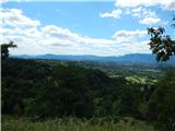 2
2 3
3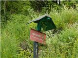 4
4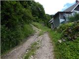 5
5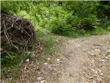 6
6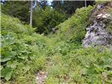 7
7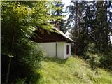 8
8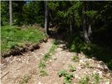 9
9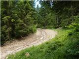 10
10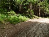 11
11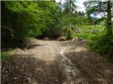 12
12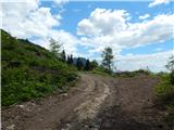 13
13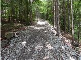 14
14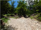 15
15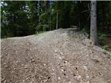 16
16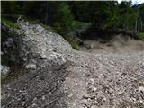 17
17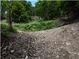 18
18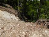 19
19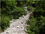 20
20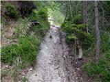 21
21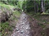 22
22 23
23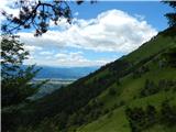 24
24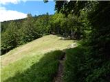 25
25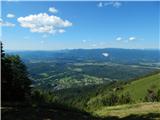 26
26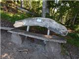 27
27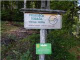 28
28 29
29 30
30 31
31 32
32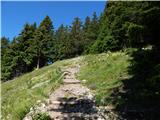 33
33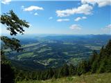 34
34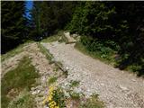 35
35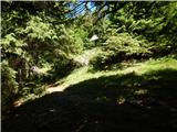 36
36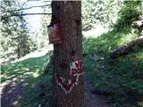 37
37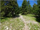 38
38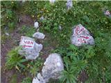 39
39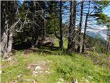 40
40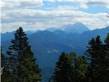 41
41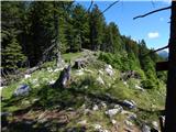 42
42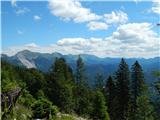 43
43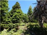 44
44 45
45 46
46 47
47 48
48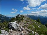 49
49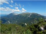 50
50 51
51
Discussion about the trail Hudi Graben - Šentanski vrh