Hrastnik (Podkraj) - Kum (via Matca)
Starting point: Hrastnik (Podkraj) (210 m)
| Lat/Lon: | 46,121°N 15,0916°E |
| |
Name of path: via Matca
Time of walking: 2 h 55 min
Difficulty: easy marked way
Altitude difference: 1010 m
Altitude difference po putu: 1015 m
Map:
Recommended equipment (summer):
Recommended equipment (winter): ice axe, crampons
Views: 19.700
 | 2 people like this post |
Access to the starting point:
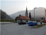
a) First drive to Litija, then continue in the direction of Trbovlje and on to Hrastnik. When you arrive in Hrastnik, do not continue left on the main road over the bridge over the Sava River, but continue straight ahead, and a few 10 metres further on, turn right in the direction of the Podkraj industrial zone. Between the industrial zone and a settlement of a few small blocks of flats, the described route to Kum begins. Park in a suitable place nearby, if there is enough space you can park in one of the car parks near the blocks.
b) From the motorway Ljubljana - Maribor take the exit Trojane, then continue driving in the direction of Zagorje ob Savi. Through Zagorje follow the signs for Litija, then after the bridge over the Sava River turn left towards Trbovlje (Litija on the right). Continue along the main road all the way to Hrastnik, where you do not turn left on the main road over the bridge over the Sava River, but continue straight ahead, and a few 10 metres further on, turn right towards the Podkraj industrial zone. Between the industrial zone and a settlement of a few small blocks of flats, the described route to Kum begins. Park in a suitable place nearby, if there is enough space you can park in one of the car parks near the blocks.
c) First drive to Celje, then continue in the direction of Laško, Rimske Toplice and Hrastnik. Follow the main road through Hrastnik, then, after crossing the Sava River bridge, turn left towards the Podkraj industrial zone. A few metres further on, the road turns right and leads between the industrial zone on the left and a settlement of a few small blocks on the right, where the described route to Kum begins. Park in a suitable place nearby, if there is enough space you can park in one of the car parks near the blocks.
d) Take the Radeče, from where you continue driving towards Zidane Most and turn left towards Hrastnik. Continue along the narrower road that leads along the Sava River, and when you arrive in Hrastnik, first turn left (right into the centre of Hrastnik), and then, after crossing the bridge over the Sava River, turn left again in the direction of the Podkraj industrial zone. A few metres further on, the road turns right and leads between the industrial zone on the left and a settlement of a few small blocks on the right, where the described route to Kum begins. Park in a suitable place nearby, if there is enough space you can park in one of the car parks near the blocks.
Path description:
From the starting point, continue in the direction of Kuma, and quickly leave the blind road, as the signs for the path over Matco direct us to the footpath, which after a short climb leads us to the allotments, and a few steps higher we cross the asphalt road that leads to the nearby waterworks. Go around the water tower on the left, then follow the frequent signs for Kum through the forest. Once out of the forest, the path leads you on a cross-country climb over a hayfield, which offers a beautiful view of part of Hrastnik and the surrounding hills. Higher up, the path returns to the forest and gradually changes to more scenic and steeper slopes. A wide path leads over the steep slopes, so that the ascent is not dangerous on land, but in the snow there is a risk of slipping in several places. As the steepness eases, you gradually emerge from the forest at the edge of the village of Matica, where the path leads you past a few houses. Leave the road quickly and then continue along the edge of the meadow for a short distance. A little further on, cross a dirt road that is still less good, and then climb through the lane of the forest to another tarmac road, which you follow to the left in the direction of Kuma. After a short climb on the road, at a small junction, continue on the right road in the direction of Kuma for pedestrians only. After a few metres, when the road turns into the forest, leave it as the signs for Kum direct you to the right onto a footpath that continues through the forest, crossing the asphalt road just a little higher up. After crossing the road, leave the woods and climb along the pasture to the next hamlet, where you follow the road to the left, and at the marked crossroads by the houses, take a sharp right onto the road leading by the outbuildings. After the house on the left, continue left on the path, which climbs up an increasingly scenic hayfield, and higher up it turns into a forest, through which you then climb. At the crossroads, follow the signs for Kum, crossing another dirt road in between (to the left you can reach the Church of St. Mary at Ključevica, and to the right you arrive in the Tratovškova Valley).
The forest thins out a little further and partly through meadows you reach the road leading to Kum. Follow the road to the left and two more paths from Trbovlje join it (the path over Dobovec and the path over Čebulovo dolina (Čebulovo dolina). When the forest thins out again, the signs for Kum direct us to the right, and then along a slightly steeper path, with increasingly beautiful views, we reach a crossroads just below the summit of Kuma, where we are joined on the left by the path from Zidanega Most (also the path from Radeče and Podkum). Here, continue to the right and past the mountain lodge to the top of Kuma, where the Church of St. Neže is located.
Description and pictures refer to the situation in 2016 (March).

Pictures:
 1
1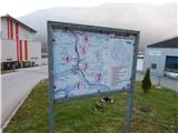 2
2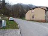 3
3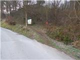 4
4 5
5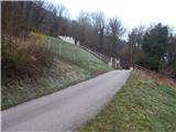 6
6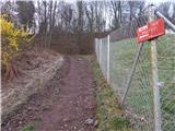 7
7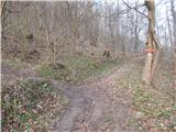 8
8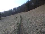 9
9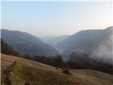 10
10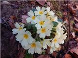 11
11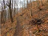 12
12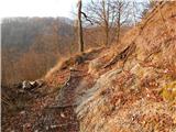 13
13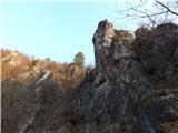 14
14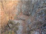 15
15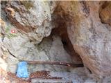 16
16 17
17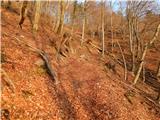 18
18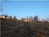 19
19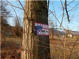 20
20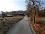 21
21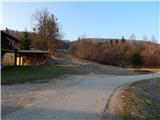 22
22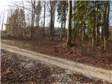 23
23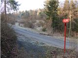 24
24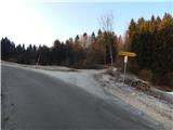 25
25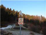 26
26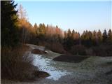 27
27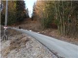 28
28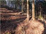 29
29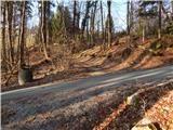 30
30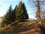 31
31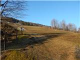 32
32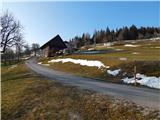 33
33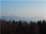 34
34 35
35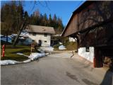 36
36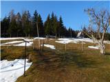 37
37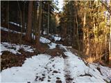 38
38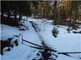 39
39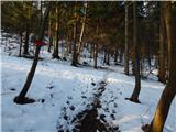 40
40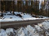 41
41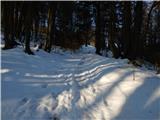 42
42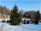 43
43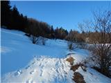 44
44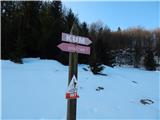 45
45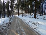 46
46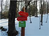 47
47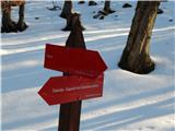 48
48 49
49 50
50 51
51 52
52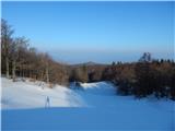 53
53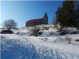 54
54 55
55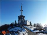 56
56 57
57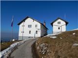 58
58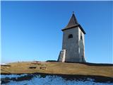 59
59 60
60
Discussion about the trail Hrastnik (Podkraj) - Kum (via Matca)
|
| andrej7824. 03. 2016 |
Čas hoje je povsem pretiran...povprečno pripravljen gornik, brez problemov pride na vrh v slabih 2 urah...
|
|
|
|
| garmont24. 03. 2016 |
In prehodi povprečno več kot 500 višincev na uro... 
|
|
|
|
| Hribolazec8117. 04. 2016 |
Jas sem bil gor v 1,45 ure normalne hoje ter fotografiral poleg, pote je pa všečna
|
|
|
|
| bruny17. 04. 2016 |
Relativni so ti časi...Iz železniške postaje na drugi strani Save potreboval 1 uro in 45 minut in tudi veliko fotkal. Ampak, če bi želel vse nekje videti še nekoliko bolj podrobno in s kom ob poti poklepetati je čas, ki je v opisu kar realen za popolni vtis.  Tudi v uri kdo doseže vrh in morda je komu potrebnih tudi pet.  To ni pomembno, pomen je v poti in cilj je le nagrada poti...
|
|
|
|
| Stamp7. 07. 2019 |
Gore po opisanom putu (2h10min), dole malo "šaranje" - prema Trbovlju pa prečica na istok (bilo je vremena i volje za to).. Ako nekog interesira Slike i karte u tu (klik na TO)
|
|
|
|
| gumpy23. 02. 2021 |
Lepa pot!
Po kar fajn zimskem januarju in začetku februarja, je tale konec meseca februarja že zelo pomladanski. Temperature od 8 do 17C! Toplo-skoraj vroče na strmem delu čez Matco. Super označena pot, tako da ni šans, da se zgubiš!
Cela pot je že kopna. Prvič bil gor na Kumu.
Luštno!
|
|
|