HE Ožbalt - Klančnik (Glančnik)
Starting point: HE Ožbalt (311 m)
| Lat/Lon: | 46,57524°N 15,40965°E |
| |
Time of walking: 2 h 10 min
Difficulty: easy marked way
Altitude difference: 566 m
Altitude difference po putu: 590 m
Map: Pohorje 1:50.000
Recommended equipment (summer):
Recommended equipment (winter): ice axe, crampons
Views: 123
 | 1 person likes this post |
Access to the starting point:
S ceste Maribor - Dravograd se zapeljemo do križišča ob avtobusni postaji HE Ožbalt, ki se nahaja v bližini HE Ožbalt, le ta pa med naseljem Ožbalt in Lovrenškim mostom. Ob izhodišču ni urejenih parkirnih mest za planince.
Path description:
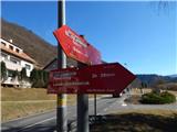
From the bus station, take the marked path in the direction of Rdeči Breg and Hunting cottage Klančnik and follow the road quickly down to the Ožbalt hydroelectric power station, where a fence closes the path.
Cross the bell to cross the area of the Ožbalt Hydroelectric Power Station, and on the other side of the River Drava, go right, once again over the fence.
The path ahead leads between the railway and the River Drava, and a little further on, carefully cross the railway line and continue along the marked path that climbs above the railway. There is some cross-climbing over a steep slope, and then the slope is gently sloping. A little further on, go left and climb steeply to a small ridge where the path turns right and descends to a nearby road. Follow the road up to the left, following the markings at the crossroads. Continue along the road along Kapusov Gren for a longer distance, and when you reach the pass between Jurčičev vrh (838 m) on the left and Klančnik (877 m) on the right, bear right in the direction of Rdeči Breg and Hunting cottage Klančnik (straight ahead to Puščava and Lovrenc na Pohorju), where you ascend the cart track. At a higher level, cross a dirt road, and after this, climb cart track for a while. Higher up, cart track narrows, and signs direct us to the left, where we exit the forest, and then, along the edge of the forest, we reach the summit of Klančnik in a few minutes.
Description and pictures refer to February 2022.

Pictures:
 1
1 2
2 3
3 4
4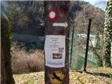 5
5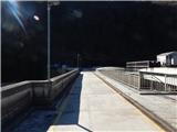 6
6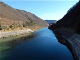 7
7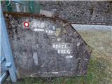 8
8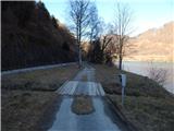 9
9 10
10 11
11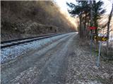 12
12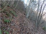 13
13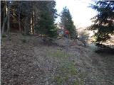 14
14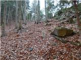 15
15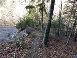 16
16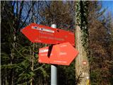 17
17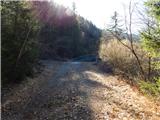 18
18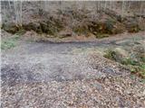 19
19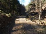 20
20 21
21 22
22 23
23 24
24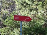 25
25 26
26 27
27 28
28 29
29 30
30 31
31 32
32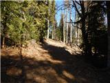 33
33 34
34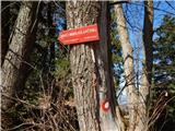 35
35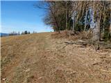 36
36 37
37 38
38
Discussion about the trail HE Ožbalt - Klančnik (Glančnik)