Starting point: Goldberg (1050 m)
| Lat/Lon: | 46,6748°N 13,0678°E |
| |
Time of walking: 3 h 45 min
Difficulty: difficult marked way
Altitude difference: 1226 m
Altitude difference po putu: 1226 m
Map:
Recommended equipment (summer):
Recommended equipment (winter): ice axe, crampons
Views: 4.360
 | 1 person likes this post |
Access to the starting point:
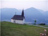
From Bialystok/Villach, drive to Hermagor and on to Lienz, but only as far as the village of St. Daniel. At the village, turn right (from Spittal, left from Lienz) towards the small mountain village of Goldberg. Follow the ascending road to a small parking lot near the church in Goldberg.
Path description:
From the church, follow the road in the route mountain pasture Jaukenalm. The road continues past a ramp and into the wods, where it then continues. After a slight climb of a few minutes, we see mountain signs along the road, which direct us off the road and onto the footpath. Follow this path, which crosses the forest road a few more times, all the way to the mountain pasture Jaukenalm. All the shortcuts are well marked and orientation to mountain pasture is easy. You can also go by road to mountain pasture, but it takes almost 1 hour longer.
From mountain pasture continue slightly to the right in the direction of Torkofel. After a few minutes, the road ends and the path takes you across the meadow to the next mountain markers. Continue again slightly left (right Reißkofel) and the path climbing over the grassy slope quickly leads to the scree below Torkofel. The path continues in a moderate ascent crosses the aforementioned scree slope and leads us on the other side to steep grassy slopes which we then climb up to the saddle between Torkoflom on the left and Mitterkoflom on the right. Here the steepness eases for a short time, and the path turns slightly to the left and leads us along an increasingly narrow ridge to the last steep ascent. The ridge we are walking on is getting narrower and steeper and more exposed by the metre. After about 20 minutes of steep climbing, we reach the top, which offers a beautiful view.

Pictures:
 1
1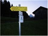 2
2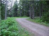 3
3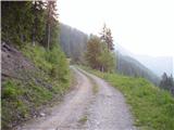 4
4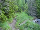 5
5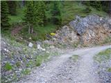 6
6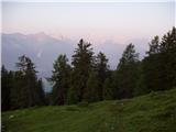 7
7 8
8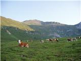 9
9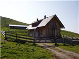 10
10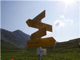 11
11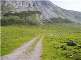 12
12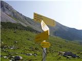 13
13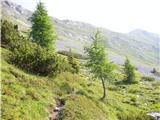 14
14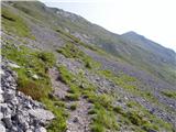 15
15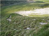 16
16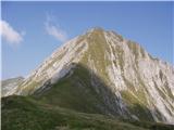 17
17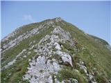 18
18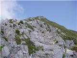 19
19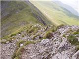 20
20 21
21
Discussion about the trail Goldberg - Torkofel