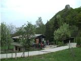
Dom pod Okićem - Čerga (Plešivica)
Starting point: Dom pod Okićem (411 m)
Time of walking: 1 h
Difficulty: easy marked way
Altitude difference: 368 m
Altitude difference po putu: 390 m
Map:
Recommended equipment (summer):
Recommended equipment (winter):
Views: 1.922
 | 1 person likes this post |
Access to the starting point:
a)Via Border crossing Brežice / Bregana, drive into Croatia and leave the motorway at the Samobor exit. When you arrive in the above-mentioned place, go south towards Zagreb. At the petrol station at the southern exit of the city, turn right and continue towards the villages of Mirnovec and Kladje. When the road leads to a serpentine pass, turn right into the village of Konščica and then drive west towards the village of Terihaji. Further along the road you will see signs for Dom pod Okićem, which direct you to the left.
b) From Prekmurje and the surroundings of Maribor, first drive to Border crossing Gruškovje / Macelj and continue along the motorway to the Jankomir junction, where you turn left in the direction of Ljubljana and Samobor. Leave the motorway at the exit for Samobor, then continue driving as described above.
Since the parking lot at the cottage is too small for all visitors and it is also quite difficult to reach the cottage from the orientation point of view, I recommend to reach the cottage by the footpath from Novi Selo Okićko.
Path description:
From the house below Okić, head west and follow the meadow down to the Okićnica stream, where you will see the entrance to the forest. Cross the stream and the path becomes quite steep, but soon gradually levels out. Higher up, the path levels out further and we emerge from the forest into the village of Poljanica Okićka.
The less interesting part of the trail follows an asphalt road that leads through the village. When the road returns to the forest, you will see signs for the village of Kotari. From here, walk along the asphalt for another minute or so, then continue left on the cart track (the path from the village of Rude joins from the right). When you leave cart track and go left on the narrower path, the path will lead you through lane of hemlocks. From here on, the path will become steeper and steeper and, via a few serpentines, will lead us to the inexpressible ridge of Plešivica. When we reach the lane walls, the steepness ends and a little further on we join the path from the village of Novo selo Okićko.
There is a steep climb of a few minutes to the summit, followed by a short descent, and then a slight climb to the top of Čerga, where there is a lookout tower and a geodetic point.

Pictures:
 1
1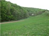 2
2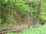 3
3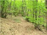 4
4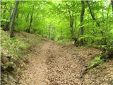 5
5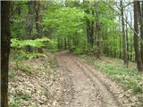 6
6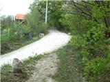 7
7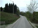 8
8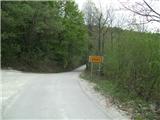 9
9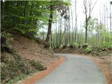 10
10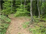 11
11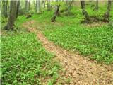 12
12 13
13 14
14 15
15 16
16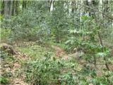 17
17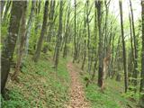 18
18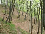 19
19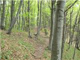 20
20 21
21 22
22 23
23 24
24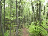 25
25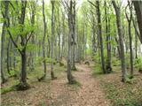 26
26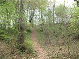 27
27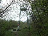 28
28 29
29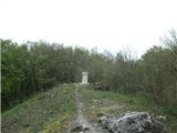 30
30
Discussion about the trail Dom pod Okićem - Čerga (Plešivica)