Divje jezero - Vojsko (via Strug)
Starting point: Divje jezero (338 m)
| Lat/Lon: | 45,9825°N 14,0273°E |
| |
Name of path: via Strug
Time of walking: 4 h 15 min
Difficulty: easy unmarked way
Altitude difference: 739 m
Altitude difference po putu: 940 m
Map: Idrijsko in Cerkljansko 1:50.000
Recommended equipment (summer): helmet
Recommended equipment (winter): helmet, ice axe, crampons
Views: 3.743
 | 1 person likes this post |
Access to the starting point:
a) First drive to Logatec, then continue driving towards Idrija. When the most winding part of the road towards Idrija ends, you will reach the hamlet of Podroteja, where you leave the main road and continue driving to the left in the direction of Divje jezero and Idrijska Bela. Follow the road for another 100 m, then park in the parking lot next to the information boards for the nearby Divje jezero.
b) From Most na Soči or Podbrdo, drive to Bača near Modre, then continue towards Idrija and on to Logatec. At the end of Idrija, at the hamlet of Podroteja, leave the main road and turn right in the direction of Divje jezero and Idrijska Bela. Follow the road for another 100 m, then park in the parking lot next to the information signs for the nearby Divje jezero.
Path description:
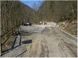
From the parking lot at Divje jezero we continue along the road, we walk along it for only a few 10 m, and then the signs for the path by the Raka direct us to the right to the footbridge, over which we walk to the other side of the Idrijka. On the other side of the Idrijka you reach a footpath, and we follow it to the left (Idrija on the right). We continue along the gently sloping path, which continues along the canal through which the water flows. The canal was built to serve the needs of a mine pump. The canal ends at the dam, which is reached after a few minutes, and we continue along a wide path that continues along the Idrijca River. We continue along a rather steep slope, but as the path is wide enough it does not cause us any problems on land. A little further on, we arrive at a marked crossroads, where we leave the marked path and continue our ascent to the right in the direction of the Struga peak.
The path ahead climbs steeply at first, then turns to the right, where it continues to climb steeply to the right. Here, due to forestry work, the path is more difficult to follow in several places, but it runs in roughly the same direction all the time, so there are no major problems with orientation. Higher up, we reach the end of the forest road, and we continue along it. The trail continues above Padarjevo Grapa, and leads past the pothole behind Pšenko, after which we quickly reach a crossroads where we join the asphalt road. Follow the road to the left, and soon a path branches off to the right to the nearby Taborniški koča na Pšenku. We continue on the asphalt road, which soon leads us to Čekovnik, where we arrive at the next crossroads. Here we turn right in the direction of the Hut on Hleviše and continue our ascent along a moderately steep macadam road. The road, along which you can see some old faded markings, leads you past some water tanks, and then you leave the road and continue your ascent slightly to the left along a less well-marked path. Soon we are back on the road, only to reach it at a marked crossroads where there are several direction signs.
Here continue left in the direction Hleviška planina (Idrija to the right, Idrija straight ahead via Kodrov rovt) and continue along the road, which is closed to public traffic. Follow this road, which soon leads out of the forest, all the way to Koča na Hleviški planini, which is reached after a further 5 minutes of walking. From the hut, continue in the direction Hleviška planina and continue the ascent along the path, which turns into a forest and starts to climb steeply. The way forward initially leads us along the edge of the ridge, then gradually passes into a small valley, where it also lays and after which we climb to the top of Hleviška planina.
From Hleviše mountain pasture we continue along the ridge, then the path turns left and starts to descend steeply. When the slope is bearable, an unmarked trail branches sharply to the right back towards the Hut on Hleviška planina, and we continue straight ahead, following the trail as it continues along and along the ridge connecting Hleviška planina with the adjacent summit. The trail continues with some ups and downs, mostly through the forest. The previously mentioned neighbouring peak Blaškova planina is passed on the right and then the path returns to the forested ridge where, after a further gentle descent, a marked crossroads is reached.
Here continue straight on (left down Tratnik and Idrijske klavže) and the path, which continues through the forest, gradually becomes cart track. The cart track, which slowly turns more and more to the right, soon passes Mohoričev vrh (975 m) on the right. On the other side of the summit, cart track widens further and leads to a nearby residential house, which is bypassed on the right-hand side, as the path leads under the carport of a nearby garage. The path continues along cart track, which crosses an open meadow, which is situated above some houses in the nearby hamlet. The path returns briefly to the forest, then descends to an asphalt road, which is followed to the right to a nearby crossroads.
At the crossroads, where there are information boards, turn left in the direction Vojsko (Idrija on the right) and continue along the asphalt road. The way ahead leads us across Kočevše, where you will be able to see the rock hermits (Choki, Trdini) on the left in the middle of the meadows. Continue along the road, which passes into the lane of the forest, and then the road is re-laid and leads us to a small crossroads, where a road branches off to the right to the nearby tourist farm Pri belem kamnu (At the White Stone). Continue straight on here and at all subsequent junctions in the same way. The road, which occasionally continues through the woods, but mostly through vast meadows, with views of the Trnov Forest and the surrounding hills, leads after about an hour's further walking to the Church of St. Joseph at Vojsko, from where a fine view opens up towards Škofjeloško and the Cerkljansko hills, and, with good visibility, also towards the Julian Alps.

We can extend the trip to the following destinations: Hudournik
Pictures:
 1
1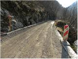 2
2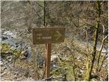 3
3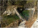 4
4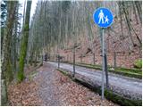 5
5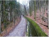 6
6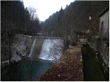 7
7 8
8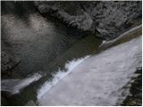 9
9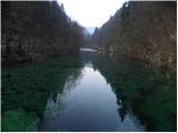 10
10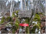 11
11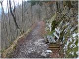 12
12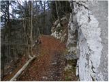 13
13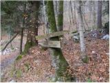 14
14 15
15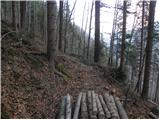 16
16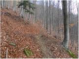 17
17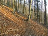 18
18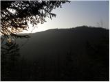 19
19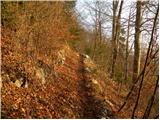 20
20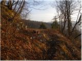 21
21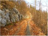 22
22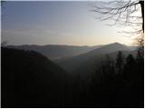 23
23 24
24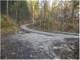 25
25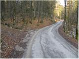 26
26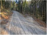 27
27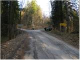 28
28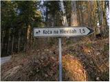 29
29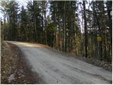 30
30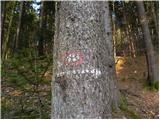 31
31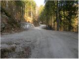 32
32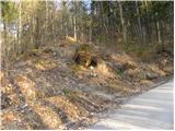 33
33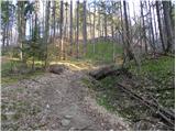 34
34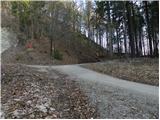 35
35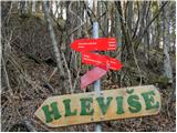 36
36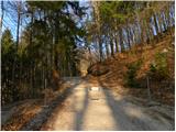 37
37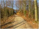 38
38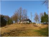 39
39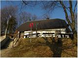 40
40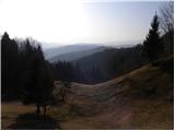 41
41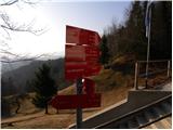 42
42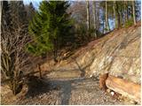 43
43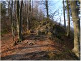 44
44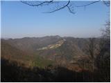 45
45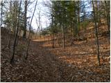 46
46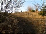 47
47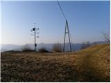 48
48 49
49 50
50 51
51 52
52 53
53 54
54 55
55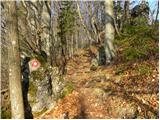 56
56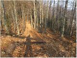 57
57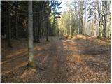 58
58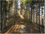 59
59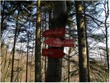 60
60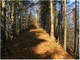 61
61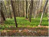 62
62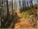 63
63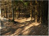 64
64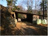 65
65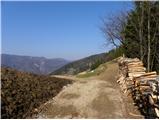 66
66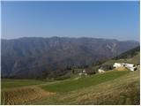 67
67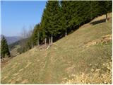 68
68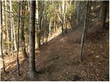 69
69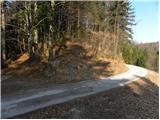 70
70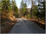 71
71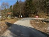 72
72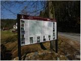 73
73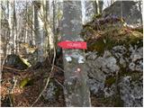 74
74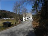 75
75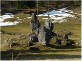 76
76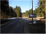 77
77 78
78 79
79 80
80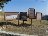 81
81 82
82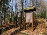 83
83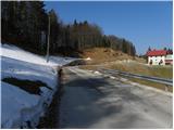 84
84 85
85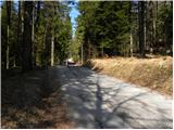 86
86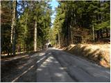 87
87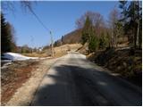 88
88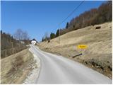 89
89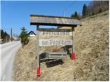 90
90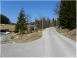 91
91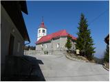 92
92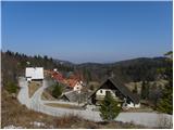 93
93
Discussion about the trail Divje jezero - Vojsko (via Strug)