Čretvež - Stolpnik (via Grofov štant)
Starting point: Čretvež (561 m)
| Lat/Lon: | 46,3448°N 15,3715°E |
| |
Name of path: via Grofov štant
Time of walking: 1 h 35 min
Difficulty: easy marked way
Altitude difference: 451 m
Altitude difference po putu: 475 m
Map:
Recommended equipment (summer):
Recommended equipment (winter):
Views: 6.073
 | 2 people like this post |
Access to the starting point:
From the Ljubljana - Maribor motorway, take the Slovenske Konjice exit and then follow the road towards the town. From Slovenske Konjice continue on the regional road towards Celje, and we follow it to Stranice, where just 10 m after the roundabout we turn left into the village of Bukovlje. The road continues up through Bukovlje, and then turns left to Čretvež, where at a small junction we continue on the road on the bottom right. There is a short descent, turning right after the "last" house. Here you will see the sign Stolpnik, marking the start of the route. As there is no suitable parking space at the starting point, follow the road that climbs above the house for about 100 m and then park in a suitable place.
Path description:
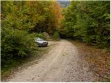
From the parking lot we return to the "last" house in the village, where a sign directs us to cart track, which we follow for a few steps. After about 10 m of walking along the wide cart track, you will see a track on the right, which climbs through the forest. Just a little higher up, the first markings appear along the path and then accompany us as we climb through the forest, pointing the right way at crossroads. Higher up, cross the forest road (to the right of the Štepih hunting lodge) and continue your ascent on a gradually more and more gently sloping path. Soon the path starts to turn more and more to the left, where it becomes more and more overgrown and less marked. Along the path, which crosses occasionally quite overgrown slopes for quite some time, you can see some markings for the XIV Division path. This trail then joins the road, which is followed to the left, and we follow it to a nearby crossroads (Grofof štant) at which there is a marked crossroads.
Continue in a sharp right direction towards Stolpnik, which is about half an hour's walk away. The path ahead starts to climb steeply and then for a short time it completely flattens out. A slight descent is followed by a moderate climb of a few minutes and the path, which mostly passes through dense forest, quickly leads us to the summit, on which stands a 25 m high lookout tower.

We can extend the trip to the following destinations: Stolpnik
Pictures:
 1
1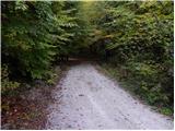 2
2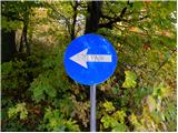 3
3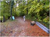 4
4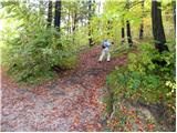 5
5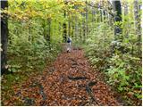 6
6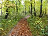 7
7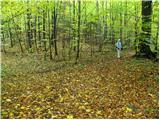 8
8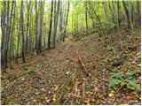 9
9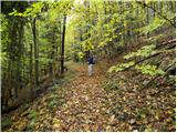 10
10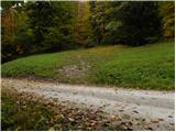 11
11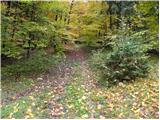 12
12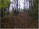 13
13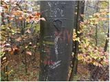 14
14 15
15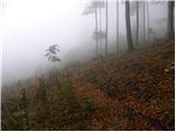 16
16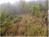 17
17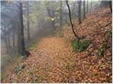 18
18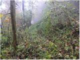 19
19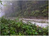 20
20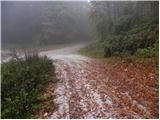 21
21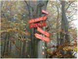 22
22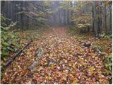 23
23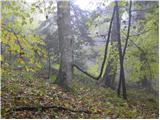 24
24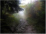 25
25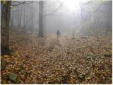 26
26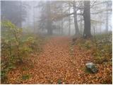 27
27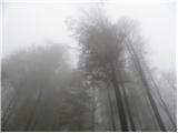 28
28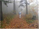 29
29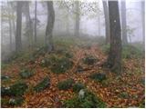 30
30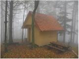 31
31 32
32 33
33
Discussion about the trail Čretvež - Stolpnik (via Grofov štant)
|
| pohodnik3820. 01. 2019 |
Danes na Stolpnik po tej poti z malo razlike začetek v kraju Stanice saj je tam ob cesti manjše parkirišče.Skozi naselje Bukovje do naselja Čretvež kjer sem se priključil na markirano pot.Bilo je super v lepi snežni idili... SLIKE in osebni vtisi z poti Lp! Tone 
|
|
|
|
| Hribolazec8118. 10. 2020 |
Pot je na novo označena, markacije so bolj poredke, ampak je pot lahko sledljiva
|
|
|