Cerkno - Škofje (on unmarked path)
Starting point: Cerkno (324 m)
| Lat/Lon: | 46,1288°N 13,9896°E |
| |
Name of path: on unmarked path
Time of walking: 1 h 45 min
Difficulty: easy unmarked way
Altitude difference: 649 m
Altitude difference po putu: 650 m
Map: Škofjeloško in Cerkljansko hribovje 1:50.000
Recommended equipment (summer):
Recommended equipment (winter): ice axe, crampons
Views: 383
 | 1 person likes this post |
Access to the starting point:
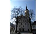
From the road Idrija - Tolmin drive to Cerkno, where you can park in one of the car parks in the centre or outskirts of the town (preferably near the Church of St. Anne).
Path description:
From the Church of St Anne in Cerkno, walk past the Café pr' Jušku and the Merkur shop to Pot v Strano Street, where the marked trail starts, leading to Mountain pasture at Cerkno, Škofju and Ermanovec. Follow the street upwards, and after a few metres continue along the right-hand road, which begins to climb steeply. The road ends at the last house, and we continue along cart track, which ascends transversely. Signs soon lead us to the left and the path leads us to a grassy slope which offers a fine view of Cerkno and the surrounding hills.
The path continues along cart track, and at the crossroads we follow the signs for mountain path No 5. The moderately steep path slowly moves away from Cerkno, but with fine views of the surrounding countryside it quickly leads us to an asphalt road, which we only cross. The ascent continues in the same direction, and we continue to climb along a less well-trodden dirt road, which, within a few minutes of further walking, leads us to the village of Mountain pasture at Cerkno.
Through the village, in the middle of which stands the church of St John the Baptist, walk along the cross-climbing cart track, which crosses the asphalt road several times, passing through several courtyards. Above the lower part of the village you reach a dirt road, which takes a few minutes to reach a small crossroads. Continue left and climb the narrower tarmac road leading to the 'last' house, leaving the tarmac road before reaching the 'last' house and turning left onto the initially wide unmarked track. When the track ends a little higher up, continue straight ahead, where you will see a track through the hay fields, which you will follow to the forest entrance, where the track becomes more distinct, and then climb up to the western ridge of Škofja, where you will be joined by another fainter unmarked track on your left (the track starts above the settlement of Čeplez).
Continue along the ridge, crossing a marked road higher up. Above the road, the path still leads along the ridge and climbs steeply. Slightly higher up, another unmarked path with Mountain pasture joins us from the right at Cerkno, and we follow the steep path all the way to the bivouac at Škofju. From the bivouac, we walk a few 10 steps to the lookout point, which opens up a beautiful view towards Planina pri Cerknem and the surrounding hills, and where we return to the marked trail.
Continue slightly to the left and climb gently to moderately up the grassy slope. Higher up, we approach the forest, and the markings lead us a little further left into a sparse forest, through which we continue to the nearby summit.

Pictures:
 1
1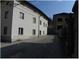 2
2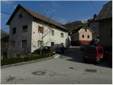 3
3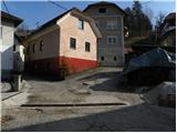 4
4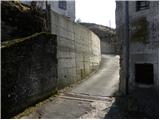 5
5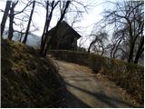 6
6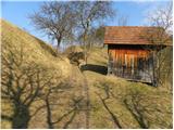 7
7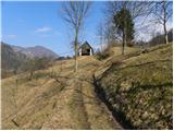 8
8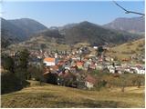 9
9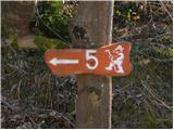 10
10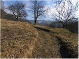 11
11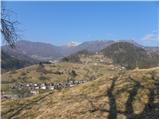 12
12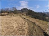 13
13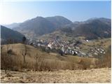 14
14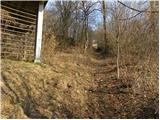 15
15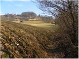 16
16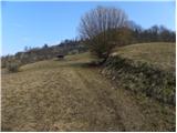 17
17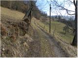 18
18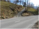 19
19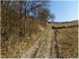 20
20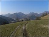 21
21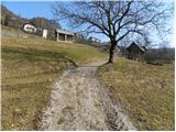 22
22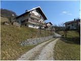 23
23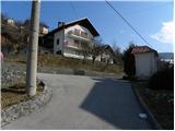 24
24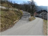 25
25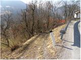 26
26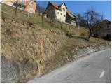 27
27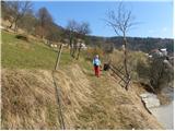 28
28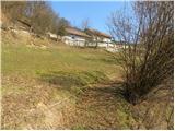 29
29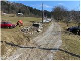 30
30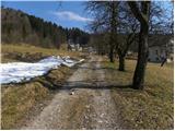 31
31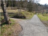 32
32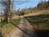 33
33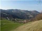 34
34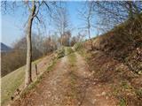 35
35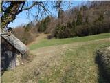 36
36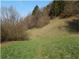 37
37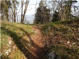 38
38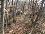 39
39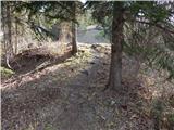 40
40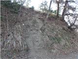 41
41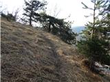 42
42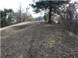 43
43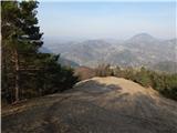 44
44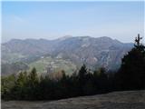 45
45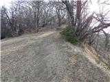 46
46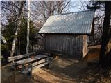 47
47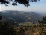 48
48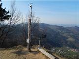 49
49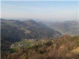 50
50 51
51 52
52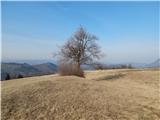 53
53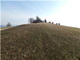 54
54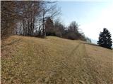 55
55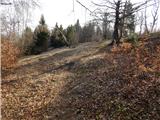 56
56 57
57
Discussion about the trail Cerkno - Škofje (on unmarked path)