Starting point: Cerkno (324 m)
| Lat/Lon: | 46,1288°N 13,9896°E |
| |
Time of walking: 1 h 45 min
Difficulty: easy marked way
Altitude difference: 649 m
Altitude difference po putu: 649 m
Map: Škofjeloško in Cerkljansko hribovje 1:50.000
Recommended equipment (summer):
Recommended equipment (winter): ice axe, crampons
Views: 5.969
 | 1 person likes this post |
Access to the starting point:
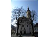
From the road Idrija - Tolmin drive to Cerkno, where you can park in one of the car parks in the centre or outskirts of the town (preferably near the Church of St. Anne).
Path description:
From the Church of St Anne in Cerkno, walk past the Café pr' Jušku and the Merkur shop to Pot v Strano Street, where the marked trail starts, leading to Mountain pasture at Cerkno, Škofje and Ermanovec. Follow the street upwards, and after a few metres continue along the road on the right, which begins to climb steeply. The road ends at the last house, and we continue along cart track, which ascends transversely. Signs then lead us to the left, and the path leads us to a grassy slope which offers a fine view of Cerkno and the surrounding hills.
The path continues along cart track, and at the crossroads we follow the signs for mountain path No 5. The moderately steep path slowly moves away from Cerkno, but with fine views of the surrounding countryside it quickly leads us to an asphalt road, which we only cross. The ascent continues in the same direction, and we continue to climb along a worse dirt road, which, within a few minutes of further walking, leads to the village of Mountain pasture near Cerkno.
Through the village, in the middle of which stands the Church of St John the Baptist, walk along the cross-climbing cart track, which crosses the asphalt road a few times, also passing through many courtyards. Above the lower part of the village you reach a dirt road, which takes a few minutes to reach a small crossroads. Here you continue uphill to the left, where you quickly reach the "last" house in the village.
Above the house, continue along the initially wide cart track, which quickly turns into a forest, and we continue along it for a few minutes. A little higher up, we leave the track and continue to the left along a marked and wide mountain path, which starts to climb steeply. A little higher we reach a macadam road, where the path to the Franja Hospital branches off to the left, and we continue straight ahead and after a short steep climb we reach an asphalt road, along which we walk to the next marked crossroads.
At the crossroads, turn left (right Ermanovec and Lajše) and continue over a short grassy slope into the forest (follow the footpath, not the nearby cart track). Continue climbing along the edge of the forest, and the path takes you right along the extensive grassy slope of Škofja. Higher up, the path leads us out of the forest onto a grassy ridge, where it turns to the right and continues to climb along an increasingly scenic ridge. This is followed by a gently sloping and very scenic walk along the grassy ridge (nice view of Kojca and Porezen), and then the path passes into the forest and after a few minutes of further walking leads us to the top of Škofja.

Pictures:
 1
1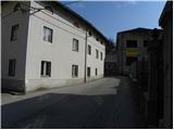 2
2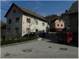 3
3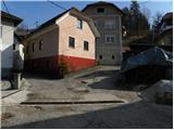 4
4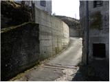 5
5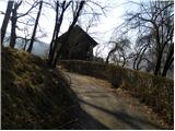 6
6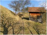 7
7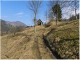 8
8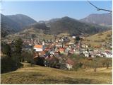 9
9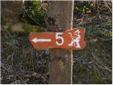 10
10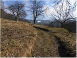 11
11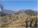 12
12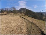 13
13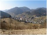 14
14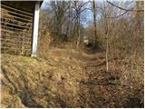 15
15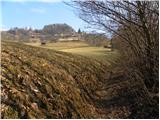 16
16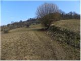 17
17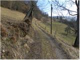 18
18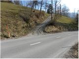 19
19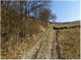 20
20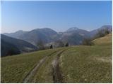 21
21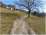 22
22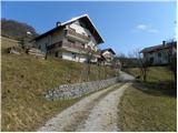 23
23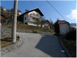 24
24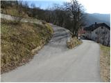 25
25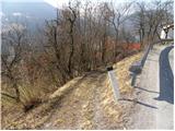 26
26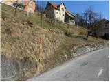 27
27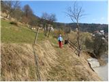 28
28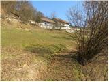 29
29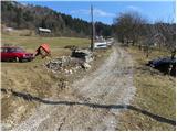 30
30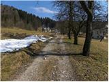 31
31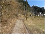 32
32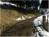 33
33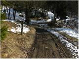 34
34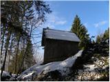 35
35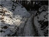 36
36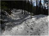 37
37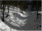 38
38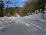 39
39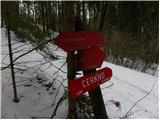 40
40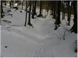 41
41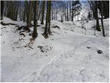 42
42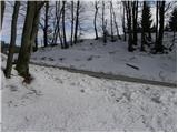 43
43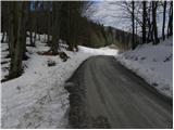 44
44 45
45 46
46 47
47 48
48 49
49 50
50 51
51 52
52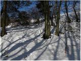 53
53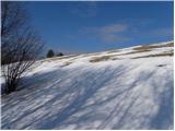 54
54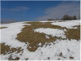 55
55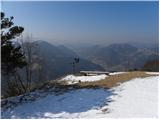 56
56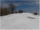 57
57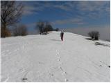 58
58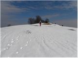 59
59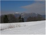 60
60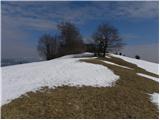 61
61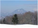 62
62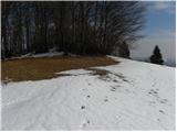 63
63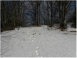 64
64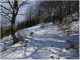 65
65 66
66
Discussion about the trail Cerkno - Škofje
|
| brejni19. 10. 2015 |
Če se ne želite vračati po isti poti, lahko pri razgledišču (slika 56) nadaljujete po uhojeni, vendar neoznačeni stezi. Steza nas pripelje nazaj v vas Planina, malo pod "zadnjo" hišo v vasi.
|
|
|