Čepulje - Sveti Mohor (Zabrekve)
Starting point: Čepulje (672 m)
| Lat/Lon: | 46,2326°N 14,2832°E |
| |
Time of walking: 1 h 30 min
Difficulty: easy marked way
Altitude difference: 280 m
Altitude difference po putu: 315 m
Map: Škofjeloško in Cerkljansko hribovje 1:50.000
Recommended equipment (summer):
Recommended equipment (winter):
Views: 23.989
 | 2 people like this post |
Access to the starting point:
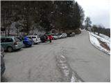
First, drive to Kranj (Labore), and from there continue in the direction of Stražišče, Pševo and Svetje Jošto nad Kranjem. Higher up, we reach the village of Javornik, from which a road branches off to the right towards the top of Jošto, and we continue straight on in the direction of Čepulje. When you reach Čepulje, continue to the right (Planica and Lavtarski Vrh on the left) and continue driving for about 100 m to a marked parking area.
Path description:
From the parking lot, take the steep road in the direction of Špičasti hrib and Sveti Mohor. The road, which passes through the forest, climbs higher and then continues with some short ups and downs. The way forward leads us past a small quarry, after which the path to Špičasti hrib branches off to the right, and we continue along the road for a short distance before it leads us to a marked crossroads, where the path to Sveta Jošta branches off to the right. Here we continue left down the footpath, which quickly returns to the road, which leads us to the homestead Gaber, where the road ends.
Continue on the marked footpath, which first climbs steeply, then lays down and leads us to a wide cart track, which we follow to a less well-marked crossroads, where the path from Zgornje Besnice joins us from the right.
Just a few metres further on, we enter a forest road, which we follow to the right and slightly upwards, which quickly leads us out of the forest onto a grassy ridge. The road then returns to the forest, where it first descends gently, then leads us in a slight ascent to the chapel at the hamlet of Bezovnica. Here the road descends to the local houses, where we see the signs for Sveti Mohor, which direct us slightly to the left. Walk through the yard of the farm building, then continue on the marked mountain path, which first climbs through the lane of a forest, then transitively lays down and leads us out of the forest, where after a few steps it joins the path from the villages Nemilje and Podblica
Continue straight on here and after less than 5 minutes of further walking you will reach the top with the church of St. Mohor.

Pictures:
 1
1 2
2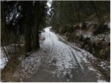 3
3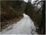 4
4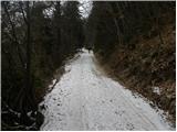 5
5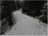 6
6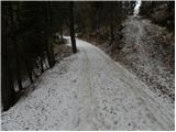 7
7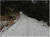 8
8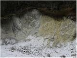 9
9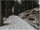 10
10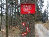 11
11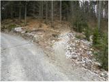 12
12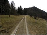 13
13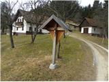 14
14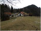 15
15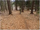 16
16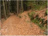 17
17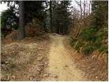 18
18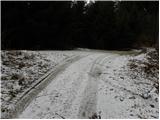 19
19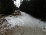 20
20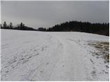 21
21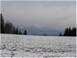 22
22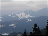 23
23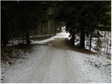 24
24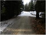 25
25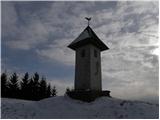 26
26 27
27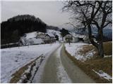 28
28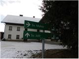 29
29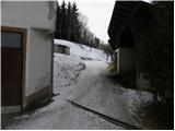 30
30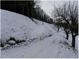 31
31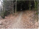 32
32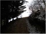 33
33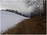 34
34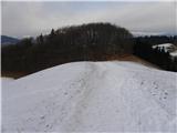 35
35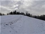 36
36 37
37 38
38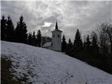 39
39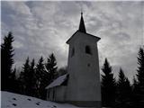 40
40 41
41
Discussion about the trail Čepulje - Sveti Mohor (Zabrekve)