Cave del Mole - Rifugio Corsi (sentiero dei tedeschi)
Starting point: Cave del Mole (1035 m)
| Lat/Lon: | 46,4023°N 13,5105°E |
| |
Name of path: sentiero dei tedeschi
Time of walking: 2 h
Difficulty: partly demanding marked way
Altitude difference: 839 m
Altitude difference po putu: 839 m
Map: Julijske Alpe - zahodni del 1:50.000
Recommended equipment (summer):
Recommended equipment (winter): ice axe, crampons
Views: 5.926
 | 1 person likes this post |
Access to the starting point:
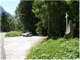
From Kranjska Gora, take the Rateče border crossing to Trbiz/Tarvisio. In Trbiz, turn left towards Bovec and follow the road to the crossroads near Lake Rabeljsko. Here, turn right in the direction of the Nevea Pass/Sella Nevea. Follow this road, which is mostly ascending, to where a macadam road forks off to the right. At the turn-off there is a monument with a cross and a signpost on a tree with the inscription "Corsi". Follow the dirt road for a few more bends, then park in the roadside parking lot shortly before the barrier.
From Bovec, drive to the Predel border crossing, from which you descend to the Italian side. Just after Lake Rabelj, you will reach a crossroads, where you turn left towards Nevejeski Prevala/Sella Nevea. Continue as described above.
Path description:
From the parking lot, continue along the macadam road, which starts to climb in the keys. The road passes through a forest, so there is little view. Only occasionally do we get a view to the south and south-east. The road then turns left and begins to climb steeply northwards. A steep paved road then leads out of the forest to Viška planina (1530m).
Near the bottom station of the cargo cableway, you will see signs directing you to the right into the forest along the "German path" (sentiero dei tedeschi). At first, the path descends a little, then turns right and crosses a few torrents. The path then starts to climb through the wods and later through the dwarf pines. Increasingly, we also get beautiful views, especially towards Viška planina below us and towards Rombon and Črnelská špica. There are also a few cliffs on the way, but the path is not to difficult in any part. More caution is needed, especially when there are snowbanks on the route.
Son we see the Corsi hut ahead and when we come out of dwarf pines we follow the grassy slope to the hut for only a few metres.

Pictures:
 1
1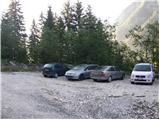 2
2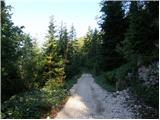 3
3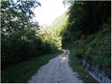 4
4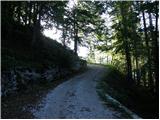 5
5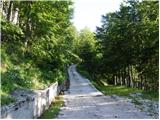 6
6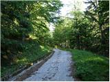 7
7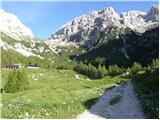 8
8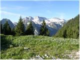 9
9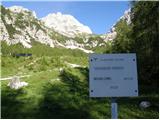 10
10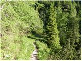 11
11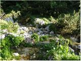 12
12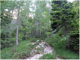 13
13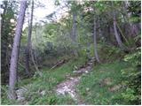 14
14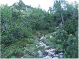 15
15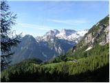 16
16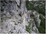 17
17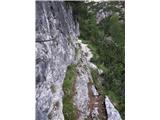 18
18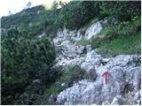 19
19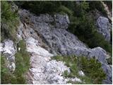 20
20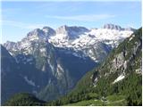 21
21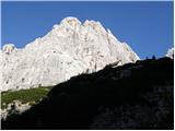 22
22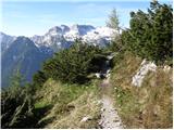 23
23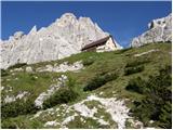 24
24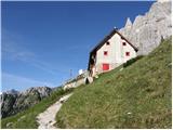 25
25
Discussion about the trail Cave del Mole - Rifugio Corsi (sentiero dei tedeschi)