Bajdiše (Gozdar) / Waidisch (forsthaus) - St. Anna (Matzen)
Starting point: Bajdiše (Gozdar) / Waidisch (forsthaus) (555 m)
| Lat/Lon: | 46,494°N 14,3485°E |
| |
Time of walking: 3 h
Difficulty: partly demanding marked way
Altitude difference: 981 m
Altitude difference po putu: 1000 m
Map: Karavanke - osrednji del 1:50.000
Recommended equipment (summer):
Recommended equipment (winter): ice axe, crampons
Views: 148
 | 1 person likes this post |
Access to the starting point:
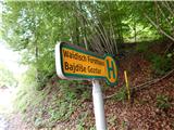
Via Border crossing Ljubelj, drive into Austria, then follow the main road towards Klagenfurt, but only as far as Podljubelj / Unterloibl, where you turn right towards the Hofer store and the police. A little further on, go right towards Bajdiše / Waidisch. The road leads past the Eurospar shop and we follow the main road to Bajdiše / Waidisch. A few 10 metres further on from the road signpost marking the end of Bajdiše, we see yellow mountain direction signs on the left, where the trail described above begins. There are no parking spaces at the starting point.
Path description:
Mountain signs direct us from the main road to the left onto a dirt road, where there is usually a log store, and after a few steps we take a sharp left onto a worse dirt road, which quickly turns into cart track. When the cart track is a little higher up in the forest, turn right off it onto a marked footpath which climbs steeply through the forest, then leads to an old clearing where scrub grows. At this point the path is laid and then returns into the woods and leads to a section where you cross over an occasionally steeper slope. The part where the slope is steepest is helped by a steel cable, but otherwise the path is not particularly difficult. A little further on, we re-emerge from the forest, and the path disappears in a small meadow, and we continue straight to a hut with a feeding station, where there is a marked crossroads.
Continue left in the direction of Matzen and follow the macadam road, from which a nice view opens up towards Košuta. A little beyond the right serpentine, leave the road and continue left upwards, where you will be guided by signs. We then climb through the forest, then return to the road, which we leave at the first bend. There is a fairly scenic climb from time to time, but the steepness eases when we return to the road. Walking along the road, from a nearby crossroads go left, and then the road, from which we have a view towards Košuta and Grlovec, and higher up Dobrač, leads us to a small valley, where we leave the road for a longer time. At first there is a climb up the valley, then the path turns left, where it leads out of the forest. The ascent through the younger, still low forest follows, where we carefully follow the markings on the grassy slopes, and the path also leads us through several fallen trees. There is a steep climb through the forest, where a large number of fallen trees make the path more difficult to follow, and then we return to the road, which we walk along to the nearby saddle Koce / Hansenruhe, where the next marked crossroads are located.
Continue towards Macna, where the path leads past a fenced bench and a table, and the path, which initially runs along a ridge, returns to the forest. In the forest, the path splits once more, and we take the path slightly to the right (Macna slightly to the left), which leads below the summit of Macna towards the Church of St Anne.
From the crossroads onwards, the route quickly passes to the north-eastern slopes of the Macna, over which it begins to climb cross-country. Continue through the forest, only at the part where you get to a steeper and uncultivated slope, a beautiful view opens up towards the river Drava and the surrounding mountains. The path quickly returns to the forest, and a few minutes further on it leads us to the Church of St Anne, from which we have a beautiful view.
Bajdiše - Koce 2:10, Koce - St. Anne 0:50.

Pictures:
 1
1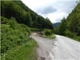 2
2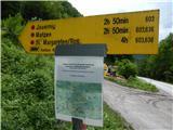 3
3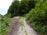 4
4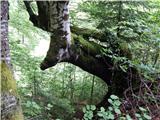 5
5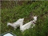 6
6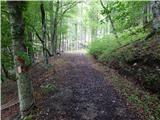 7
7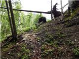 8
8 9
9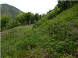 10
10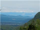 11
11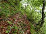 12
12 13
13 14
14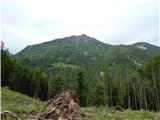 15
15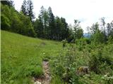 16
16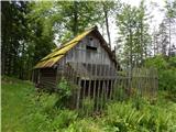 17
17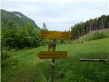 18
18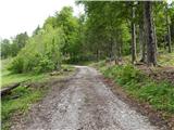 19
19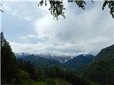 20
20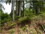 21
21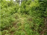 22
22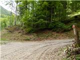 23
23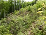 24
24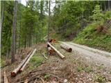 25
25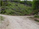 26
26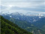 27
27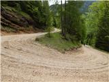 28
28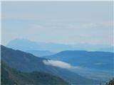 29
29 30
30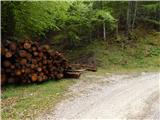 31
31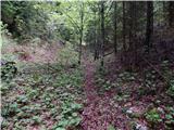 32
32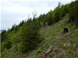 33
33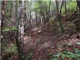 34
34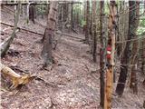 35
35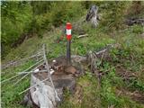 36
36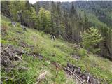 37
37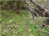 38
38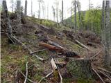 39
39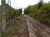 40
40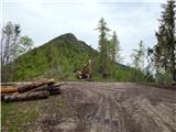 41
41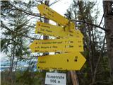 42
42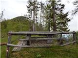 43
43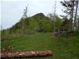 44
44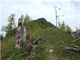 45
45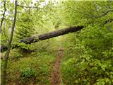 46
46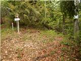 47
47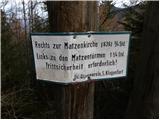 48
48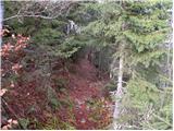 49
49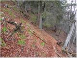 50
50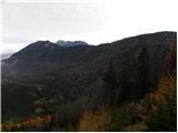 51
51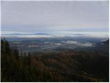 52
52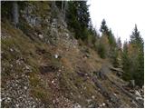 53
53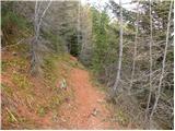 54
54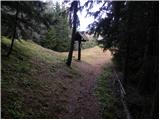 55
55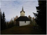 56
56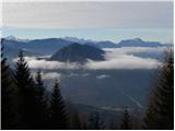 57
57
Discussion about the trail Bajdiše (Gozdar) / Waidisch (forsthaus) - St. Anna (Matzen)