Bad Eisenkappel - Topitza (via Ojstra)
Starting point: Bad Eisenkappel (550 m)
Name of path: via Ojstra
Time of walking: 3 h 45 min
Difficulty: easy marked way
Altitude difference: 1099 m
Altitude difference po putu: 1460 m
Map: Koroška 1:50.000
Recommended equipment (summer):
Recommended equipment (winter): helmet, ice axe, crampons
Views: 876
 | 1 person likes this post |
Access to the starting point:
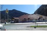
Cross the Jezersko border crossing to reach Železná Kapla. Free parking is available next to the landfill opposite the BILLA store - as you leave the old part of town, the road turns slightly to the left. And just after the end of the turn there is a small T-junction (the cemetery is on the right, and the Agip petrol station is on the straight left), where you turn left into a narrow street and after 200 m turn right into a sandy area where the waste containers are.
Path description:
Follow the narrow road back to the main road and cross at the pedestrian crossing. Continue left for a few steps and then right along the road up the bank. The first steep slope brings you above the cemetery. There it flattens out and you pass a block of flats to reach the next crossroads. Turn left again along the steep road. At the bend higher up, you can follow the curve of the road along the grassy path "Berghof Brunner".
Then follow the tarmac again to the bend where, at a fork, a signpost directs you to the upper dirt road. Walk over the road bends and then head a little higher into the woods. The path to the ridge is steep in places, but soon levels out. Approach the end of the dirt road (the one we walked on at the start). A little further on, cross a clearing. We pass another one in the forest, and then we are back on the road. Take the bottom one and you are in front of a large clearing with a house and a hunting observation post. Go past both of these to the other end and continue to the top of the ridge to the left. We have arrived at the Prevernikovo saddle.
The path leads us right along cart track and then onto the path on the left side of the ridge. Slowly we climb up the ridge, then we start to move our knees again. At the end of this ordeal we are at the top of Ojstra.
From the top of the Ojstra, follow the sign Wögelhof, Bad Eisenkappel, route 671. We descend down the slope surrounded by forest. Lower down, a series of tracks and connecting paths slowly gain altitude. Here, somewhere, the name Topitz, 641, starts to appear on the signposts. In some places, the logging has resulted in beautiful views of the surrounding hills.
From the path you come to a longer clearing, which ends with a hut on the shoulder of the ridge. Continue a little further into the forest and, passing a signpost, climb to the top of Topitsa.

Pictures:
 1
1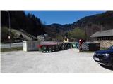 2
2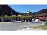 3
3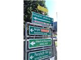 4
4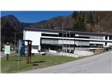 5
5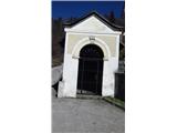 6
6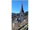 7
7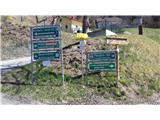 8
8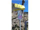 9
9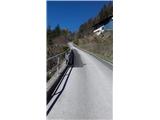 10
10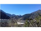 11
11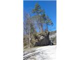 12
12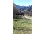 13
13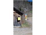 14
14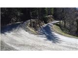 15
15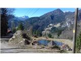 16
16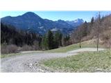 17
17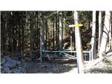 18
18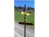 19
19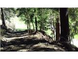 20
20 21
21 22
22 23
23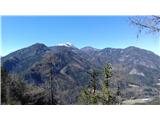 24
24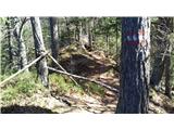 25
25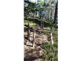 26
26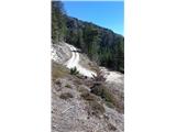 27
27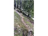 28
28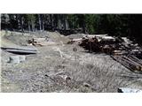 29
29 30
30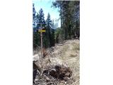 31
31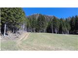 32
32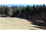 33
33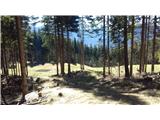 34
34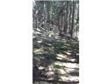 35
35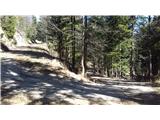 36
36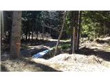 37
37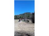 38
38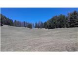 39
39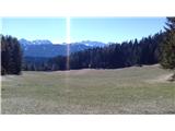 40
40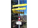 41
41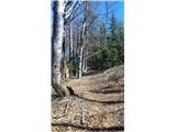 42
42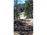 43
43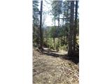 44
44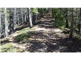 45
45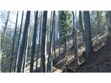 46
46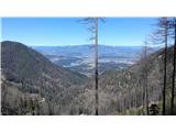 47
47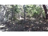 48
48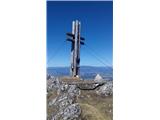 49
49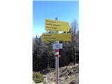 50
50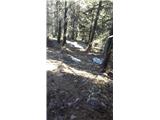 51
51 52
52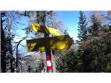 53
53 54
54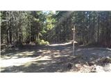 55
55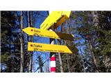 56
56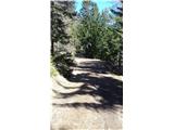 57
57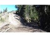 58
58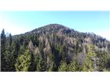 59
59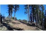 60
60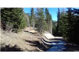 61
61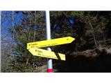 62
62 63
63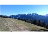 64
64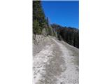 65
65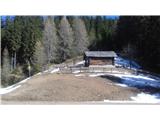 66
66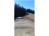 67
67 68
68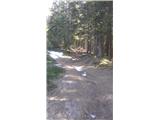 69
69 70
70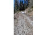 71
71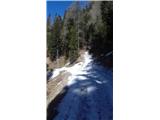 72
72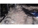 73
73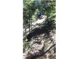 74
74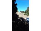 75
75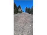 76
76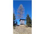 77
77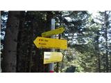 78
78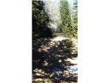 79
79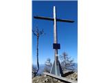 80
80
Discussion about the trail Bad Eisenkappel - Topitza (via Ojstra)