Bad Bleiberg - Hachelnock
Starting point: Bad Bleiberg (980 m)
Time of walking: 1 h 45 min
Difficulty: easy marked way
Altitude difference: 462 m
Altitude difference po putu: 462 m
Map:
Recommended equipment (summer):
Recommended equipment (winter):
Views: 8.879
 | 2 people like this post |
Access to the starting point:
Cross the Korensko sedlo border crossing and descend into Austria, and when you reach the main road Trbiz / Tarvisio - Bialjak / Villach, continue left towards Trbiz. Follow the main road to Ziljica / Gailitz, and at the roundabout turn onto the road to Šmohor / Hermagor. From the roundabout, follow the road to Schmohor for about 11 km, then follow the signs for Plajberk near Bialek / Bad Bleiberg to the left. Continue through the underpass and the road leads to the centre of Cajna / Nötsch im Gailtal, from where you continue to Plajberk near Bialek. We continue along an ascending road, which quickly takes us past a quarry to Bleiberg Kreuth, and we drive on for a few kilometres to Plajberk near Belzec / Bad Bleiberg. About 100m before the spa, turn left off the main road onto the ascending road and follow the signs for Hotel Klom. Park near the hotel.
Path description:
Take the forest road and follow the signs "Mittagsnock - Hachelnock". After about 10 minutes' walk, a path forks off to the right towards the Traningerwand climbing wall, and we continue along the road. Continue along the road for a while and then, at a right-hand bend, you will come to a crossroads with signposts. Bear right up past the "Hachelnock" signs, and bear left up the path towards the summit of Mittagsnock.
From the crossroads follow the narrow cart track, which initially runs almost parallel to the forest road. The path then climbs through the forest for some time and crosses the road several times. This path then leads us to a marked crossroads. To the right of the road is a path leading to Hubertushütte hut and a direct path to the summit of Schwandnock, and we continue slightly left into the woods beyond the Hachelnock markers.
The path continues to climb through the forest and leads to the crossroads at Hachel Saddle (1400 m). At the crossroads, where there is also a bench and a cross, continue right along the ridge. After about 30 minutes of climbing along the ridge, you reach the indistinct summit of Hachelnock.

Pictures:
 1
1 2
2 3
3 4
4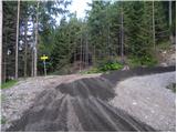 5
5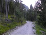 6
6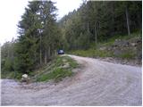 7
7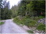 8
8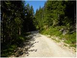 9
9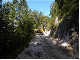 10
10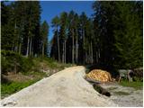 11
11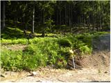 12
12 13
13 14
14 15
15 16
16 17
17 18
18 19
19 20
20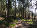 21
21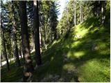 22
22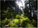 23
23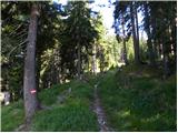 24
24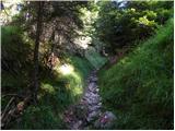 25
25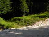 26
26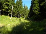 27
27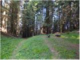 28
28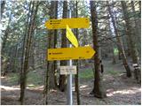 29
29 30
30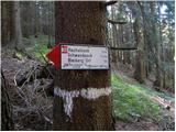 31
31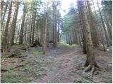 32
32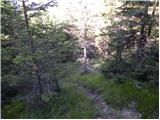 33
33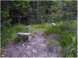 34
34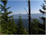 35
35
Discussion about the trail Bad Bleiberg - Hachelnock