Adergas - Štefanja gora (via šterna)
Starting point: Adergas (424 m)
| Lat/Lon: | 46,2706°N 14,4643°E |
| |
Name of path: via šterna
Time of walking: 1 h
Difficulty: easy marked way
Altitude difference: 324 m
Altitude difference po putu: 324 m
Map:
Recommended equipment (summer):
Recommended equipment (winter):
Views: 9.836
 | 2 people like this post |
Access to the starting point:
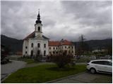
From the motorway Ljubljana - Jesenice take the exit Vodice or Brnik, or Kranj - East and follow the road towards Cerkelj na Gorenjskem. In Cerklje, continue on the main road (direction Adergas) and follow it to the village Trata, where the signs for Adergas point you to the right. Continue along a slightly narrower road, which you follow to a large parking lot in front of the former monastery in Adergas.
Path description:
From the parking lot, continue along the asphalted road, which continues along the left-hand side of the former monastery walls. Follow the road to the first left turn, where the signs for Štefanja gora direct you to the right onto a footpath. After a further 10 paces, the marked path turns left and starts to climb steeply. Soon the steepness gives way and the path from the water reservoir joins us on the left. Continue slightly to the right past a small signpost on a gently sloping path that continues along and along cart track, which is usually quite muddy for a few days after rain. A little further on, the path from Velesovo joins us from the left, and we continue along the wide and gently sloping cart track. The easy path then leads us to a marked crossroads, at which there is a small chapel.
Continue left in the direction of the 'stterna' (to the right of the 'bench') along the path, which continues for some time along the folded cart track. Cart track soon turns into a wide and slightly steeper footpath, which joins another wider cart track higher up. Continue the moderate ascent through the forest and the marked path from the village of Olševek joins from the left. Just above this crossroads we reach the "Šterna", where the path turns sharp right and after a further short climb leads us to a small pass. Here, continue to the right along cart track, which soon turns slightly further to the right onto a moderately steep footpath. The ascent continues along the above-mentioned path, which soon leads to an unmarked crossroads where we have two options for continuing.
If we continue to the right, we will climb to the top of Štefanja gora after 5 minutes of further walking on the unmarked path, but if we continue straight on the gently sloping path, we will first reach the excursion farm Pr Mežnarju, from which we will then climb to the aforementioned summit in 5 minutes.

Pictures:
 1
1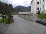 2
2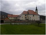 3
3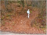 4
4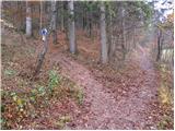 5
5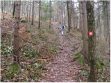 6
6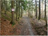 7
7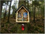 8
8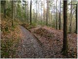 9
9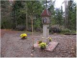 10
10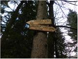 11
11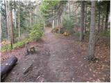 12
12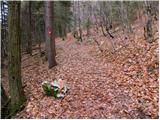 13
13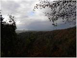 14
14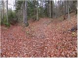 15
15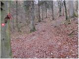 16
16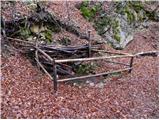 17
17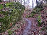 18
18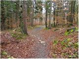 19
19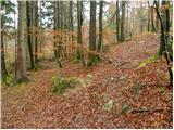 20
20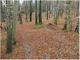 21
21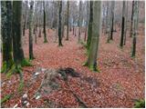 22
22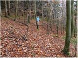 23
23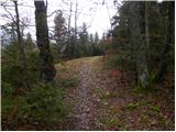 24
24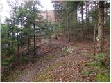 25
25 26
26
Discussion about the trail Adergas - Štefanja gora (via šterna)