Rifugio Dibona - Rifugio Pomedes
Starting point: Rifugio Dibona (2083 m)
| Lat/Lon: | 46,5326°N 12,0703°E |
| |
Time of walking: 40 min
Difficulty: partly demanding marked way
Altitude difference: 120 m
Altitude difference po putu: 120 m
Map: Tabacco 03 1:25.000
Recommended equipment (summer):
Recommended equipment (winter): ice axe, crampons
Views: 1.902
 | 2 people like this post |
Access to the starting point:
Access from Gorenjska: Via Border crossing Rateče or Predel to Trbiž / Tarvisio and then along the motorway towards Udine to the Tolmezzo exit. From Tolmezzo, follow the road towards Ampezzo and the Passo della Mauria mountain pass. The road then descends and leads to a crossroads where you turn left (possibly right) towards Cortina d'Ampezzo. At all subsequent junctions, follow the signs for Cortina d'Ampezzo.
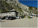
In Cortina d'Ampezzo, follow the signs for the Passo di Falzarego Alpine pass. Follow this ascending road to where a road forks off to the right in the direction of the rifugio Dibona hut (the fork is at about 1700m). The initially asphalted road leads higher up to a crossroads, where you continue on the lower road on the left (Duca d'Aosta hut on the right) and follow it to the parking lot behind the Dibona hut.
From the coastal side: take the motorway towards Venice/Venezia. At Portogruaro, leave the motorway towards Venice and turn right on the motorway towards Pordenone. At the next motorway junction near Conegliano, turn right towards Belluno. The motorway ends near Belluno and we continue towards Cortina d'Ampezzo at the next junctions. Continue as described above.
Path description:
From the parking lot at the Dibona hut, continue right on 421. The path initially crosses scree and begins to climb gently. The path runs eastwards and soon leads to a slightly wider torrential ravine. At the ravine, the path turns left and starts to climb steeply along the ravine. Due to the shifting sands, a little caution is needed in this part. The path then crosses the ravine and continues to climb quite steeply.
Later, a direct path branches off to the right quite inconspicuously towards hut Rifugio Duca d'Aosta, and just after that the protected Via ferrata Astaldi trail joins from the left. From the crossroads, the trail then climbs for some time through dwarf pines and soon leads to the Rifugio Pomedes hut.
Pictures:
 1
1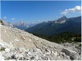 2
2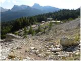 3
3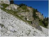 4
4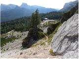 5
5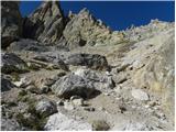 6
6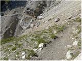 7
7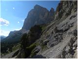 8
8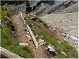 9
9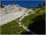 10
10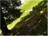 11
11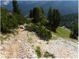 12
12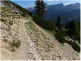 13
13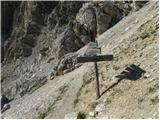 14
14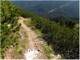 15
15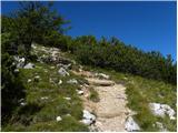 16
16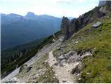 17
17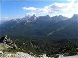 18
18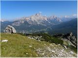 19
19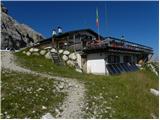 20
20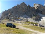 21
21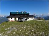 22
22
Discussion about the trail Rifugio Dibona - Rifugio Pomedes